Hiking Around Las Vegas, Red Rock Canyon National Conservation Area
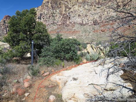
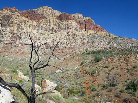
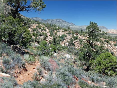
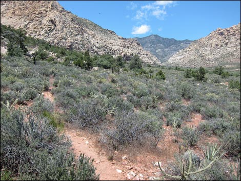
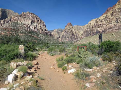 Pine Creek Trail approaching Dales Trail (view W) |
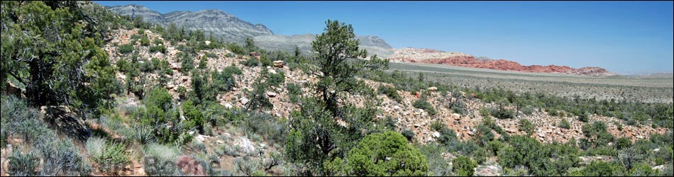
Overview Dales Trail is a 2.1-mile segment of the Escarpment Route that runs through open desert along the base of the Wilson Cliffs. Dales Trail runs between the Pine Creek Canyon Trail at the south end and the Ice Box Canyon Trail on the north end, so it can be walked in either direction. Here, Dales Trail is described as running northbound. For the other direction and for more details, see Dales Trail Southbound. Dales Trail runs through Pinyon-Juniper Woodland vegetation at a fairly gentle grade most of the way, but it has several short, steep sections; it is quite rocky and hard to walk on; and it seems to twist and jog back and forth far more than is necessary. The south end of the trail cuts across a number of steep ravines, but rather than contour around the back of the ravines, the trail drops into each one and climbs back up the other side. In general, this trail was poorly laid out and is not among my favorites. Fortunately, park benches along the trail encourage hikers to stop, relax, and enjoy the splendid views. Link to map. Link to BLM Georeference PDF map file. |
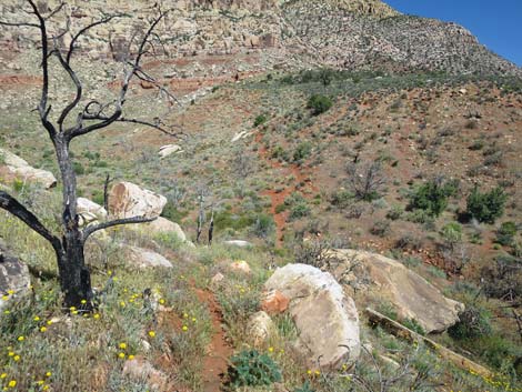
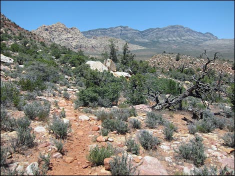
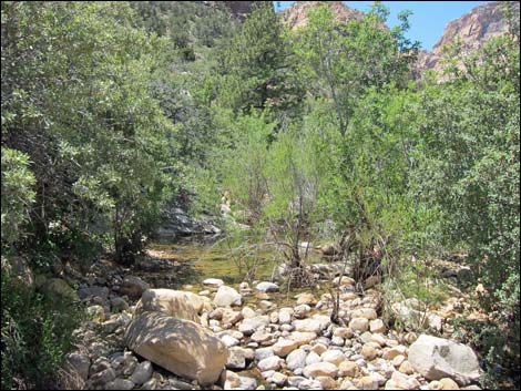
 Pine Creek Trail approaching Dales Trail (view E) |
Watch Out Other than the standard warnings about hiking in the desert, ...this is a moderately strenuous hike requiring careful attention to your feet so as not to twist an ankle on the many loose rocks. While hiking, please respect the land and the other people out there, and try to Leave No Trace of your passage. Also, even though this is a short hike, be sure to bring what you need of the 10 Essentials. Getting to the Trailhead This hike is located along the Scenic Loop Road in Red Rock Canyon National Conservation Area, about 45 minutes west of Las Vegas. Drive out to Red Rocks, pay the fee, and then drive about 2/3rds of the way around the Scenic Loop to the Pine Creek Canyon Trailhead. Park here; this is as close as it gets to the south end of Dales Trail. |
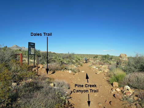
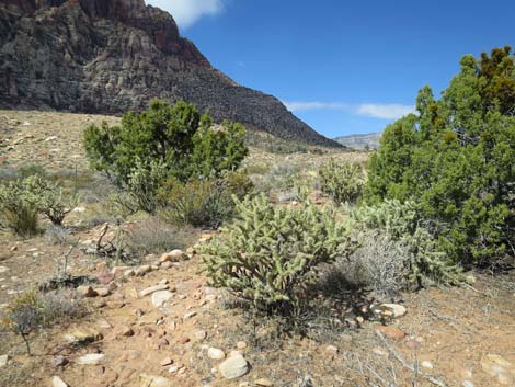
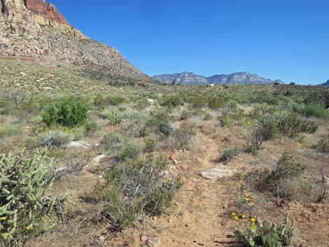
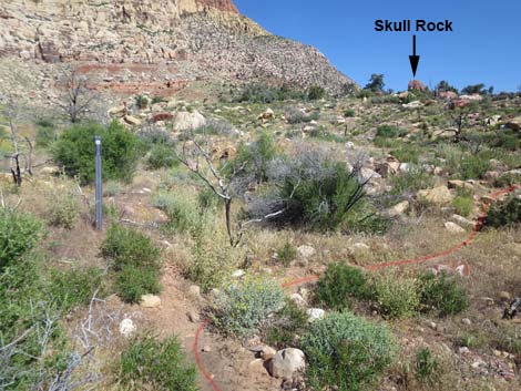
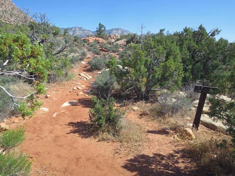
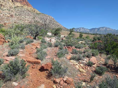
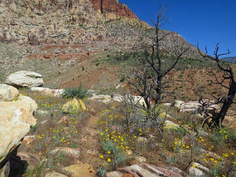
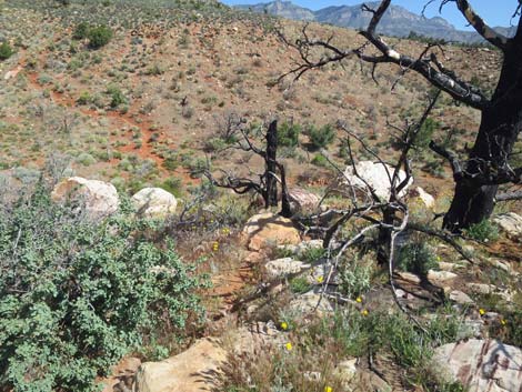
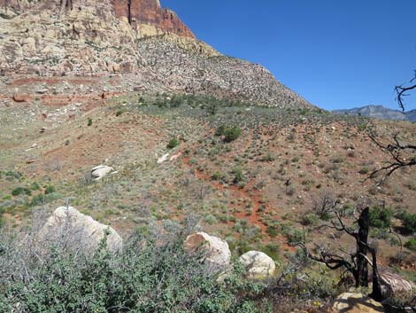
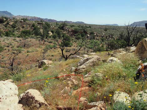
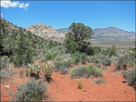
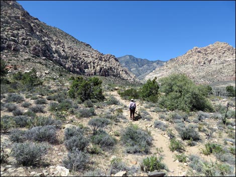
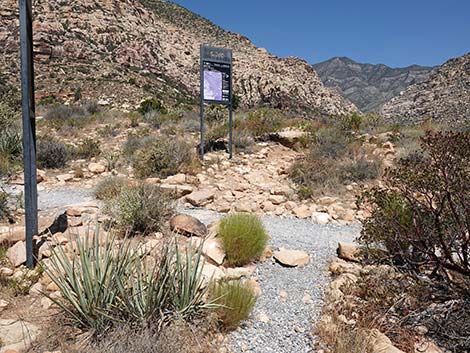
 Dales Trail (view N from Pine Creek Trail) |
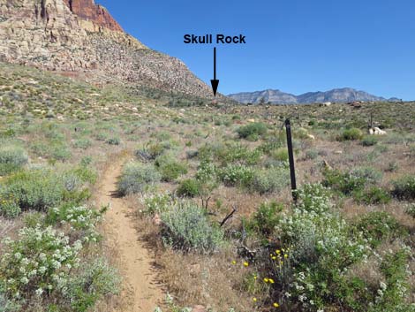
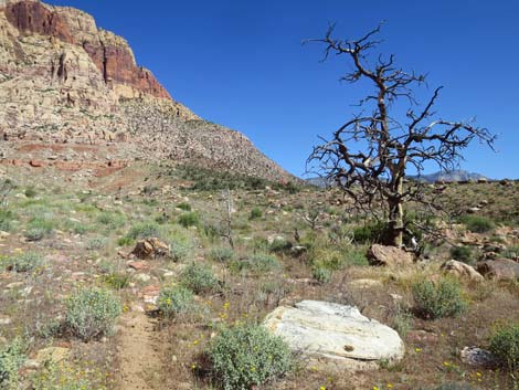
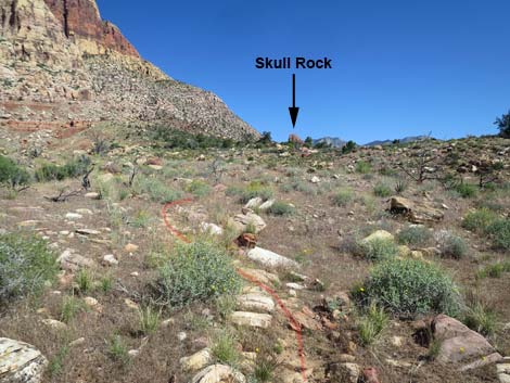
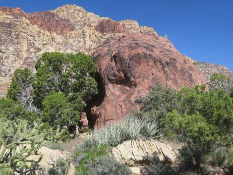
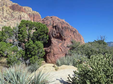
The Hike From the Pine Creek Canyon Trailhead, hikers need to head west on the Pine Creek Canyon Trail. This trail drops into Pine Creek Canyon, then turns west to pass the entrance to, and exit from, the Fire Ecology Trail, and at about 0.48 miles out, reaches a trail junction with Dales Trail (Table 1, Wpt. 10). Dales Trail runs north, starting out across gently sloping desert flats that burned a few years ago. The trail passes the toe of a low hill, crosses a wash, and switchbacks up a hillside to Skull Rock (Wpt. 09). Although interesting for hikers already here, this isn't a destination. Continuing, the trail runs up over the crest of the ridge (Wpt. 08) in an area of enormous, white sandstone boulders. From there, the trail drops steeply to cross a canyon, then climbs rather steeply up the far side of the wash to the top of the next ridge, which forms the northern edge of Pine Creek canyon. Running northwest along the edge of the ridge, the trail turns (Wpt. 07) to run north and more gently across the sidehills. |
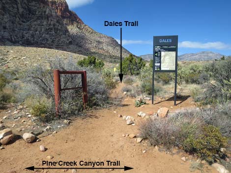
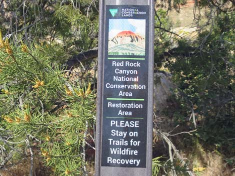
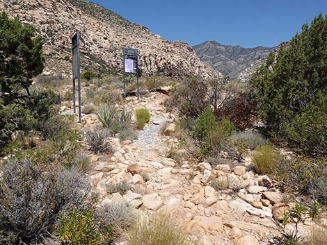
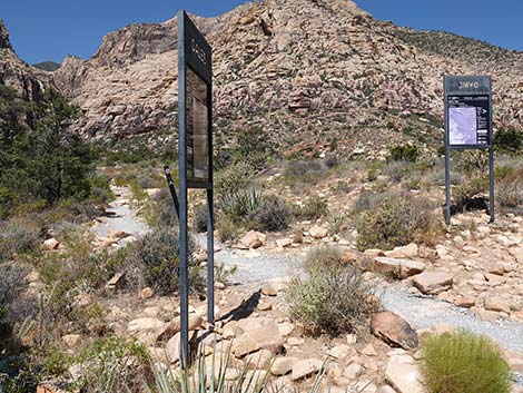
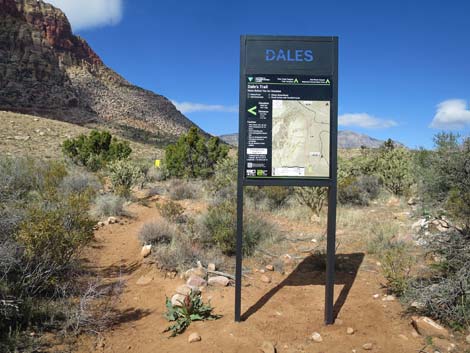 Dales Trailhead sign (view N from Pine Creek Trail) |
The trail continues northward across the side of the escarpment, dropping into, and climbing out of, every gully along the way. Fortunately, grand views and park benches (Wpt. 06) make the trail more pleasant. The trail passes a highpoint (Wpt. 05), drops through a gully and climbs back onto the hillside (Wpt. 04). The trail passes three major gullies, then begins to run gently down a canyon and out across the desert flats where the hiking generally is more pleasant. The trail eventually dips to cross Ice Box Wash, which sometimes has water, then climbs out the other side and shortly arrives at a junction with the Ice Box Canyon Trail (Wpt. 02). Dales Trail ends at this point. Hikers can continue north on the Escarpment Trail, where the next segment is the SMYC Trail. Alternatively, hikers can turn left and hike up Ice Box Canyon or turn right and hike out to the Ice Box Canyon Trailhead (Wpt 01). |
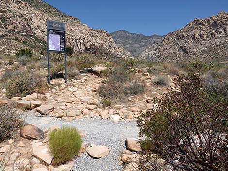
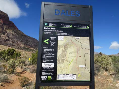 Dales Trailhead sign (view N) |
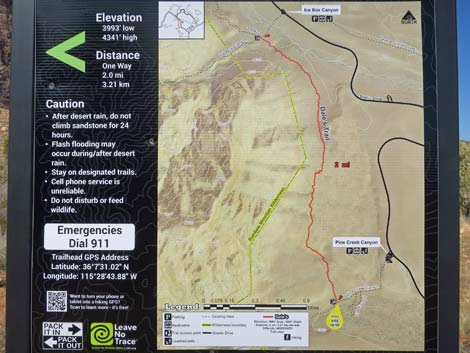 Dales Trailhead map (view N) |
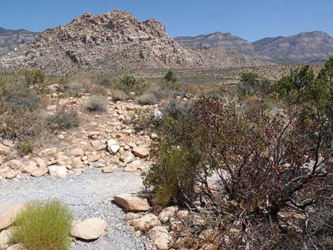
 Starting up Dales Trail (view N) |
 Dales Trail inside the barbed-wire fence (view N) |
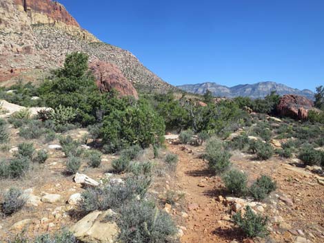
 Parts of Dales Trail are obvious (view N) |
 Parts of Dales Trail are faint (view N) |
 Parts of Dales Trail are obscure (view N) |
 Parts of Dales Trail are obscure (view N) |
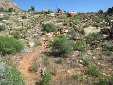 Parts of Dales Trail climbs somewhat steeply onto low ridge (view N) |
 Atop low ridge approaching Skull Rock (view NW) |
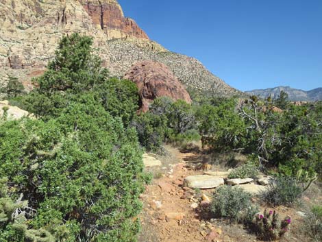 Dales Trail approaching Skull Rock (view NW) |
 Dales Trail at Skull Rock sign (view N) |
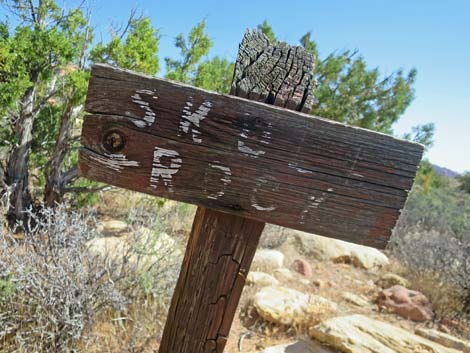 Skull Rock sign is fading out (May 2020; view N) |
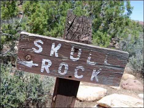 Skull Rock sign (May 2011; view N) |
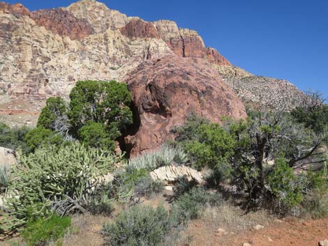 Skull Rock (view NW) |
 Skull Rock (view NW) |
 Skull Rock (view NW) |
 Dales Trail continues past Skull Rock (view NW) |
 Dales Trail winds through a rocky area (view W) |
 Trail sign: stay on trail through burn area (view W) |
 Dales Trail cresting a rocky ridge (view NW) |
 Dales Trail arriving at edge of steep hillside (view N) |
 Dales Trail is visible continuing across the canyon (view N) |
 Dales Trail switchbacks down across side of steep hillside (view NE) |
 Dales Trail switchbacks down across side of steep hillside (view NW) |
 Dales Trail cuts down across canyon and climbs out (view NE) |
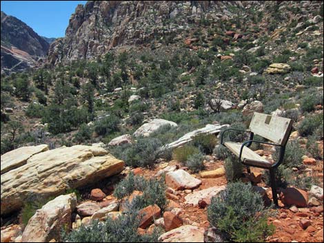 One of the park benches |
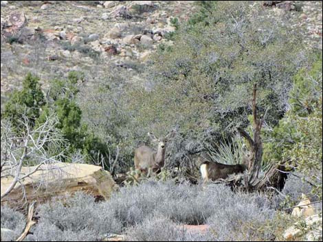 Mule Deer along the trail |
 Trail on hillside (view NE) |
 Trail on hillside (view N) |
 Approaching bench (just beyond tree; view N) |
 Approaching Ice Box Canyon Trail (view N) |
 Ice Box Wash with water (view W) |
 Hiker approaching Ice Box Canyon Trail (view N) |
 Dales Trail approaching trail junction (view N) |
 Dales Trail at Ice Box Canyon Trail and SMYC Trail junction (view N) |
 Hikers might turn west into Ice Box Canyon (view NW) |
 Hikers might continue straight across onto SMYC Trail (view N) |
 Hikers might turn east towards Ice Box Canyon Trailhead (view NE) |
 More to come ... |
Table 1. Hiking Coordinates Based on GPS Data (NAD27; UTM Zone 11S). Download Hiking GPS Waypoints (*.gpx) file.
| Wpt. | Location | UTM Easting | UTM Northing | Elevation (ft) | Point-to-Point Distance (mi) | Cumulative Distance (mi) | Verified |
|---|---|---|---|---|---|---|---|
| 12 | Wilson Homeplace | 636507 | 3998532 | 4,030 | . | . | GPS |
| 11 | Pine Creek Trailhead | 637417 | 3999122 | 3,988 | . | . | GPS |
| 10 | Dales Trail Junction | 636966 | 3998718 | 3,986 | 0.00 | 0.00 | GPS |
| 09 | Skull Rock | 636869 | 3999058 | 4,076 | 0.25 | 0.25 | GPS |
| 08 | Top of Ridge | 636829 | 3999119 | 4,103 | 0.06 | 0.31 | GPS |
| 07 | Edge of Major Ravine | 636678 | 3999243 | 4,205 | 0.15 | 0.46 | GPS |
| 06 | Sunny Bench | 636743 | 3999827 | 4,336 | 0.44 | 0.90 | GPS |
| 05 | High Point | 636756 | 3999907 | 4,341 | 0.05 | 0.95 | GPS |
| 04 | Hillside | 636831 | 4000056 | 4,314 | 0.17 | 1.12 | GPS |
| 03 | Park Bench | 636801 | 4000352 | 4,268 | 0.22 | 1.34 | GPS |
| 02 | Trail Junction | 636233 | 4001217 | 4,307 | 0.78 | 2.12 | GPS |
| 01 | Ice Box Canyon Trailhead | 636455 | 4001453 | 4,280 | . | . | GPS |
Happy Hiking! All distances, elevations, and other facts are approximate.
![]() ; Last updated 250705
; Last updated 250705
| Hiking Around Red Rocks | Hiking Around Las Vegas | Glossary | Copyright, Conditions, Disclaimer | Home |