Backroads Around Las Vegas, Gold Butte National Monument
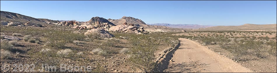
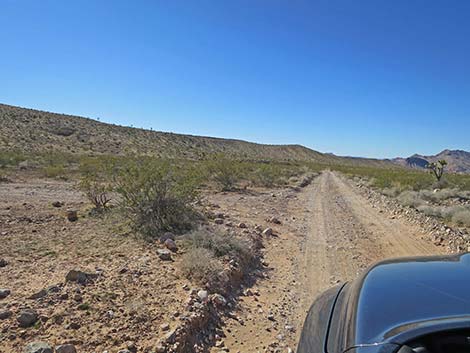
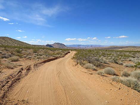
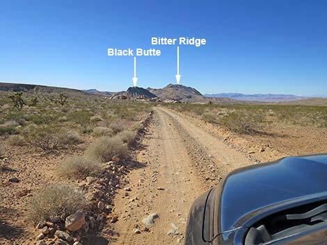
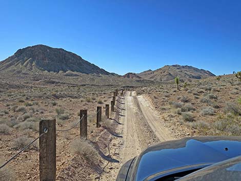
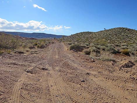
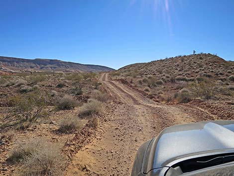
 Southbound Gold Butte Road approaching Black Butte Road (view S) |
Overview Black Butte Road is a 5.3-mile side road off Gold Butte Road that provides 2WD-HC vehicle access to wild and rugged parts of Gold Butte National Monument west of Whitney Pocket. From the pavement, Black Butte Road runs southwest to the Falling Man Petroglyph Site. Past the trailhead, the road gets rougher and is better suited for 4WD vehicles, but still usually is passable in 2WD-HC vehicles. The road continues southwest, crosses a sandy wash (access to Twenty-one Goats), climbs over a low ridge, crosses another wash, passes the Black Butte and Sand Wash trailheads, and eventually climbs high onto the south side of Bitter Ridge. From there, the road drops steeply into a wash, then follows the wash uphill until climbing onto a ridge overlooking the Overton Arm of Lake Mead. The last section is suitable to ATV-type vehicles For photos of the return back up Black Butte Road to the pavement, see Black Butte Road (northeast bound). Link to road map or regional road map. |
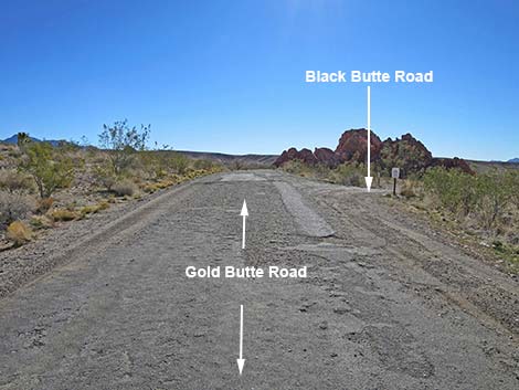
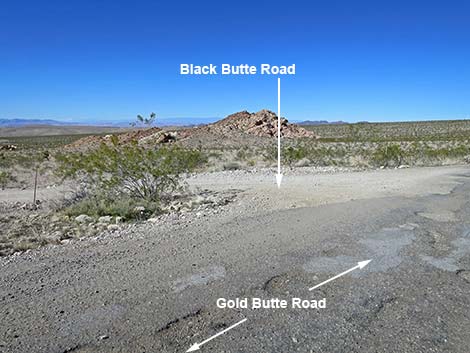
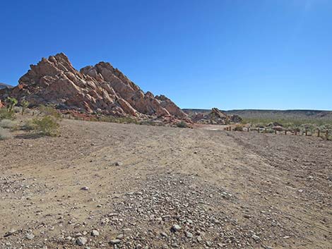
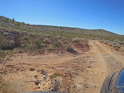
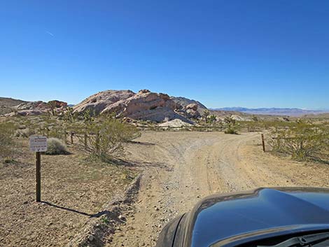
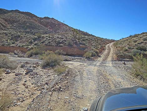
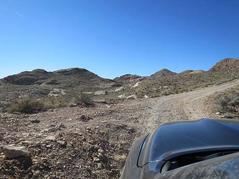
 Southbound Gold Butte Road at Black Butte Road (view SW) |
Watch Out Note (March 2022): this road was recently graded. Other than the standard warnings about hiking in the desert, ... except for the last section, this road is fairly safe without any unusual hazards. I nearly rolled a jeep on the last section. This is wild and remote country without services of any kind (no restrooms, no water, no gas, no food). Bring what you need to survive. Be prepared and be self-reliant. It is a big place, but someone will eventually find you if you stay on a main road, but be prepared to survive alone for a day or two, or even longer on side roads. Some cell phones might work in this area, but don't count on them. The very end of the road should have cell service. While out, please respect the land and the other people out there, and try to Leave No Trace of your passage. Also, this is a remote area, so be sure to bring the 10 Essentials. |
 Black Butte Road (view SW from
Gold Butte Road) Black Butte Road (view SW from
Gold Butte Road) |
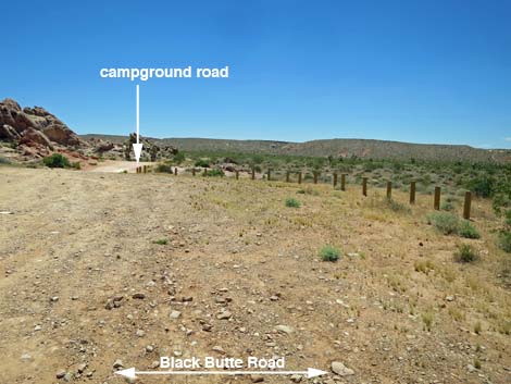
Getting to the Road Black Butte Road is located out in Gold Butte National Monument northeast of Lake Mead, about 1.75 hours northeast of Las Vegas. From Las Vegas, drive out to Gold Butte National Monument. Drive south on the paved Gold Butte Road for 19.7 miles to the unmarked intersection with Black Butte Road, on the right. Alternatively, from Whitney Pocket, drive north on the paved Gold Butte Road for 1.5 miles to just past the last big sandstone crag on the left. An unmarked dirt road leaves the pavement to the left: this is Black Butte Road. |
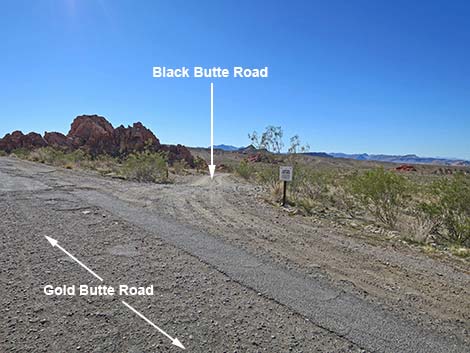
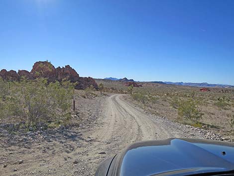
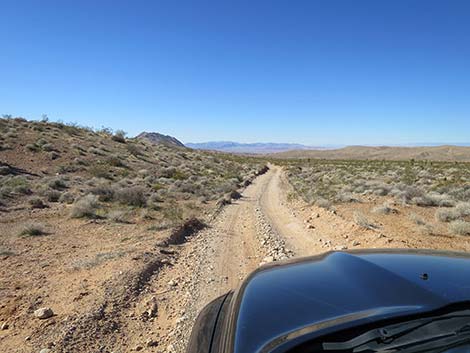
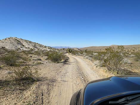
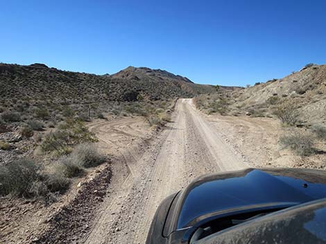
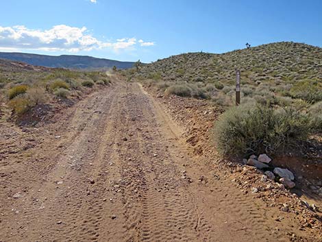
 Northbound Gold Butte Road approaching Black Butte Road (view N) |
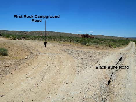
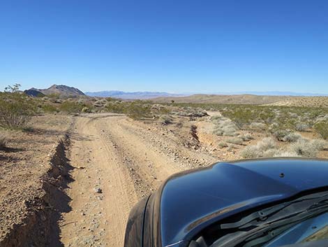
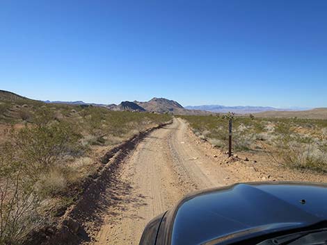
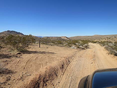
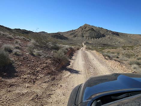
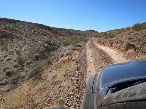
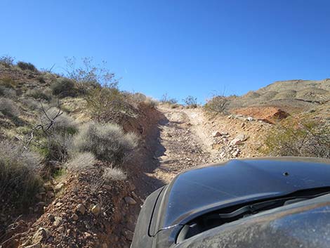
The Road From the pavement (Table 1, Site 1004), Black Butte Road angles away from the pavement and passes along the north side of a large sandstone crag with a number of informal campsites around the base. A spur road (Site 1662) to the left leads to campsites on the backside of the crag and loops back out to Gold Butte Road. Farther along Black Butte Road, two more side roads branch off to the left, but both obviously are not the main road. These roads lead back to Gold Butte Road and Whitney Pocket, but they are not better than Black Butte Road and are not a shortcut to either place. This first mile of Black Butte Road is the roughest section until the end of the road. The bumpy road runs straight southwest across the open valley, crosses a wash that frequently washes out, and eventually bends sharply more to the west. Beyond the curve, the road becomes much smoother. |
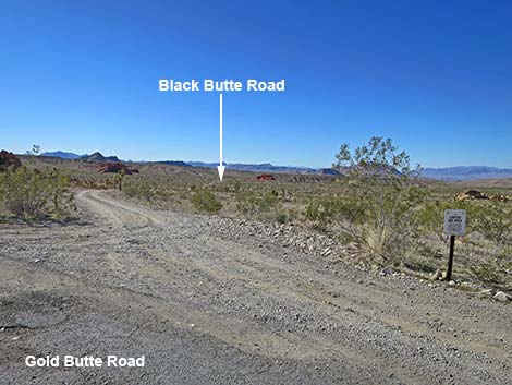
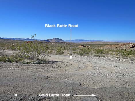 Northbound Gold Butte Road at Black Butte Road (view W) |
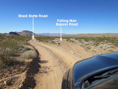
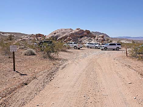
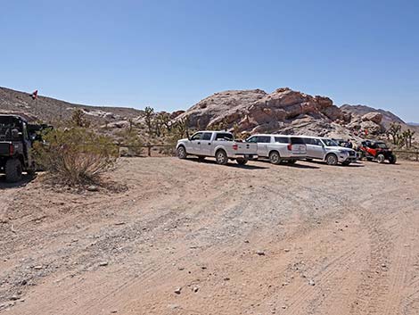
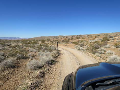
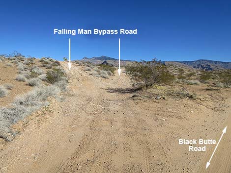
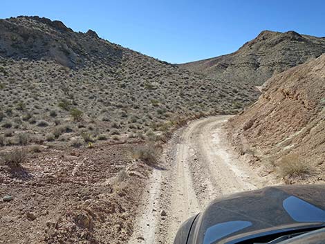
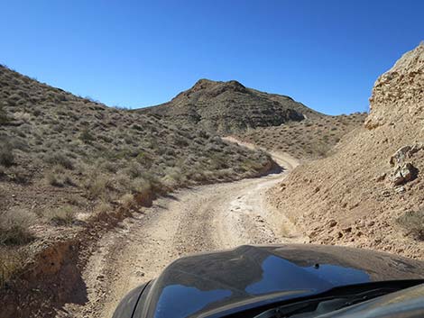
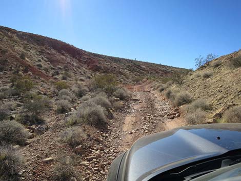
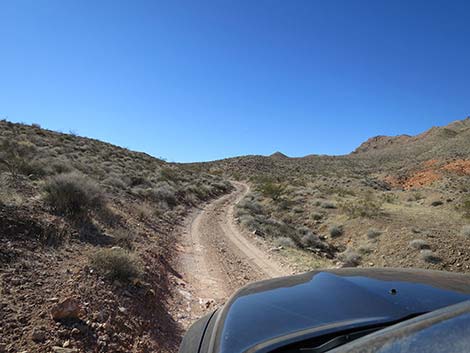
At 1.2 miles from the pavement, the road forks equally (Site 1005). Black Butte Road stays left, while Falling Man Bypass Road forks right. The two roads rejoin about 1.1 mile ahead, but the left (south) fork leads to the Falling Man petroglyph site and is the much better road. The right road, Falling Man Bypass Road, seems long, slow, and bumpy. Other than for something different, there is no real reason to use this alternate road. Staying left at the fork, the road continues with some rocky sections, but generally is a good road. There is one blind curve where sometimes folks on ATVs drive too fast, although none have hit me head-on yet. At 1.9 miles out, the road arrives at a wooden-fence corral that delineates trailhead parking for the Falling Man Petroglyph Site (Site 1006). The walk is short and the area is interesting, so be sure to stop and take the walk into the sandstone crags. Black Butte Road continues southwest, passing out the other side of the trailhead parking corral. The road generally is less well maintained after the trailhead. At 2.4 miles out, Falling Man Bypass Road rejoins from the right, and Black Butte Road continues southwest. |
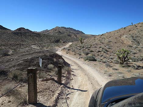
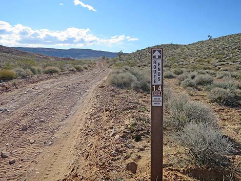
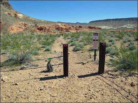
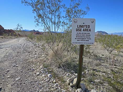 Sign at start of Black Butte Road (view SW) |
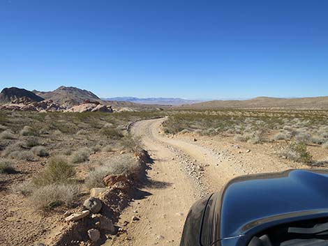
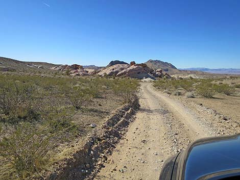
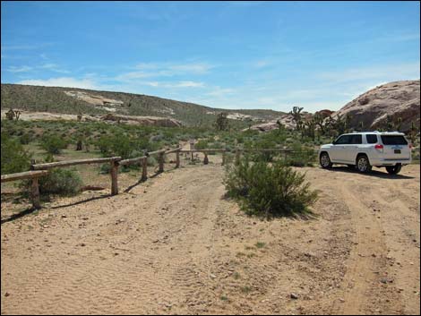
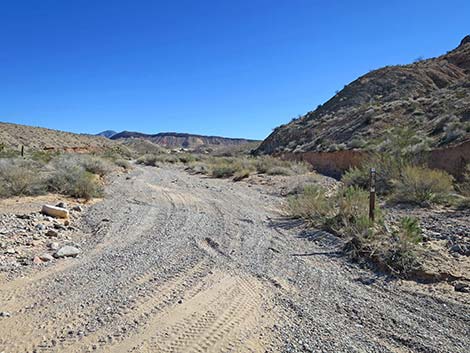
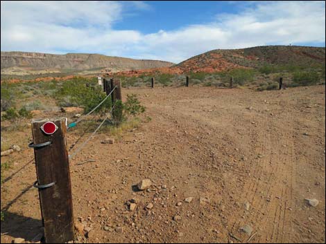
At about 2.7 miles out, the road crosses a wash, and shortly post-and-cable fencing appears along the left side of the road. The fencing is intended to keep vehicles off the gypsum-rich soils that serve as rare habitat for the protected Las Vegas Bearpoppy. The fencing blocks a closed road across the Bearpoppy habitat to the Twenty-one Goats petroglyph site. Unfortunately, some people illegally drive around the end of the fence onto the closed road. For people wanting to see 21 Goats, continue southwest on the main road. The road turns a sharp corner and drops into a broad wash (Site 1664; 3.2 miles out). In the wash, Twenty-one Goats Road branches left and runs up the wash for 0.4 miles to 21 Goats Trailhead. From there, it is a short walk to 21 Goats and to Black Butte Dam. |
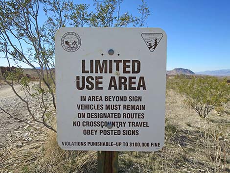 Often removed or vandalized, this sign still is true |
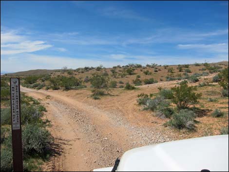
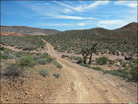
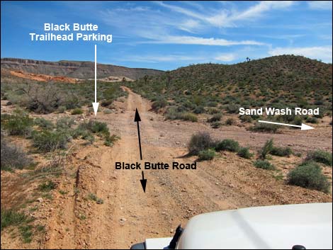
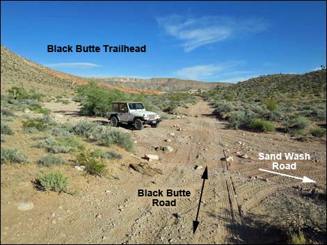
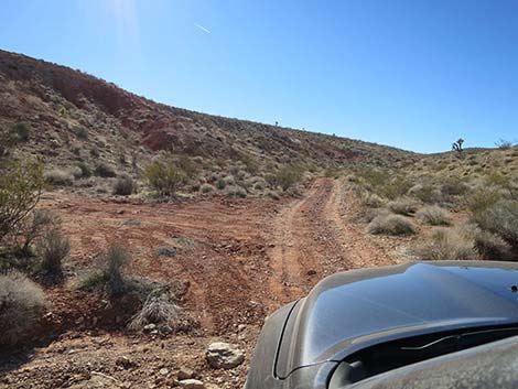
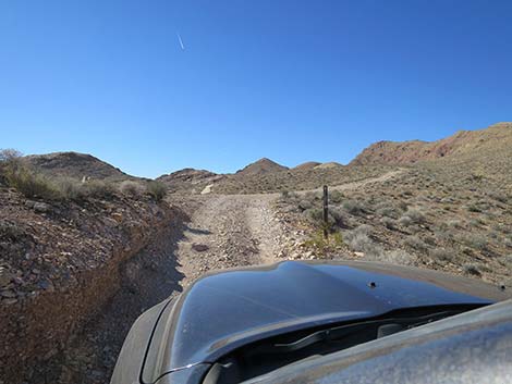
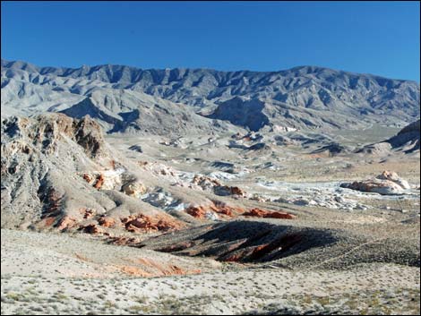
From Twenty-one Goats Road, Black Butte Road crosses the wash and climbs steeply over the ridge directly ahead. The road runs up a steep, fairly narrow gully where 4WD often is useful. The road winds through interesting mud hills, then drops into the broad and sandy Sand Wash (Site 1666; 3.5 miles out). Here, Black Butte Road continues straight across, Black Butte Peak Trailhead is the wash on the upstream side, and Sand Wash Road goes down the wash. Sand Wash Road can be used to connect with Fisherman Cove Road to the north to make a loop back to Whitney Pocket using the paved Gold Butte Road, or connect with Mud Wash Road to the south to make a loop back to Whitney Pocket using the unpaved Gold Butte Road. |
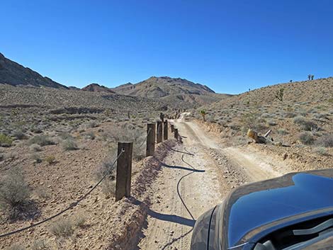
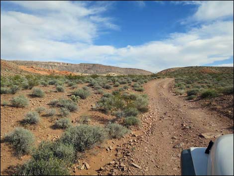
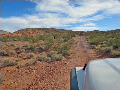
 Black Butte Road (view SW from the pavement) |
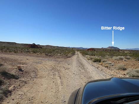
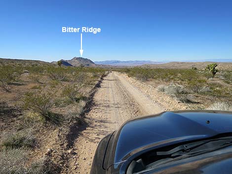
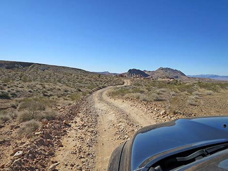
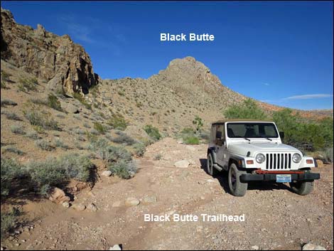
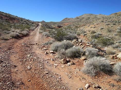
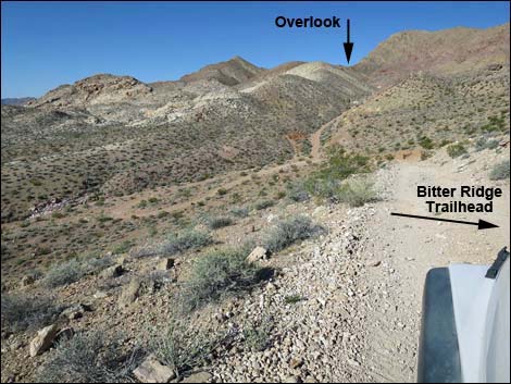
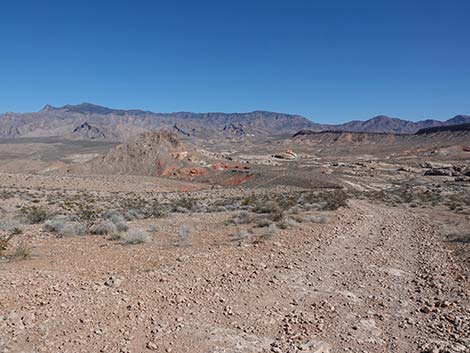
Continuing, Black Butte Road runs southeast running above Sand Wash to another post-and-cable fence that delineates the Sand Wash Trailhead (Site 1667; 3.8 miles out). The Sand Wash area is a great place to hike around the colorful sandstone crags below Bitter Ridge. From there, the road deteriorates considerably as it climbs, steeply at times, up onto the flanks of Bitter Ridge. At about 4.5 miles out, a wide spot on the right serves at the Bitter Ridge Peak Trailhead (Site 1668). Beyond the trailhead, the road runs over a side-ridge and starts steeply down into the canyon below. The road drops steeply through an S-curve, then drops into the wash at the bottom. Heading upstream in the wash, at about 4.9 miles out, the now difficult road steeply exits the wash to climb onto a ridgeline (Site 1669; 5.3 miles out) with a grand view of the Overton Arm of Lake Mead. This last part of the road is most suitable for ATV-type vehicles. The road dead-end at the overlook, so when ready, turn around and make another adventure on the way out. |
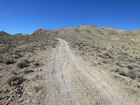
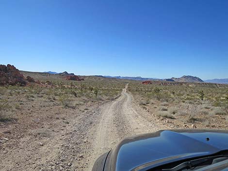 Black Butte Road (view SW not far from the pavement) |
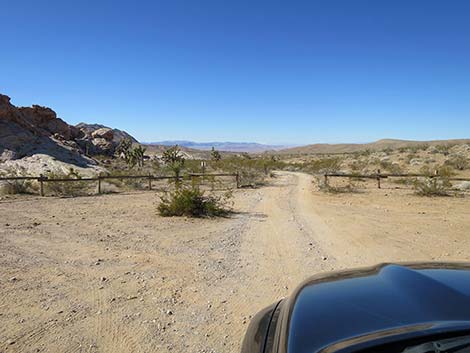
 Black Butte Road approaching First Rock campsites road (view SW) |
 Black Butte Road at First Rock campsites access road (view SW) |
 First Rock campsites road (view S) |
 First Rock campsites access road (view S) |
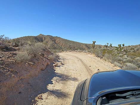
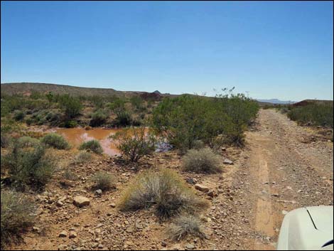 Water puddle adjacent to the road after a storm (view SW) |
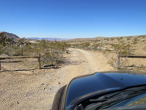
 Black Butte Road departing First Rock campsites area (view SW) |
 Black Butte Road at a wide spot (view SW) |
 One of few parking pullouts (view SW) |
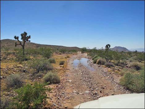 Water puddle on the road after a storm (view SW) |
 Approaching a wash, often a problem for sedans (view SW) |
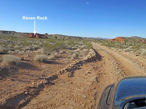
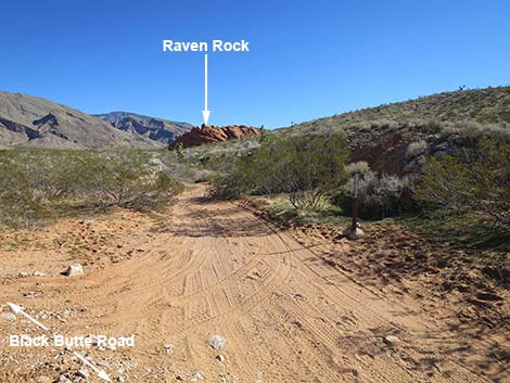
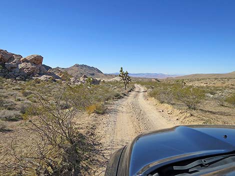
 Black Butte Road approaching first road to Raven Rock (view SW) |
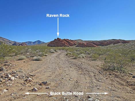 First road to Raven Rock (view SE from Black Butte Road) |
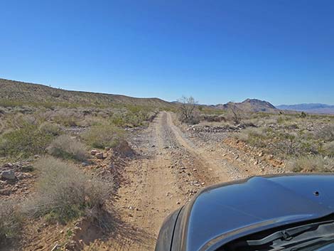
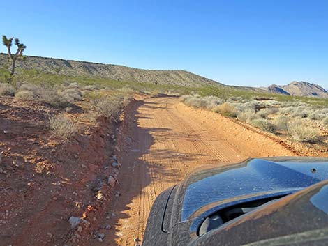
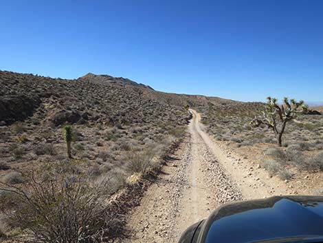
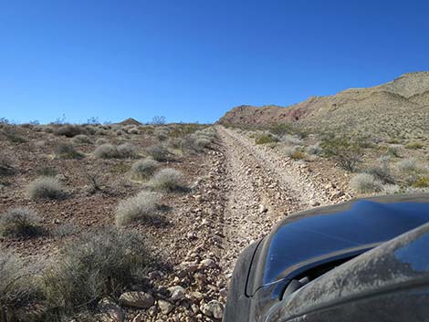
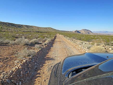 Black Butte Road (view SW) |
 Black Butte Road (view SW) |
 Black Butte Road approaching second road to Raven Rock (view SW) |
 Second road to Raven Rock (view E from Black Butte Road) |
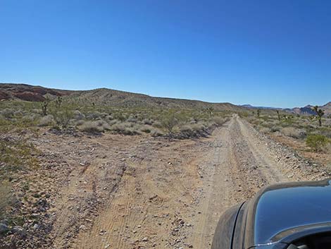
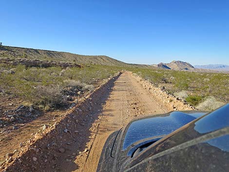
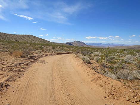
 Black Butte Road transitions onto less rocky soils (view SW) |
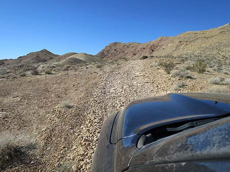
 Black Butte Road curves right (view SW) |
 Black Butte Road bends more to the west (view WSW) |
 After the turn, the road generally is much smoother (view WSW) |
 Road bypasses an old washout (view W) |
 Watch for oncoming traffic on blind curve (view W) |
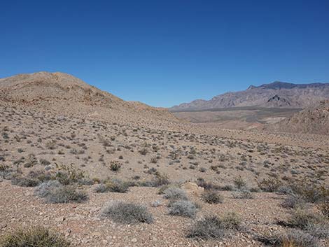
 Big, open views (view SW) |
 Black Butte Road at Falling Man Bypass Road (view SW) |
 Occasional "designated road" marker (view SW) |
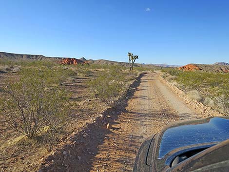
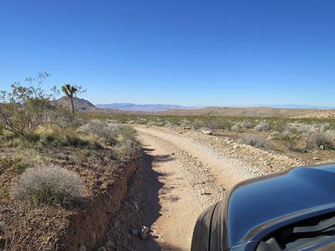
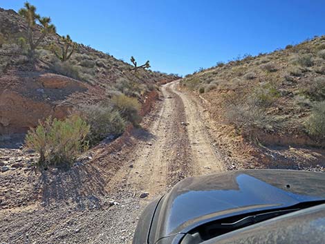
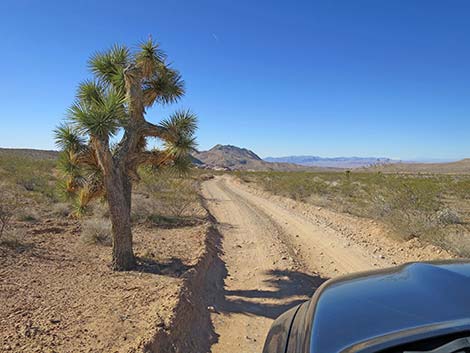 Eastern Joshua Tree along Black Butte Road (view SW) |
 Interesting destinations ahead (view SW) |
 This spot is tilted, steeper than it looks, and can washout |
 Descending towards the Falling Man area (view SW) |
 Approaching sandstone crags in the Falling Man area (view SW) |
 Approaching Falling Man trailhead parking area (quiet day; view SW) |
 Approaching Falling Man trailhead parking area (busy day; view SW) |
 Falling Man trailhead parking area (view SW) |
 Falling Man Site trailhead parking (view S) |
 More to come ... |
 Black Butte Road continues through trailhead parking area (view W) |
 Black Butte Road exiting Falling Man trailhead parking (view W) |
 Black Butte Road passing the Falling Man area (view SW) |
 Entering the gypsum soils area (view SW) |
 Another of a few pullouts (view SW) |
 Approaching the other end of fork passed before Falling Man |
 From previous fork, alternate road rejoins main road (view W) |
 Looking back at alternate road rejoining the main road (view NE) |
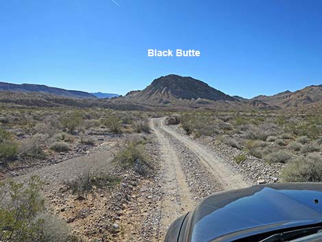
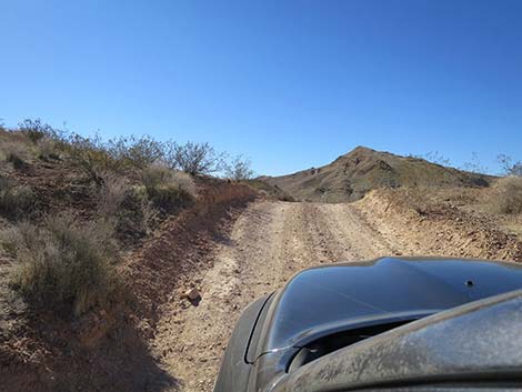
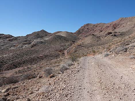
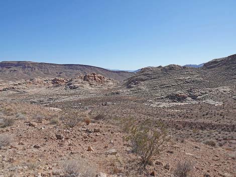
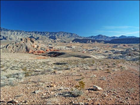
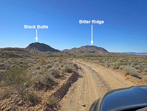 Black Butte and Bitter Ridge ahead (view SW) |
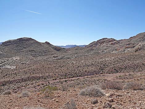
 Black Butte Road traverses broad valley (view SW) |
 Black Butte Road traverses broad valley (view SW) |
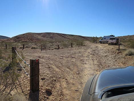
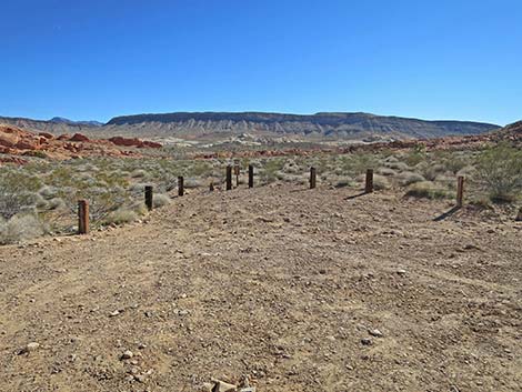
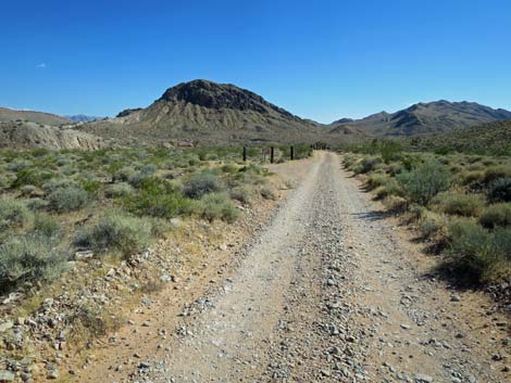 Black Butte Road approaching post-and-cable fence |
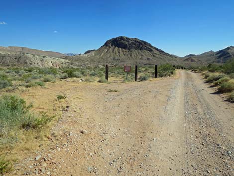 Black Butte Road at post-and-cable fence |
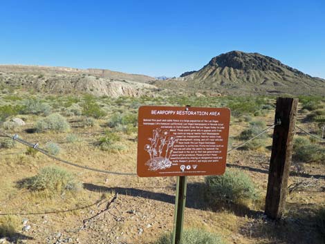 Information sign: Las Vegas Bearpoppy restoration area |
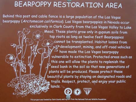 Information sign: Las Vegas Bearpoppy restoration area |
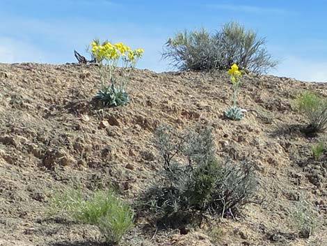 Las Vegas Bearpoppies with yellow flowers |
 Post-and-cable fence protects Las Vegas Bearpoppy |
 Several steep dips in the road that can wash out (view SW) |
 End of post-and-cable fence protecting Las Vegas Bearpoppy |
 Approaching a turn-around loop; not sure why (view SW) |
 The road dips through another wash (view SW) |
 Black Butte Road climbing over another low ridge (view SW) |
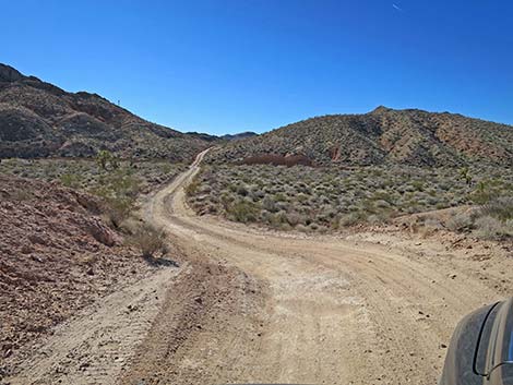 Black Butte Road descending into another wash (view S) |
 Black Butte Road approaching Twenty-one Goats Road (view S) |
 Twenty-one Goats Road (view E from Black Butte Road) |
 Black Butte Road climbs steeply over the next ridge (view S) |
 Black Butte Road cresting the steep ridge (view S) |
 Black Butte Rd traverses rolling country towards next ridge (view S) |
 Black Butte Road descending into the next wash (view S) |
 Black Butte Road winding up towards the next ridge (view S) |
 Cresting the last ridge and approaching Sand Wash (view S) |
 Black Butte Road approaching Sand Wash (view SE) |
 Black Butte Trailhead Parking (view SE) |
 Black Butte Trailhead Parking (view E) |
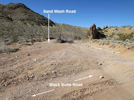 Start of Sand Wash Road (view S from Black Butte Road) |
 Black Butte Road continues across Sand Wash Road (view S) |
 Black Butte Road approaching Designated Road sign (view SE) |
 Designated Road sign just past Sand Wash (view SE) |
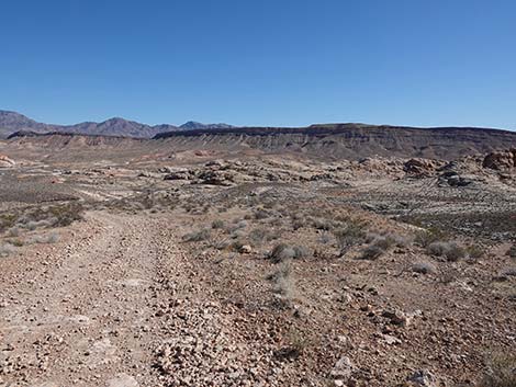
 Black Butte Road continues past Sand Wash (view SE) |
 Black Butte Rd traversing rolling terrain and steep dips (view SE) |
 Black Butte Road, approaching Sand Wash Trailhead (view SE) |
 Black Butte Road at Sand Wash Trailhead (view SE) |
 Entering Sand Wash Trailhead (view SE) |
 Sand Wash Trailhead parking (view E) |
 Trail into Sand Wash departs parking area (view E) |
 Additional Sand Wash Trailhead parking (view S) |
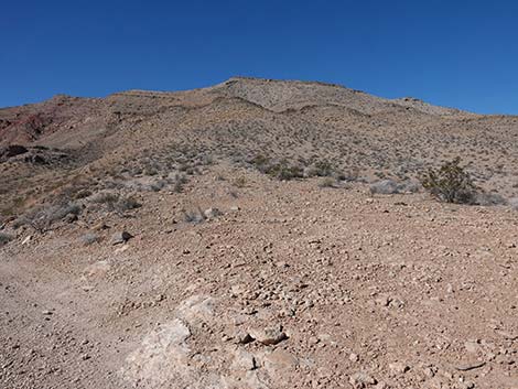
 Beyond Sand Wash Trailhead, the road is not maintained (view SW) |
 Black Butte Road begins to climb towards the ridgeline (view SW) |
 The road begins to get rough (view SW) |
 Black Butte Road passing a tight turn-around (view SW) |
 Black Butte Road approaching the steepest part (view SW) |
 Steep, narrow road (view SW) |
 Road conditions improve, but remain fairly steep and narrow |
 Passing a narrow side road, best in a narrow vehicle (view SW) |
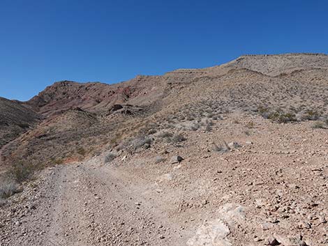
 Climbing onto the ridgeline (view SW) |
 Passing other end of the narrow road (view SW) |
 Steep climb up the ridgeline towards Bitter Ridge (view W) |
 Steep climb up the ridgeline towards Bitter Ridge (view W) |
 Steep climb up the ridgeline towards Bitter Ridge (view W) |
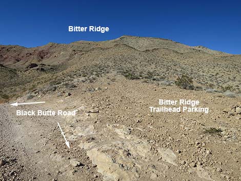
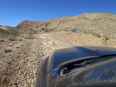 Black Butte Road approaching Bitter Ridge Trailhead (view SW) |
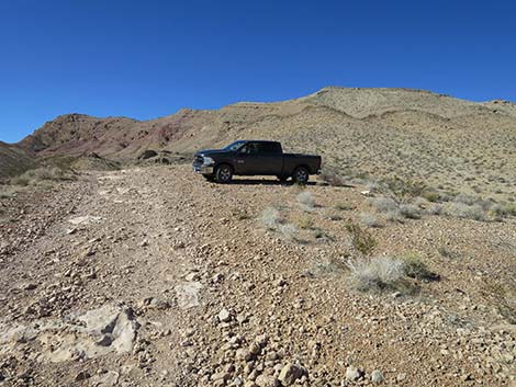 Vehicle parked at Bitter Ridge Trailhead (view W) |
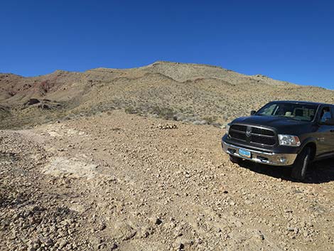 Bitter Ridge Trailhead (view W) |
 Passing trailhead, Black Butte Road continues down over ridge |
 Black Butte Rd passes Bitter Ridge Trailhead and climbs to overlook |
Trailhead Scenery
 Bitter Ridge hiking route (view NW) |
 Black Butte Road and Bitter Ridge false summit (view W) |
 End of Black Butte Road at overlook (view W) |
 Lime Ridge and high peaks in southwest Gold Butte (view SW) |
 Grand Wash Cliffs and Grand Canyon (view SE) |
 Billy Goat Peak and white sandstone domes (view ESE) |
 Virgin Peak, Black Butte, and the white sandstone domes (view ENE) |
 Virgin Peak and Fisherman Flats (view NNE) |
 Virgin Peak and the white sandstone domes (view E) |
 Virgin Ridge plus red and white sandstone (zoom, view E) |
Table 1. Highway Coordinates Based on GPS Data (NAD27; UTM Zone 11S). Download Highway GPS Waypoints (*.gpx) file.
| Wpt. | Location | Latitude (N) | Longitude (W) | Elevation (ft) | Point-to-Point Distance (mi) | Cumulative Distance (mi) | Verified |
|---|---|---|---|---|---|---|---|
| 1004 | Gold Butte Rd at Black Butte Rd | 36.53039 | 114.16102 | 2,776 | 0.00 | 0.00 | Yes |
| 1662 | Black Butte Rd at Campsites Rd | 36.52822 | 114.16210 | 2,699 | 0.16 | 0.16 | Yes |
| 1005 | Black Butte Rd at Black Butte Alt Rd East | 36.51797 | 114.17499 | 2,530 | 1.07 | 1.23 | Yes |
| 1006 | Black Butte Rd at Falling Man Trailhead | 36.51165 | 114.18454 | 2,393 | 0.70 | 1.93 | Yes |
| 1663 | Black Butte Rd at Black Butte Alt Rd West | 36.51045 | 114.19195 | 2,326 | 0.43 | 2.36 | Yes |
| 1664 | Black Butte Rd at 21 Goats Rd | 36.50146 | 114.20113 | 2,234 | 0.88 | 3.24 | Yes |
| 1666 | Black Butte Rd at Sand Wash Rd | 36.49791 | 114.20377 | 2,219 | 0.30 | 3.54 | Yes |
| 1667 | Black Butte Rd at Sand Wash Trailhead | 36.49483 | 114.20189 | 2,289 | 0.24 | 3.78 | Yes |
| 1668 | Black Butte Rd at Bitter Ridge Trailhead | 36.48825 | 114.20952 | 2,566 | 0.69 | 4.47 | Yes |
| 1669 | Black Butte Rd End | 36.48408 | 114.21952 | 2,877 | 0.79 | 5.26 | Yes |
Happy Hiking! All distances, elevations, and other facts are approximate.
![]() ; Last updated 240326
; Last updated 240326
| Backroads Around Las Vegas | Hiking Around Las Vegas | Glossary | Copyright, Conditions, Disclaimer | Home |