Backroads Around Las Vegas, Gold Butte National Monument
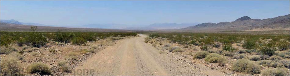
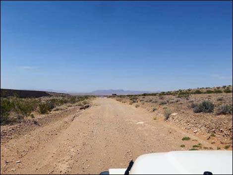
 Fisherman Cove Road (view SW from Gold Butte Road) |
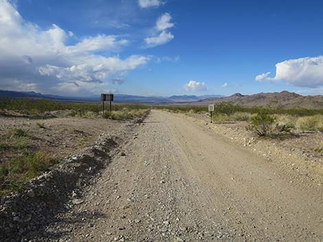
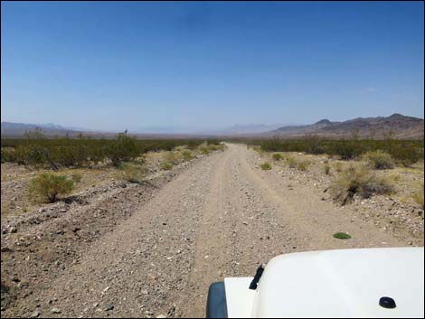
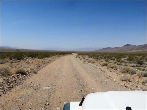
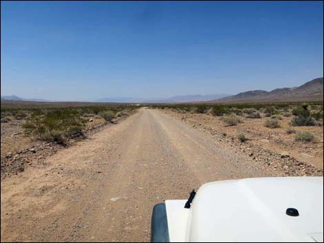
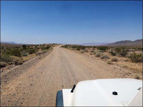
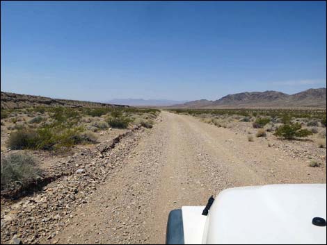
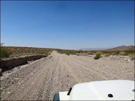
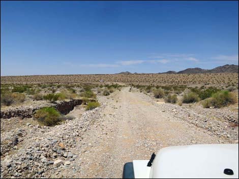
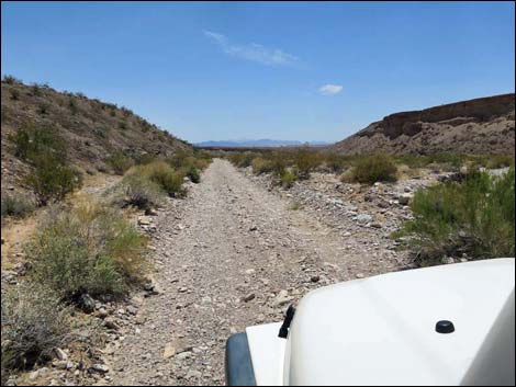
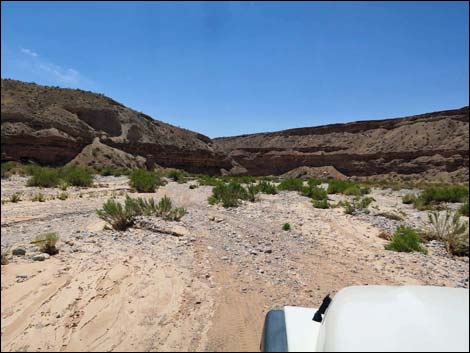
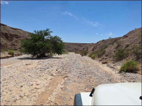
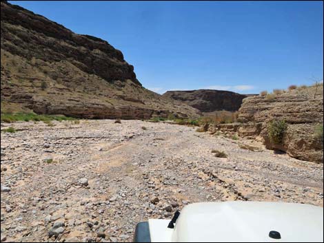
Overview Fisherman Cove Road is a 10.5-mile partially graded, partially two-track road that runs east-west between the paved Gold Butte Road and Fisherman Cove along the Virgin River, which is within the boundaries of Lake Mead NRA. The road is graded for the first 7 miles, and much of this part runs across a broad bajada with long views southwest to Lake Mead, but it crosses two major washes that can be washed out. At 7.1 miles out, the road forks. Fisherman Cove Road stays left and soon narrows as it follows washes downstream, becoming a two-track where everything is washed out farther down. This road provides access to the Virgin River, and it can be used as part of a loop that connects with Sand Wash Road or Mud Wash Road to return to Whitney Pocket. Link to road map. |
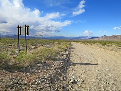
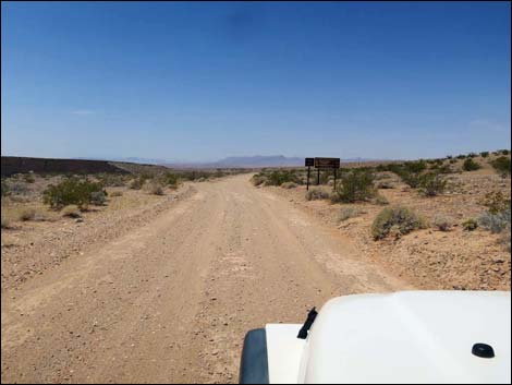
 Signs at the start of Fisherman Cove Road (view SW) |
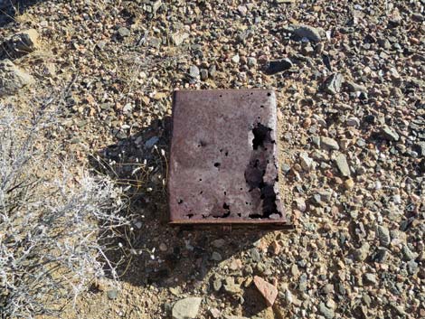
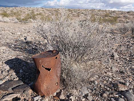
Historic Road Fisherman Cove Road is more than some old dirt road in the desert -- this is what remains of the first road built for motor vehicles that connected Las Vegas with Salt Lake City, and therefore part of the first transcontinental motor road that connected Los Angeles with the eastern U.S. Originally built in the 1910s and named the Arrowhead Highway or Arrowhead Trail, this section ran between St. Thomas and Mesquite. When Lake Mead was flooded in about 1938, the Arrowhead Highway was moved farther north (present day Interstate 15), and the Fisherman Cove Road section was abandoned. Hikers can still find items of historical interest along the road where early drivers camped or threw trash from their vehicles. When encountering items such as the rusty oil can with an 1898 patent pending date, please leave them for future generations to find and enjoy. |
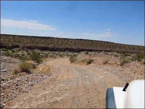
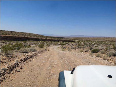
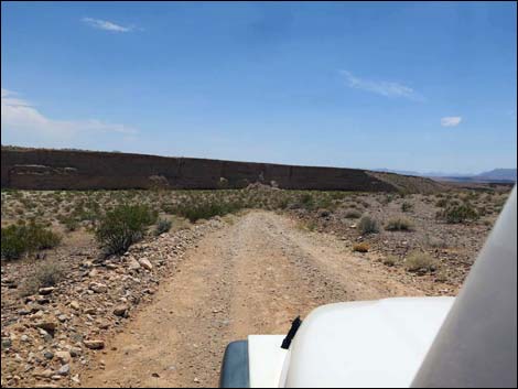
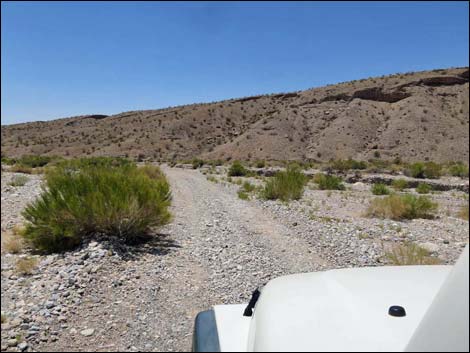
 Starting down Fisherman Cove Road (view SW) |
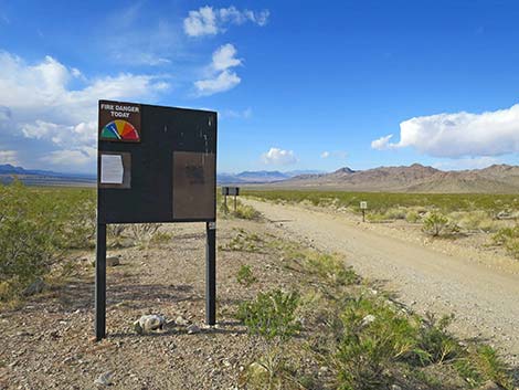
Watch Out Other than the standard warnings about hiking in the desert, ... this road is fairly safe for the first 7 miles, but it runs into a wild and remote area without services of any kind (no restrooms, no water, no gas, no food). For the remaining 3 miles, the road runs in washes where conditions change and 4WD always is a good idea. Bring what you need to survive. Be prepared and be self-reliant. Someone will find you eventually if you stay on main roads, but be prepared to survive alone for a day or more on side roads. Cell phones should work towards the middle of the road. While out, please respect the land and the other people out there, and try to Leave No Trace of your passage. Also, this is a remote area, so be sure to bring the 10 Essentials. |
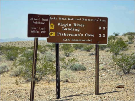
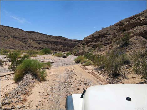
 Approaching a Limited Use Area sign (view SW) |
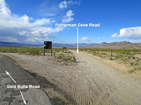
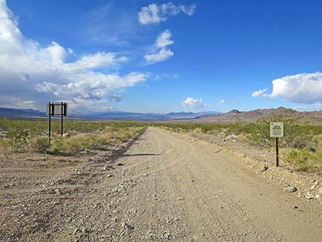
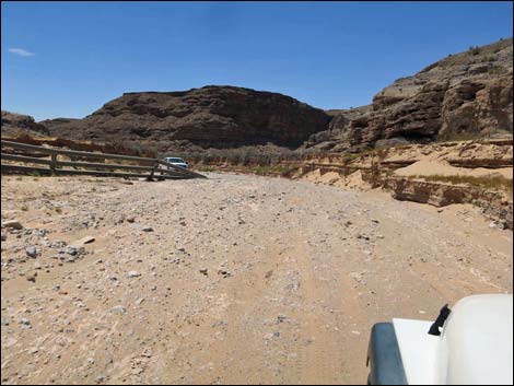
Getting to the Roadhead Fisherman Cove Road is located out in Gold Butte National Monument northeast of Lake Mead, about 1.5 hours from Las Vegas. From Las Vegas, drive out to Gold Butte National Monument. From Highway 170 at Gold Butte Road, drive south on Gold Butte Road for 14.3 miles. As Gold Butte Road crosses a saddle between "Big" Virgin Peak and Little Virgin Peak, grand views south across Gold Butte National Monument and southwest towards Lake Mead open up. Descending towards the desert flats below, at the base of Little Virgin Peak, road signs announce Fisherman Cove Road, which forks off to the right heading towards Lake Mead. |
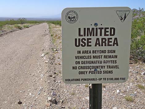 Limited Use Area (no driving off designated roads) sign (view SW) |
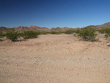
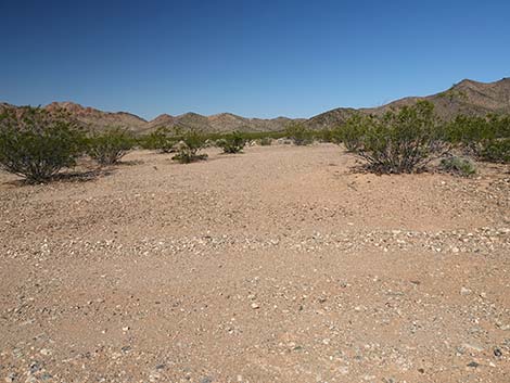
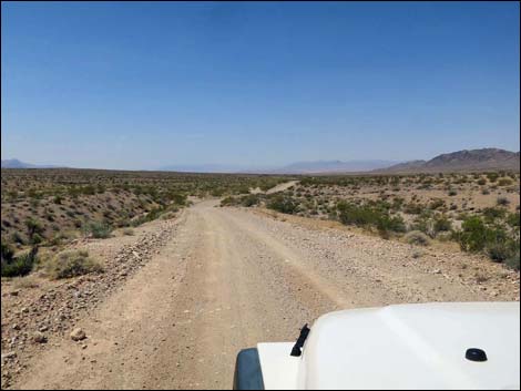
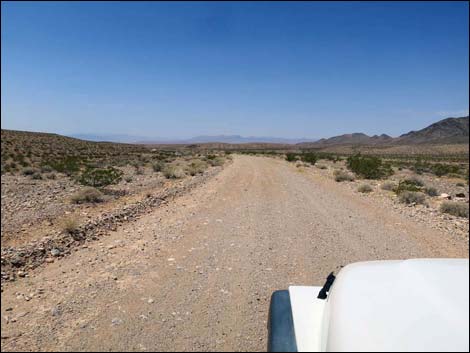
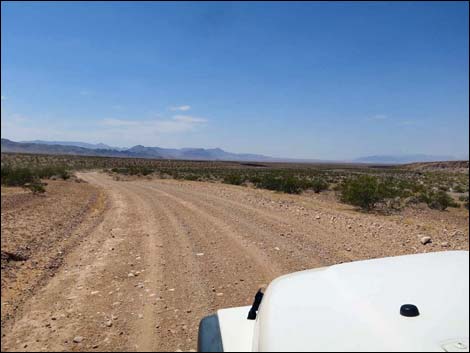
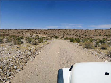
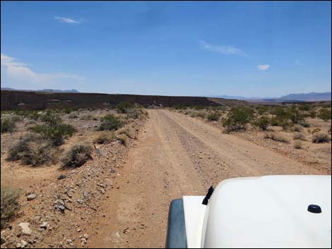
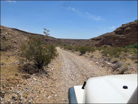
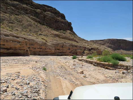
The Road From Gold Butte Road, Fisherman Cove Road (Table 1, Site 1653) forks off to the right and runs southwest towards the Virgin River and Lake Mead. This historic road actually crosses Gold Butte Road here and continues left (uphill to the northeast), but the northeast section is not maintained, and one part is passable only to ATVs and rock-hopper jeeps. Heading southwest towards the Virgin River, the road parallels Black Ridge on the right (anchored by Little Virgin Peak on the east end). These metamorphic mountains are ancient, about 1.6 billion-years-old, and are a target for rock hounds looking for garnets and other semi-precious stones. Black Ridge runs all the way west to the Virgin River. Continuing relatively flat and straight, the road eventually breaks the monotony by running over the top of a low hill at about 3.7 miles out. |
 Fisherman Cove Road at backside of directional sign (view SW) |
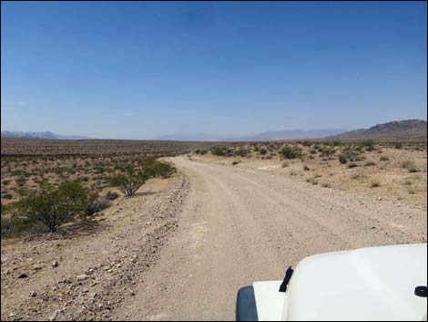
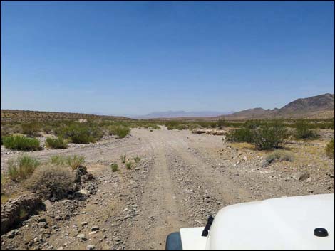
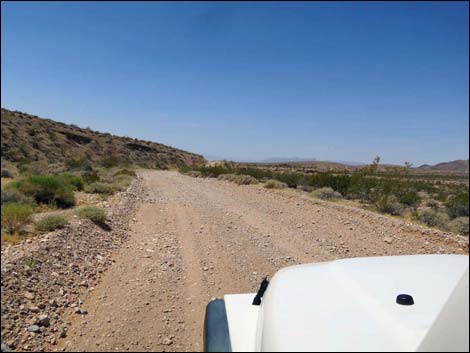
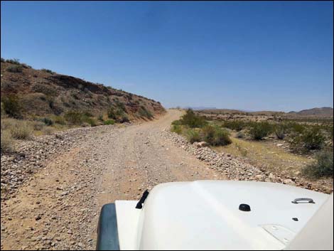
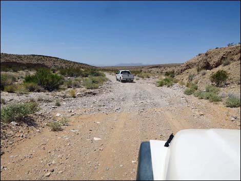
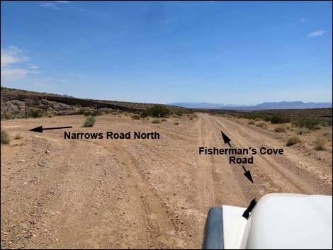
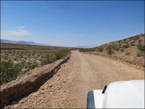
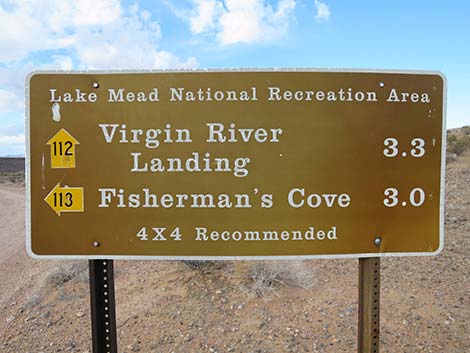
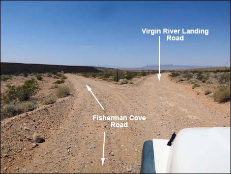
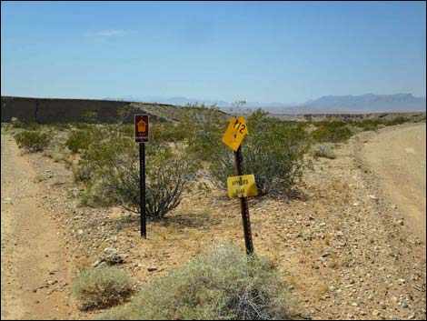
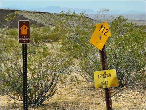
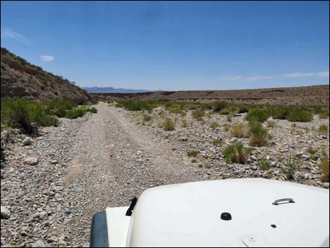
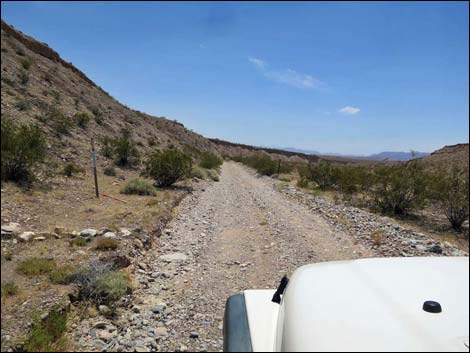
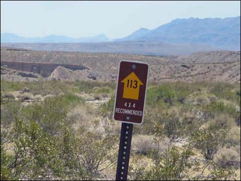
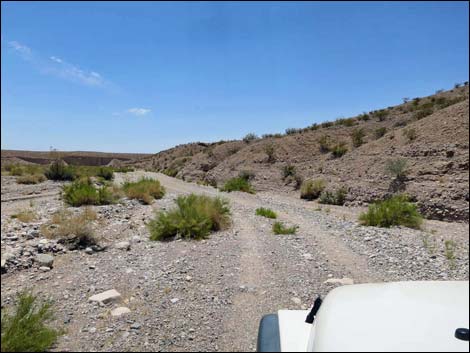
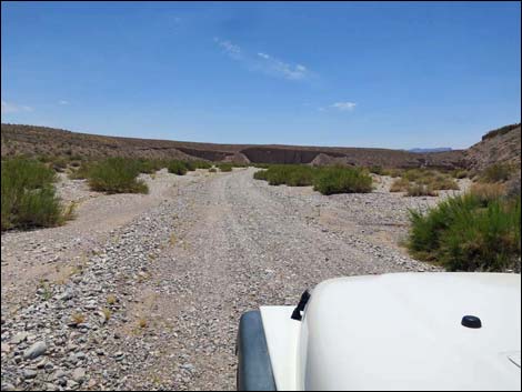
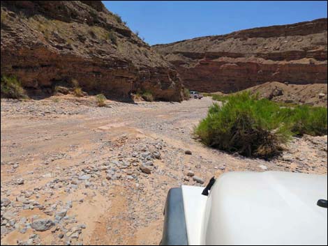
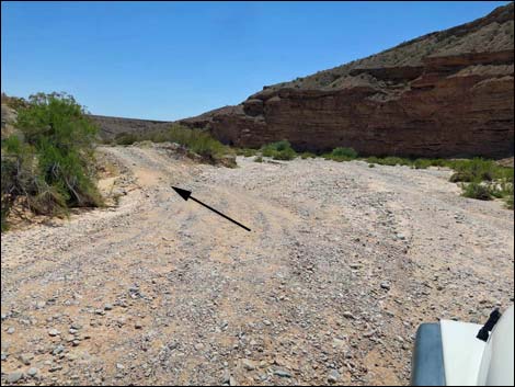
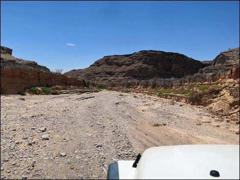
At 4.0 miles out, the road makes the first of several wash crossings, and then at about 4.2 miles, makes a long run through loose gravel in the wash bottom. At 5.1 miles out, the road crosses another gravel wash. Each of these wash crossings was washed out in 2016, and all could be a problem for sedans. At 6.1 miles out, Fisherman Cove Road passes a T-intersection with Narrows Road North. This road runs south and can be used to make a loop following Sand Wash Road or Mud Wash Road back to Gold Butte Road near Whitney Pocket. Beyond Narrows Road North, Fisherman Cove Road bends hard to the right to cross another wash, then bends back to the left to resume running down the valley. At 7.1 miles out, Fisherman Cove Road forks at a signed intersection. Virgin River Landing Road goes right at the fork, while Fisherman Cove Road continues to the left. Note that these are Lake Mead NRA signs, and Fisherman Cove Road is Road 113, but this area is outside the National Recreation Area. |
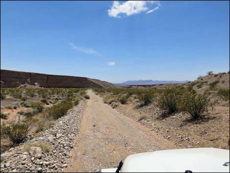
 Fisherman Cove Road (view SW) |
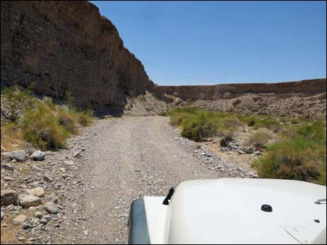
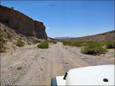
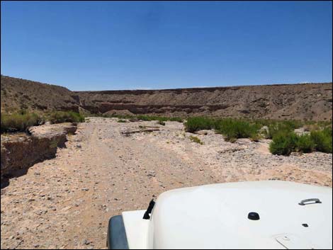
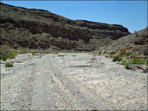
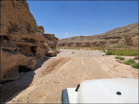
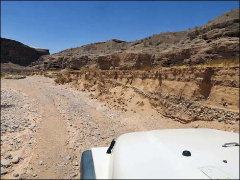
Staying left on "lower" Fisherman Cove Road, the road narrows in about 0.1 miles and drops down a rather steep hillside and begins to follow washes towards the Virgin River. In places, an old, graded road follows along the side of the wash, but in other places the two-track road just runs down the wash. In June 2016, the entire canyon had flash flooded and the road was washed away -- it was comforting to have 4WD. At 8.2 miles out, the road passes small signs on the left and right indicating that visitors are entering Lake Mead NRA. The road eventually descends below what once was lake level, evidenced by mud deposits on the edge of the wash that are now eroding away, and arrives at an old fenceline that is mostly washed away. This probably was the end of the legal road, but now people can drive the short remaining distance to the edge of the Virgin River (10.53 miles out). When ready, return over the same road. |
 |
 |
 Turn into campsite on the right (view NW) |
 Exit from campsite on the right (view N) |
 Fisherman Cove Road approaching a low hill (view SW) |
 Fisherman Cove Road atop a low hill (view SW) |
 Fisherman Cove Road (view SW) |
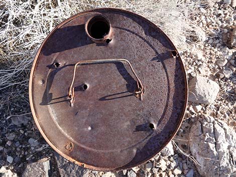
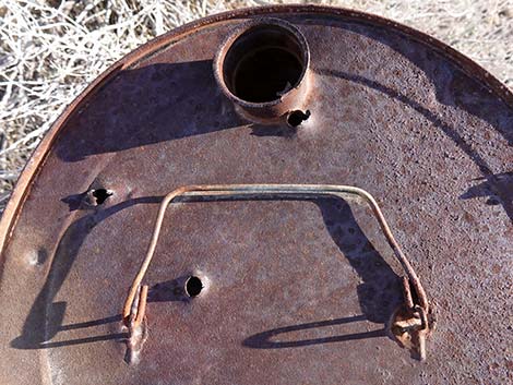
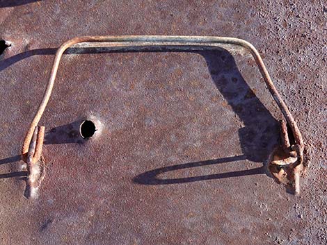
 Rusty history (oil can) along the road |
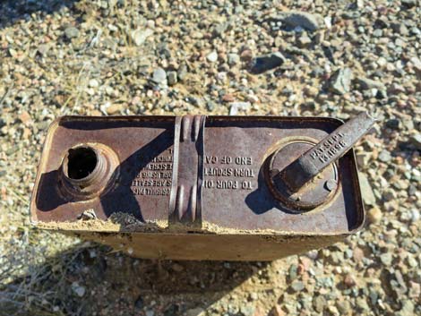 Rusty history (oil can) along the road |
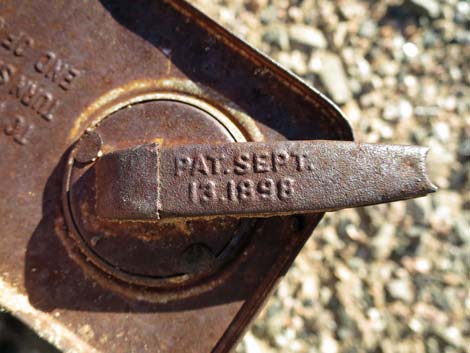 Oil can with patent September 13, 1898 |
 Fisherman Cove Road (view SW) |
 Entering a gravel wash (view SW) |
 A long stretch of gravel in the wash (view SW) |
 Fisherman Cove Road (view SW) |
 |
 |
 |
 Crossing another wash (view SW) |
 Nicely graded road (view SW) |
 T-intersection with Narrows Road North (view SW) |
 Dropping towards another wash (view SW) |
 Crossing a broad wash (view N) |
 Still crossing the broad wash (view N) |
 Fisherman Cove Road bend back left to run SW |
 Another historical item perhaps related to the Arrowhead Highway |
 Another historical item perhaps related to the Arrowhead Highway |
 Another historical item perhaps related to the Arrowhead Highway |
 Another historical item perhaps related to the Arrowhead Highway |
 Fisherman Cove Road (view SW) |
 Approaching the fork in the road (view SW) |
 Road signs before the fork (view SW) |
 Directional sign (view SW) |
 Approaching the fork (view SW) |
 Road signs at the fork (view SW) |
 Road signs at the fork (view SW) |
 Last of the nicely graded road (view SW) |
 Approaching the drop into the wash (view SW) |
 Graded road along the edge of the canyon (view SW) |
 Fisherman Cove Road (view SW) |
 Fisherman Cove Road running along alluvial cliffs (view SW) |
 Graded road along the edge of the canyon (view SW) |
 Lake Mead NRA boundary signs (both sides) |
 Lake Mead NRA boundary sign on the right (view W) |
 Graded road in the wash (view SW) |
 Road enters the wash again (view SW) |
 Washed out road in the wash (view SW) |
 Washed out road in the wash (view SW) |
 Washed out road in the wash (view SW) |
 |
 |
 Graded road exits the wash (view SW) |
 Graded road along the wash (view SW) |
 Washed out road runs down wash (view SW) |
 Entering another washed out section of road (view SW) |
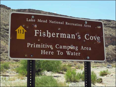 Sign announces primitive camping area (view SW) |
 Washed out road in the wash (view SW) |
 Washed out road runs down wash (view SW) |
 Washed out road runs down wash (view SW) |
 Washed out road in the wash (view SW) |
 Note high-water lake deposits along edge of wash (view SW) |
 Washed out fence probably marks end of legal road (view SW) |
 Wash continues beyond fence (view SW) |
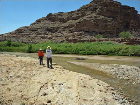 Edge of Virgin River |
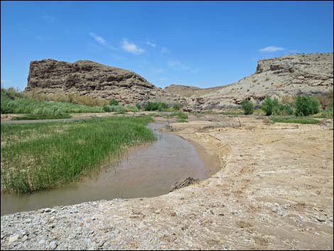 Virgin River |
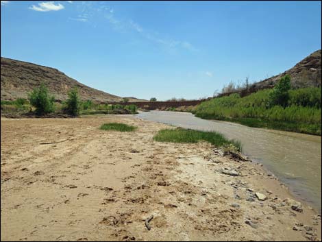 Virgin River |
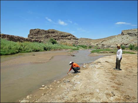 Visitors at the Virgin River |
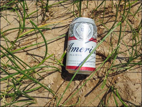 Don't be "that guy" throwing your America Beer in the river |
 More to come ... |
Table 1. Highway Coordinates Based on GPS Data (NAD27; UTM Zone 11S). Download Highway GPS Waypoints (*.gpx) file.
| Wpt. | Location | UTM Easting | UTM Northing | Elevation (ft) | Point-to-Point Distance (mi) | Cumulative Distance (mi) | Verified |
|---|---|---|---|---|---|---|---|
| 1653 | Gold Butte Rd at Fisherman Cove Rd | 749532 | 4053458 | 2692 | 0.00 | 00.00 | GPS |
| 1762 | Fisherman Cove Rd at Narrows Road North | 744074 | 4045862 | 1897 | 6.05 | 06.05 | GPS |
| 1654 | Fisherman Cove Rd at Virgin River Landing Road | 743014 | 4044648 | 1621 | 1.07 | 07.12 | GPS |
| 1764 | Fisherman Cove Road End | 739608 | 4041323 | 1363 | 3.41 | 10.53 | GPS |
Happy Hiking! All distances, elevations, and other facts are approximate.
![]() ; Last updated 240326
; Last updated 240326
| Backroads Around Las Vegas | Hiking Around Las Vegas | Glossary | Copyright, Conditions, Disclaimer | Home |