Backroads Around Las Vegas
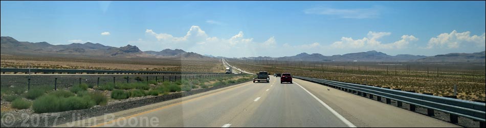
 Highway 170 merging onto Interstate 15 |
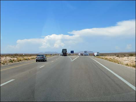
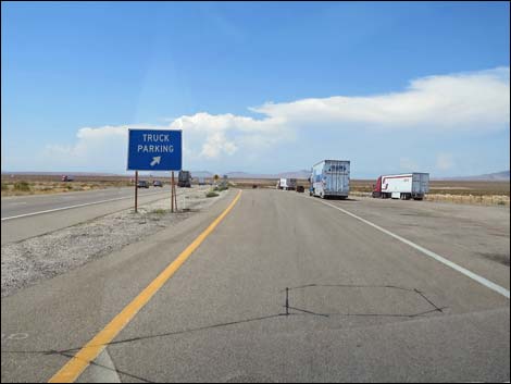
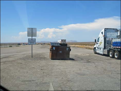
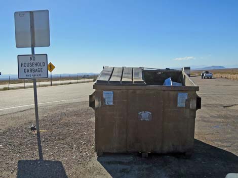
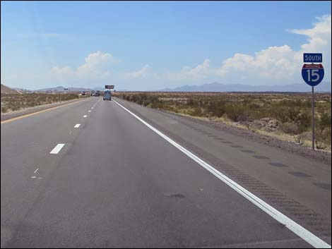
Overview Interstate 15 southbound, as described here, runs south from Highway 170 (Bunkerville Road) to downtown Las Vegas (intersection of I-15 and Hwy 95; the downtown Las Vegas Spaghetti Bowl). The interstate is nothing special, just another interstate highway, but it traverses big desert with grand views and provides access to wild and amazing outdoor recreation. There are two truck parking areas with dumpsters where Gold Butte campers can stop and throw away trash without having to take it all the way home. Link to map. |
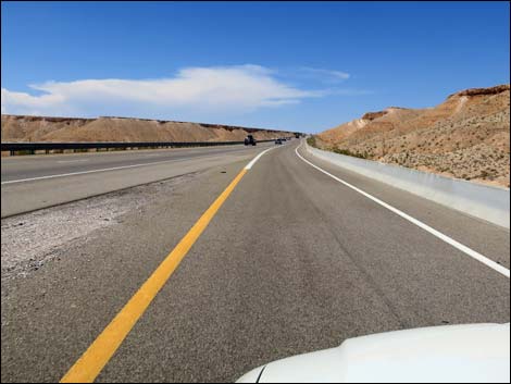
 Interstate 15 climbing onto Mormon Mesa |
Watch Out Other than the standard warnings about hiking in the desert, ... this is a safe road, except of course, for drunks and whack-nuts doing stupid things at 80 mph. While out, please respect the land and the other people out there, and try to Leave No Trace of your passage. Also, this is a remote area, so be sure to bring the 10 Essentials. |
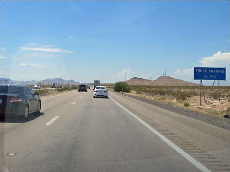
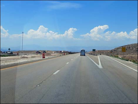
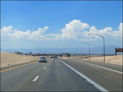
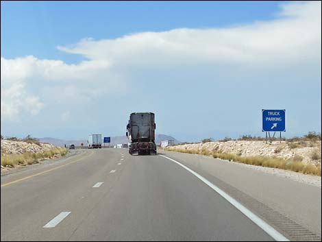 Approaching Truck Parking area |
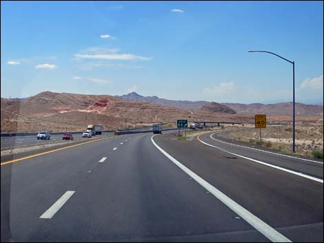
The Road From Highway 170 (Table 1, Site 0684), Interstate 15 runs northwest climbing steeply to the top of Mormon Mesa. Just atop the mesa, there is a truck parking area with two dumpsters where campers from Gold Butte National Monument can stop and drop off their campsite garbage. Continuing west, the highway crosses Mormon Mesa. At the far west side of the mesa, there is another truck parking area with a second chance to use a dumpster. Descending steeply off the west side of Mormon Mesa, the interstate heads towards the Muddy River crossing. Shortly before getting to the Muddy, Exit 91 leads to the first gas station since Gold Butte. This is a good place to stop for gas, as well as food and a clean restroom. This exit also provides access to Moapa National Wildlife Refuge. |
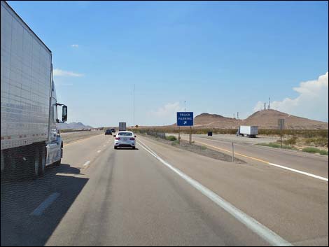
 Exit to Truck Parking |
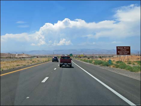
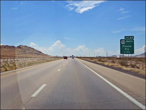
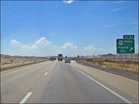
Continuing, the interstate runs southwest climbing out of the Muddy River Valley and enters the Moapa River Indian Reservation. At Exit 75, drivers can get off the interstate to buy gas, firewood, smokes, drinks, and even do a little gambling at the Moapa Tribal Plaza. Drivers can also continue east from this exit to Valley of Fire State Park and Lake Mead National Recreation Area. Beyond the Tribal Plaza, the interstate continues southwest across the open desert. Climbing over a low pass, the highway drops in to Dry Lake Valley. At the far west end of Dry Lake Valley, Exit 64 to Highway 93 leads to the eastern Nevada cities of Pioche and Ely, as well as a big truck stop with gas and food. This is also the new industrial expansion area for Las Vegas, and drivers will see several gas-fired power plants, manufacturing facilities, and a strip mine for limestone (to produce cement). Beyond Highway 93, the interstate climbs over Apex Summit and drops into the Las Vegas Valley, this lights of which can be seen from not far past the summit. |
 Truck Parking area |
 First of two dumpsters at Truck Parking area |
 The sign does not say "no camping trash" |
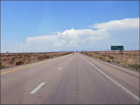 Glendale (gas and toilet) 18 miles; Las Vegas 66 miles |
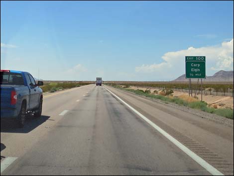 Exit 100 too Carp and Elgin 1/2 miles ahead |
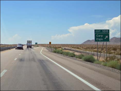 Approaching Exit 100 too Carp and Elgin |
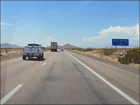 Second Truck Parking on Mormon Mesa 1 mile ahead |
 Second Truck Parking on Mormon Mesa 1/2 mile ahead |
 Exit to second Truck Parking on Mormon Mesa |
 Truck Parking on Mormon Mesa with dumpster |
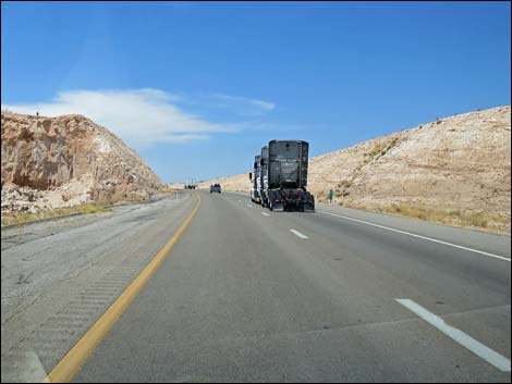
 Continuing across Mormon Mesa |
 Caution steep downhill of Mormon Mesa |
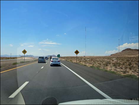
 Exit 93 to Overton and Logandale 1 mile ahead |
 Descending steeply off the west edge of Mormon Mesa |
 Approaching exit to Lost City Museum and others |
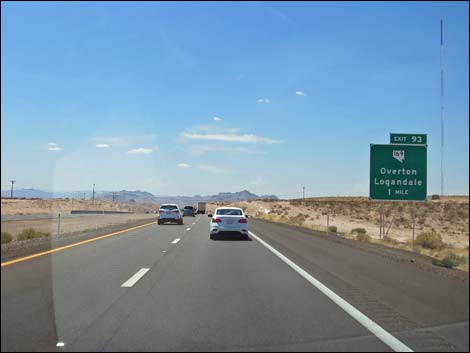
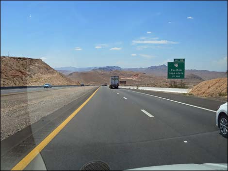
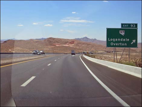 Approaching Exit 93 to Logandale and Overton |
 Exit 93 to Logandale and Overton |
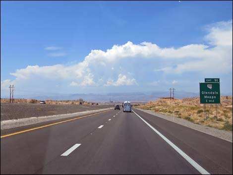 Exit 91 to Glendale and Moapa 1 mile ahead |
 Exit ahead to Moapa River Indian Reservation |
 Exit 91 to Glendale and Moapa ahead |
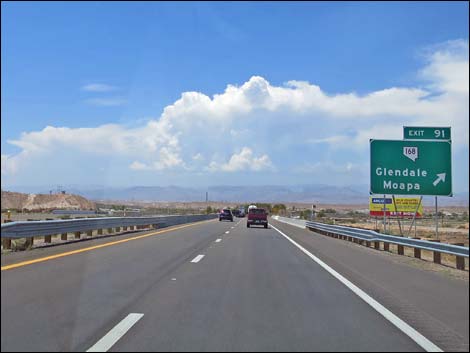
 Approaching Exit 91 to Glendale and Moapa |
 Exit 91 to Glendale (gas, food, and clean restroom) and Moapa |
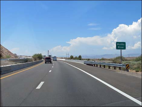 Interstate 15 crossing Muddy River bridge |
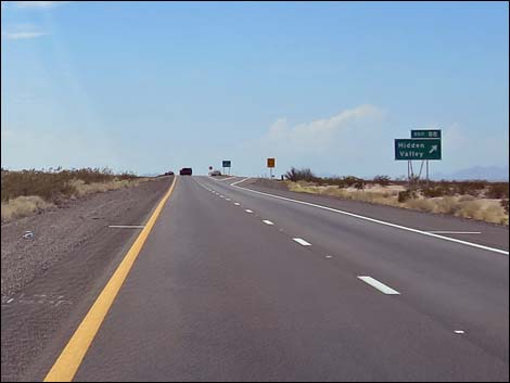 Exit 88 to Hidden Valley ahead |
 Exit 88 to Hidden Valley |
 Mile 88 exit to truck parking without dumpsters |
 Mile 88 truck parking without dumpsters |
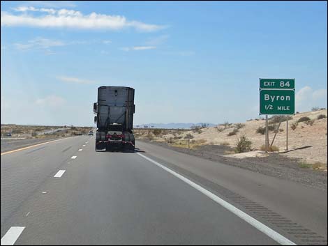 Exit 84 to Byron (no facilities) 1/2 miles ahead |
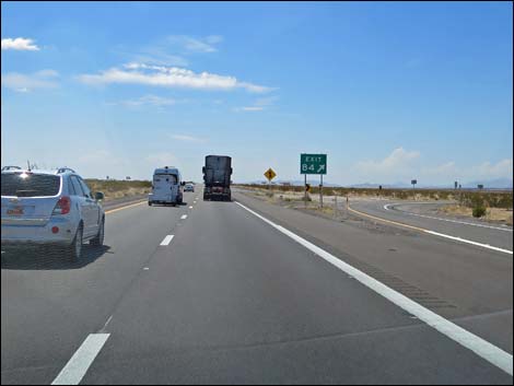
 Approaching Exit 84 to Byron (no facilities) |
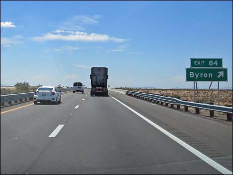
 Exit 84 to Byron (no facilities) |
 Exit 84 to Byron (no facilities) |
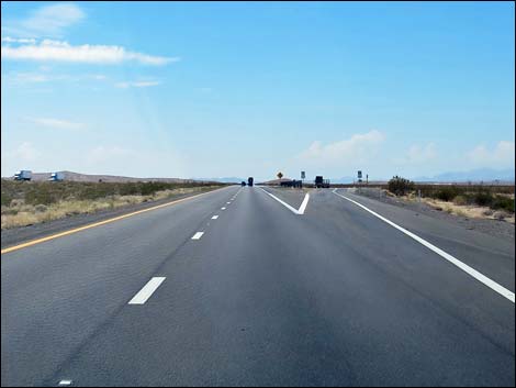
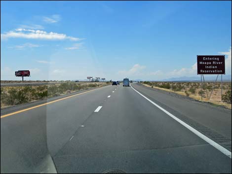 Interstate 15 entering Moapa River Indian Reservation |
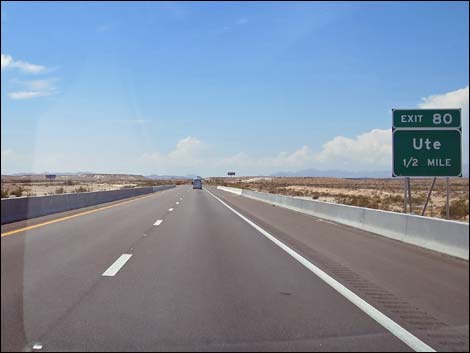 Exit 80 to Ute (no facilities) 1/2 miles ahead |
 Approaching Exit 80 to Ute (no facilities) |
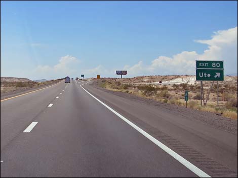
 Exit 80 to Ute (no facilities) |
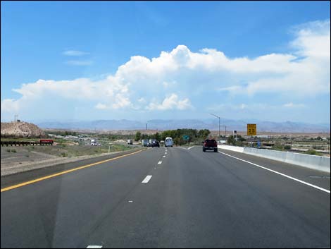
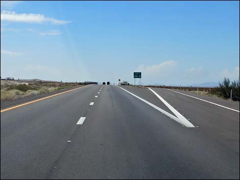
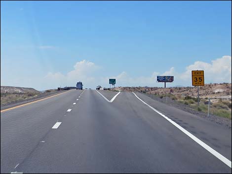
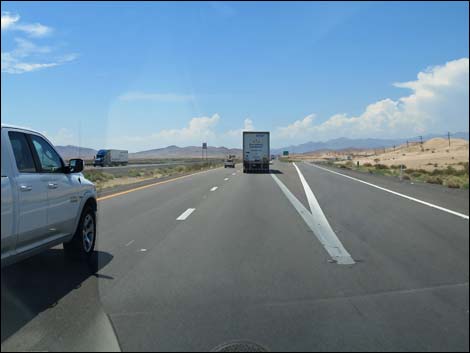
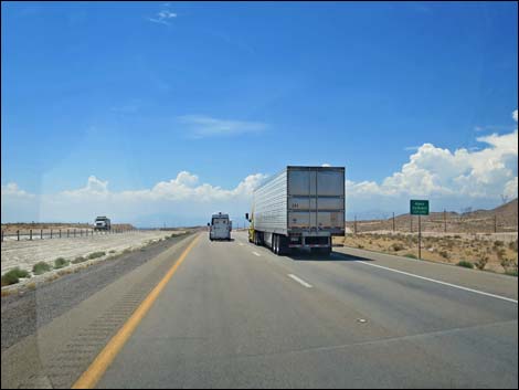
 Interstate 15 southbound across big, open desert |
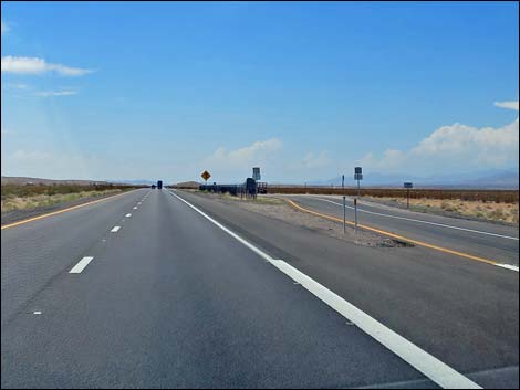
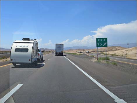
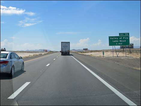 Exit 75 to Valley of Fire and Lake Mead 1 miles ahead |
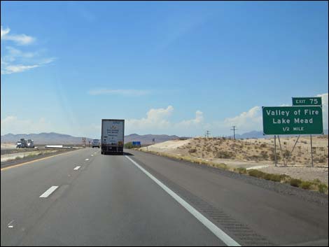 Exit 75 to Valley of Fire and Lake Mead 1/2 miles ahead |
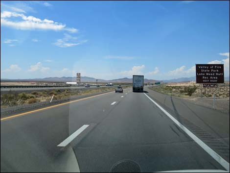 Exit ahead to Valley of Fire and Lake Mead |
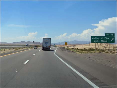 Exit 75 to Valley of Fire, Lake Mead, and Tribal Plaza |
 Exit 75 to Valley of Fire, Lake Mead, and Tribal Plaza |
 Exit 75 to Valley of Fire, Lake Mead, and Tribal Plaza |
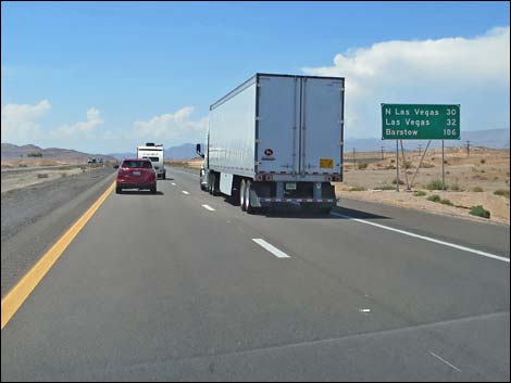 Getting close to Las Vegas (32 miles) |
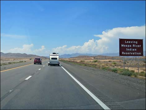 Interstate 15 exiting Moapa River Indian Reservation |
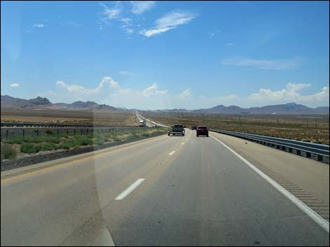 Interstate 15 southbound across big, open desert |
 Exit 64 to Highway 93 northbound, Pioche, and Ely 1 mile ahead |
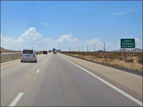 Exit ahead to Apex and Caliente |
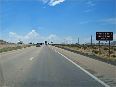 Exit ahead to Great Basin National Park |
 Approaching Exit 64 to Highway 93 northbound, Pioche, and Ely |
 Exit 64 to Highway 93 northbound |
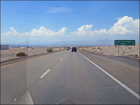
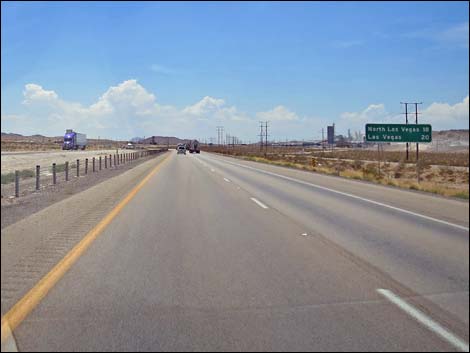 Getting closer to Las Vegas (20 miles) |
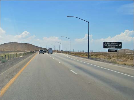 Check Station: All commercial vehicles exit (usually closed) |
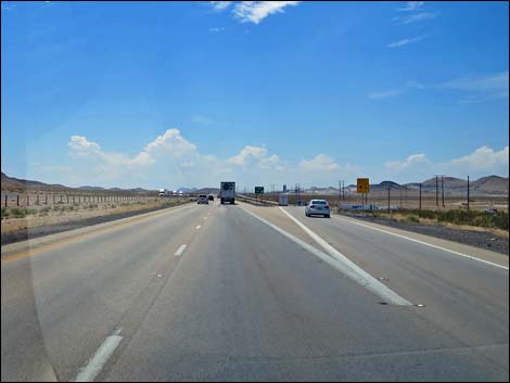
 Interstate 15 southbound at Apex Summit |
 First distant view of the Las Vegas Valley |
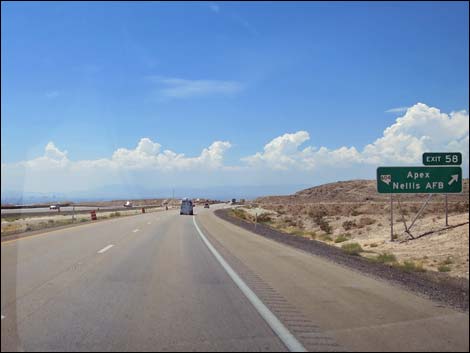 Approaching Exit 58 to Apex and Nellis AFB |
 Exit 58 to Apex and Nellis AFB |
 Getting closer to Las Vegas (14 miles) |
 Near Nellis AFB, watch for low-flying aircraft |
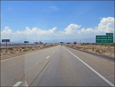 Exit 54 to Speedway and Hollywood Blvds. (Nellis AFB) 1/2 mile |
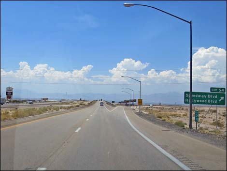 Exit 54 to Speedway and Hollywood Blvds. (Nellis AFB) |
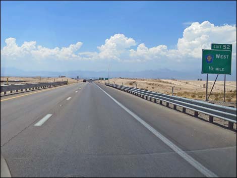 Exit 52 to Highway 215 westbound 1/2 miles ahead |
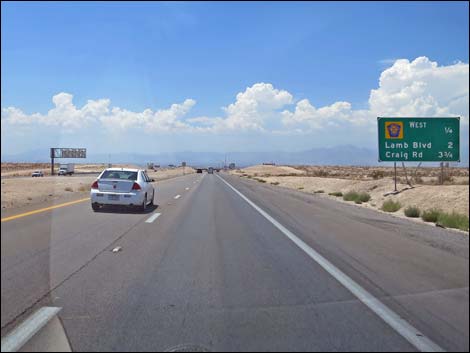 Exit 52 to Highway 215 westbound 1/4 miles ahead |
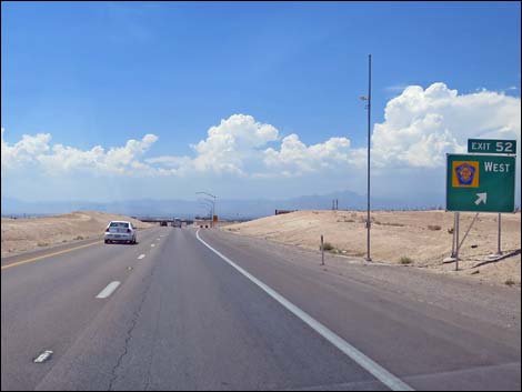 Approaching Exit 52 to Highway 215 westbound |
 Exit 52 to Highway 215 westbound |
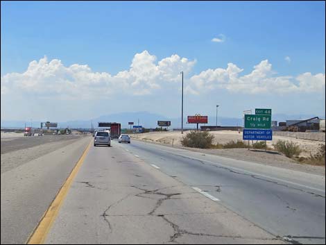 Exit 48 to Craig Road 1/2 miles ahead |
 Approaching Exit 48 to Craig Road |
 Exit 48 to Craig Road |
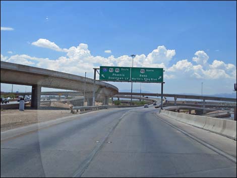
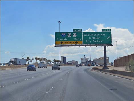 Exit 42 ahead to Hwy 95 (Phoenix and Reno) |
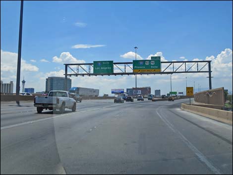 I-15 at Hwy 95 (Downtown Las Vegas Spaghetti Bowl; view S) |
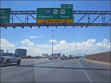 Exit 42 to Hwy 95 (Phoenix and Reno) |
 Exit 42 to Hwy 95 (Phoenix and Reno) |
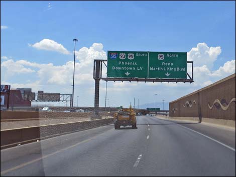
 Exit 42 to Hwy 95 (Phoenix and Reno) |
Table 1. Highway Coordinates Based on GPS Data (NAD27; UTM Zone 11S). Download Highway GPS Waypoints (*.gpx) file.
| Wpt. | Location | Latitude (N) | Longitude (W) | Elevation (ft) | Point-to-Point Distance (mi) | Cumulative Distance (mi) |
|---|---|---|---|---|---|---|
| 0684 | I-15 at Hwy 170 | 36.77063 | 114.23374 | 1,804 | 00.00 | 00.00 |
| 1638 | I-15 at Hwy 169 (Overton) | 36.67075 | 114.52082 | 1,759 | 18.50 | 18.50 |
| 0879 | I-15 at Hwy 168 (Glendale) | 36.66065 | 114.57337 | 1,542 | 03.00 | 21.50 |
| 1027 | I-15 at Valley of Fire Rd | 36.50222 | 114.76074 | 2,017 | 15.20 | 36.70 |
| 0674 | I-15 at Hwy 93 (Apex) | 36.38089 | 114.89084 | 2,215 | 11.40 | 48.10 |
| 1637 | I-15 at Speedway Blvd | 36.28269 | 115.02537 | 2,051 | 10.70 | 58.80 |
| 0801 | I-15 at Lake Mead Blvd | 36.19585 | 115.13784 | 1,950 | 08.90 | 67.70 |
| 0800 | I-15 at Hwy 93-95 | 36.17427 | 115.15402 | 2,040 | 01.80 | 69.50 |
Happy Hiking! All distances, elevations, and other facts are approximate.
![]() ; Last updated 240331
; Last updated 240331
| Backroads | Hiking Around Las Vegas | Glossary | Copyright, Conditions, Disclaimer | Home |