Day 1, June 29, 2010
Day 1: We left Las Vegas and drove about 5 hours to the BLM Visitor Center in Escalante, UT. From there we continued for another hour to the trailhead, where temperatures were about 100 degrees. We couldn't wait for the rest of the crew in the blazing sun, so we started down the trail. We stopped 6.5 miles out and camped on a rocky bench above the creek.
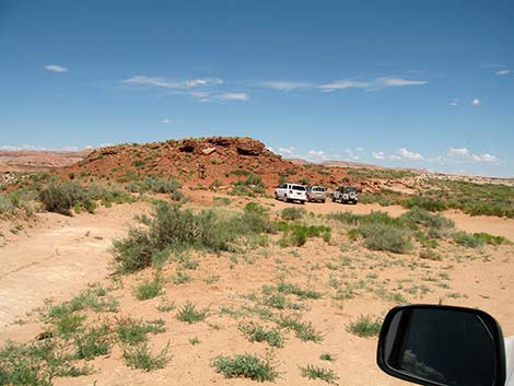 Red Well Trailhead |
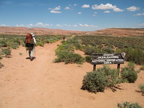 A few minutes out, we enter Glen Canyon NRA |
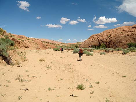 Starting down a hot, dry wash |
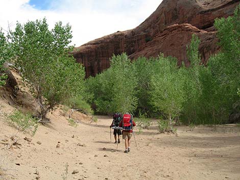 Getting to trees and shade |
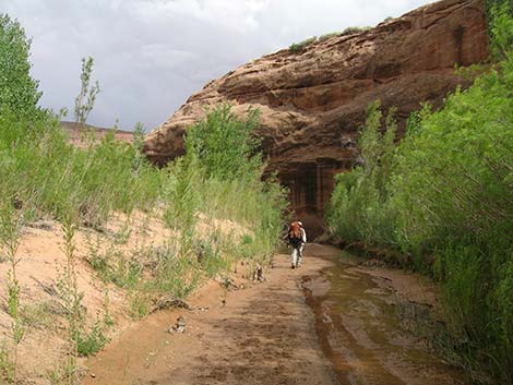 Starting to get flowing water |
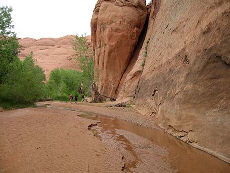 Canyon walls begin to deepen |
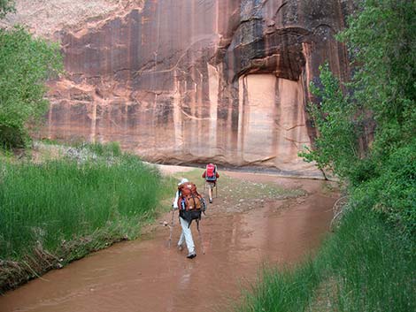 Starting to walk in the water |
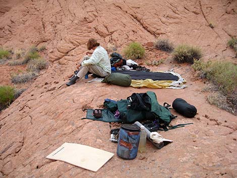 Low-impact (LNT) campsite on a rocky bench |
| Coyote Gulch | Postcards | Copyright, Conditions, Disclaimer | Jim Boone's Home Page |