
(Sloan Canyon Trailhead) and BLM 101 Trailhead
Hiking Around Las Vegas, Sloan Canyon NCA

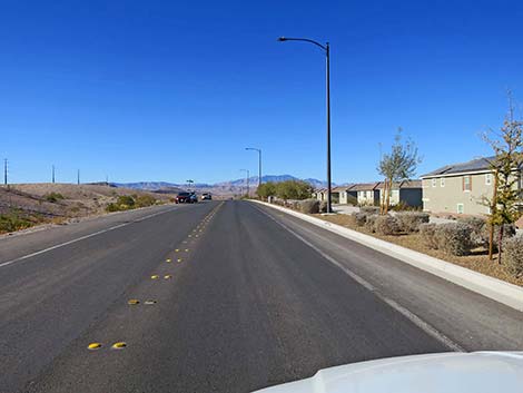 Democracy Drive approaching Nawghaw Poa Road (view W) |
The Petroglyph Canyon Trailhead (AKA: Sloan Canyon Trailhead) is located on the north edge of Sloan Canyon National Conservation Area (NCA), on a low desert hill overlooking the Henderson neighborhood of Inspirada. The BLM 101 Trail also has a trailhead here. Nawghaw Poa Road is closed during construction of the new visitor center until late 2026. Hikers must now walk in from Democracy Drive. See Closure Notice (PDF). Sloan Canyon Trailhead provides access to the Sloan Canyon Petroglyph Route and other hikes on the north side of the North McCullough Wilderness Area. There are no toilets at this trailhead. The nearest public toilets are available at Aventura and Montagna parks. Link to Trailhead Map. |
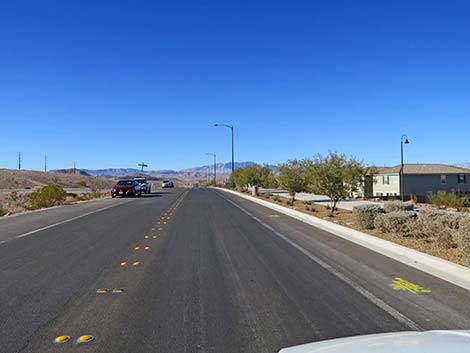 Democracy Drive approaching Nawghaw Poa Road (view W) |
Getting to the Trailhead From town, drive south on Interstate-15 about 15 miles to St. Rose Parkway (Exit 27). Exit onto St. Rose Parkway eastbound and drive east to Las Vegas Blvd (the first traffic light). Turn right onto Las Vegas Blvd and drive south to Volunteer Blvd (again, the first traffic light). Drive east 2 miles on Volunteer Blvd to Via Inspirada. Turn right onto Via Inspirada and drive south 1.4 miles to a round-about left where the road becomes Bicentennial Parkway. [Jan 2025: this round-about is under re-construction] Continue east on Bicentennial Parkway 0.6 miles to a stop sign at Via Firenze. Turn right onto Via Firenze and drive south 0.6 miles past Adventura Park to a T-intersection with Savella Ave. Turn left onto Savella Ave and drive east 0.1 miles to Via Firenze (yes, Via Firenze; it splits and runs one-way around the park). Turn right onto Via Firenze and drive south 0.6 miles to Democracy Drive. |
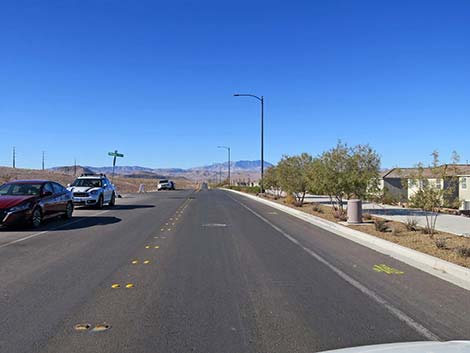 Democracy Drive at Nawghaw Poa Road (view W) |
Turn right onto Democracy Drive and drive west 0.2 miles to Nawghaw Poa Road (Table 1, Site 1192). Park here, this is the trailhead. Alternatively, a simpler route provides more direct access from Las Vegas Blvd, but it goes through urban construction zones and may be unreliable. Continue south on Las Vegas Blvd 2.0 miles to Via Inspirada Access Road. Turn left onto Via Inspirada Access Road, which turn into Via Inspirada. At 0.8 miles out, turn right onto Democracy Drive. Continue south, then east, on Democracy Drive for 2.0 miles to Nawghaw Poa Road (Site 1192). Park here, this is the trailhead. |
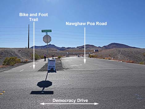 Nawghaw Poa Road (view S from Democracy Drive) |
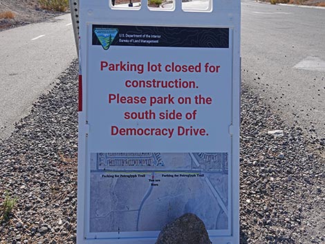 Sign: Regular trailhead is closed; park here instead (view S) |
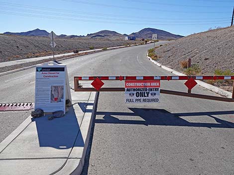 Yes, Nawghaw Poa Road really is closed (view S) |
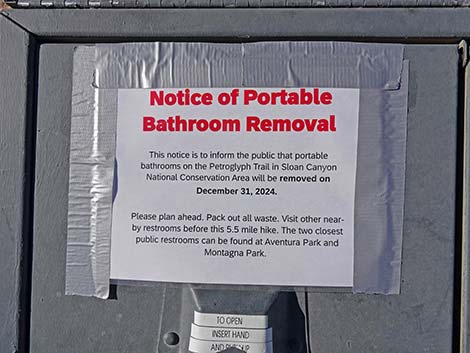 Sign from up the trail: no toilets here |
Approaching Petroglyph Canyon Trailhead eastbound on Democracy Drive
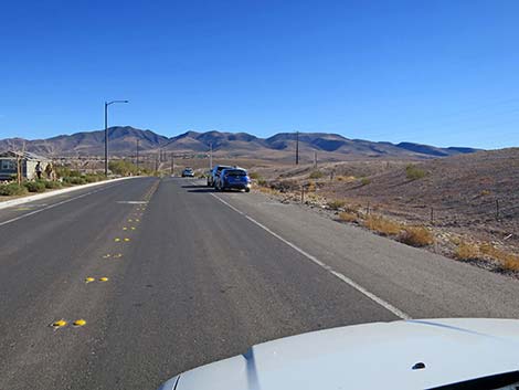 Democracy Drive approaching Nawghaw Poa Road (view E) |
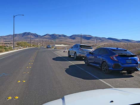 Democracy Drive at Nawghaw Poa Road (view E) |
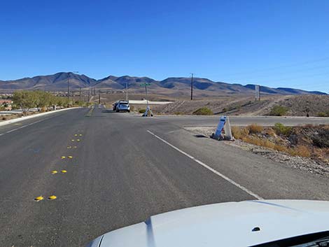 Democracy Drive approaching Nawghaw Poa Road (view E) |
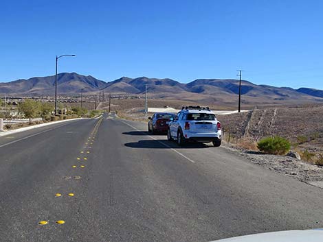 Democracy Drive east of Nawghaw Poa Road (view E) |
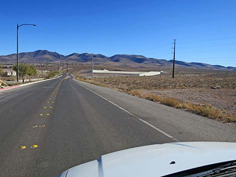 Democracy Drive east of Nawghaw Poa Road (view E) |
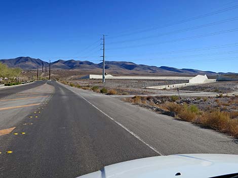 Democracy Drive east of Nawghaw Poa Road (view E) |
Table 1. Highway Coordinates based on GPS data (NAD27; UTM Zone 11S). Download Highway GPS Waypoints (*.gpx) file.
| Site | Location | UTM Easting | UTM Northing | Latitude (N) | Longitude (W) | Elevation (ft) |
|---|---|---|---|---|---|---|
| 1192 | Nawghaw Poa Rd Start | 669355 | 3977157 | 35.92589 | 115.12285 | 2,846 |
Happy Hiking! All distances, elevations, and other facts are approximate.
![]() ; Last updated 250106
; Last updated 250106
| Sloan Canyon NCA | Hiking Around Las Vegas | Glossary | Copyright, Conditions, Disclaimer | Home |