Hiking Around Las Vegas, Red Rock Canyon National Conservation Area
 Trail goes through gate in the fence (view NE) |
Overview A number of nice use-trails have become established in the Red Rock Canyon Campground Area. The Campground Knoll Loop (4.1 miles round trip) runs east from the Public Trailhead to the base of Gun Range Ridge, then turns south and makes a long run to the top of Campground Knoll, requiring a bit of cross country hiking at the end. From the summit, more cross country hiking leads to an old road that loops back to the family campground. Unfortunately, the easiest walk back to the public trailhead is via Moenkopi Road. After hiking this nice loop, consider hiking one of the other short or long loops in the campground area. This hike is nice because it is close to town and not on the Scenic Loop Drive. This makes it free, a quick little get away from town, and it minimizes time driving to and from the trailhead. Link to trail map or elevation profile of the route. |
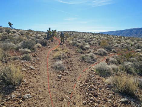
 Trail junction; route stays right (view NE) |
Watch Out Other than the standard warnings about hiking in the desert, ...this hike is about as safe as hiking in the desert can be, but watch out for dog poop near the trailhead. There is some cross country hiking, but the terrain is fairly easy. There is no need to down climb the cliffs encountered after leaving the summit -- just hike north past the cliffs before turning downhill. While hiking, please respect the land and the other people out there, and please try to Leave No Trace of your passage. Also, even though this hike is short and close to civilization, be sure to bring what you need of the 10 Essentials. |
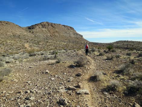
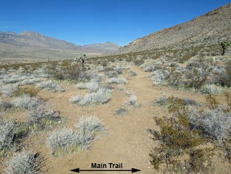
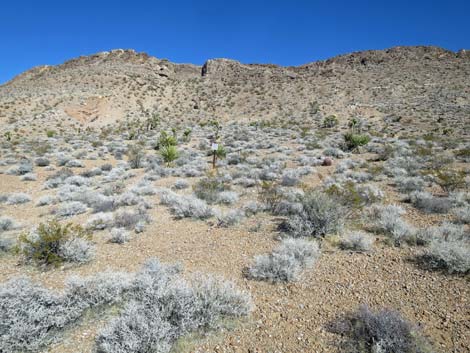
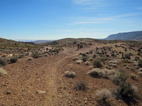
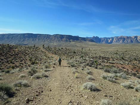
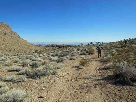
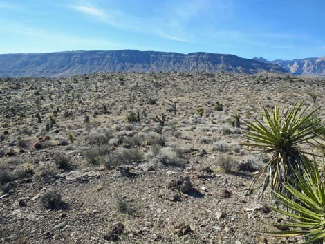
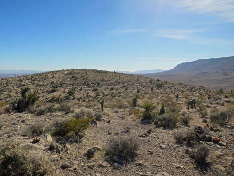
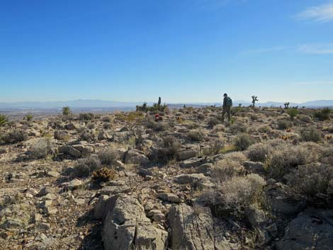
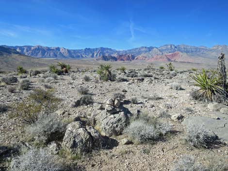
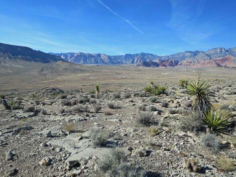
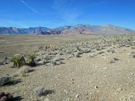
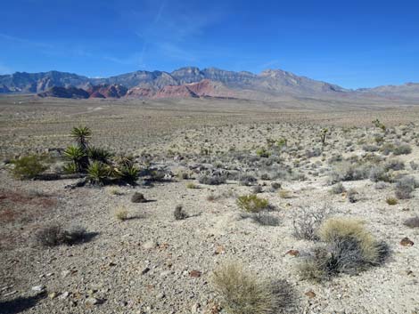
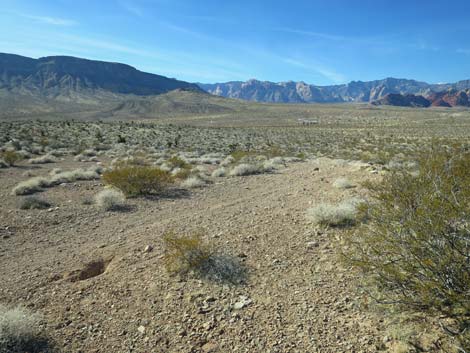
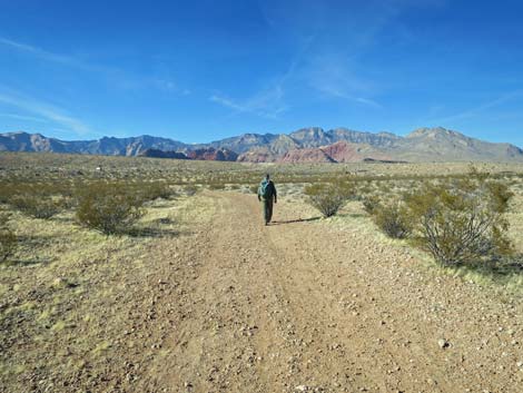
 Big, open country with gentle slopes (view SE) |
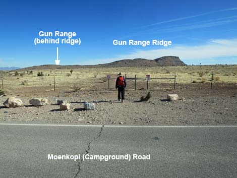
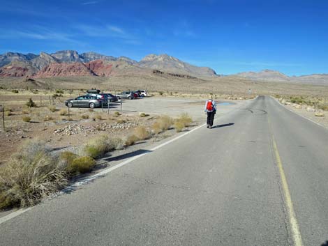
Getting to the Trailhead This hike is located in Red Rock Canyon National Conservation Area, about 30 minutes from town, but not on the Scenic Loop Road. Drive out West Charleston Blvd to Moenkopi Road and turn left towards Red Rock Campground. For non-campers, drive south on Moenkopi Road about 0.3 miles to Moenkopi Road Trailhead (Moenkopi Road Recreation Site parking area). Park here; this is the trailhead. For campers, continue south into the campground, park at your campsite, then walk out into the desert and pick up the trails. |
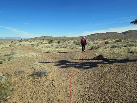
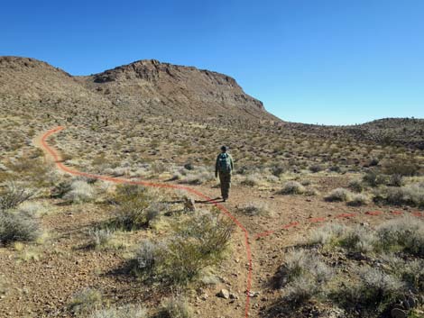
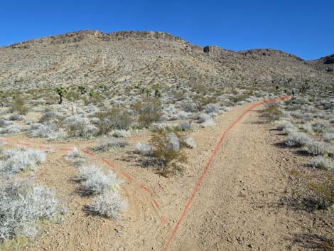
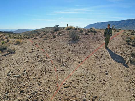
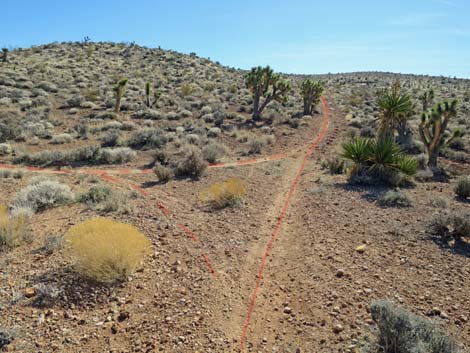
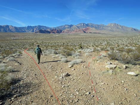
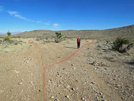 Trail forks; route stays left (view NE) |
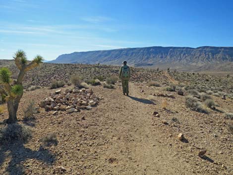
The Hike From the Moenkopi Road Trailhead (Table 1, Waypoint 01), the Campground Knoll Loop starts by running east on the Campground Flats Trail (Wpts. 18, 19, and 21) to a T-intersection (Wpt. 25). At the T-intersection (Wpt. 25), the Campground Knoll Loop turns right and heads south on the Gun Range Ridge Trail, following that trail to a T-intersection (Wpt. 26) with the Campground Knoll Trail at a point northeast of the Group Campground. Alternatively, campers can make a shorter loop by walking off the end of the group campground road and up the old road to the same T-intersection (Wpt. 26). In this area, the vegetation is diverse, but typical Mojave Desert Scrub habitat type with lots of creosote bush and white bursage, plus Nevada ephedra, spiny menodora, desert globemallow, littleleaf ratany, and galleta grass. Also watch for beavertail cactus, matted cholla, pencil cholla, and silver cholla. |
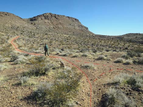
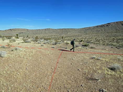 T-intersection; route turns right (view NE) |
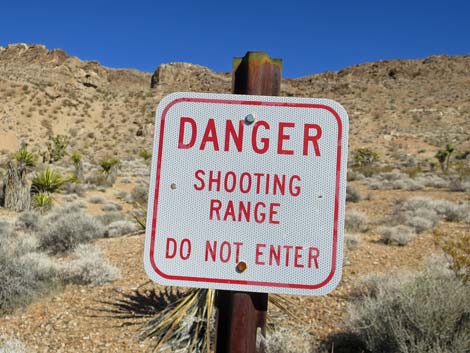
From the T-intersection atop a little highpoint (Wpt. 26), the Campground Knoll Loop continues east on the old road, passing a side trail to the left (Wpt. 27) and continuing up towards the base of Gun Range Ridge. The trail sweeps around below the Gun Range Ridge to head south. Note that there really is a gun range on the other side of the ridge and that the ridge is the backstop for the bullets. Don't climb up the ridge to see for yourself! Signs along the trail warn hikers away. Also understand that the crest of the ridge is less than 1 mile from the main shooting area, that .22 rifle bullets can travel about 1.2 miles, and that typical AR-15 rounds can travel 3 miles. Continuing, the old road runs south and up onto the crest of a ridge where a bike trail forks to the left. Staying right on the Campground Knoll Trail, shortly the trail passes a huge cairn (Wpt 28) that was constructed for some unknown reason. Perhaps it was to memorialize the great views in all directions, but it has now been torn down and the stones lie in a loose pile. |
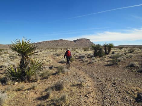
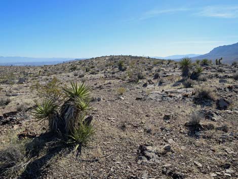
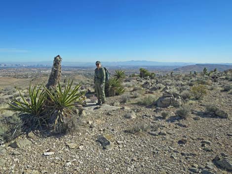
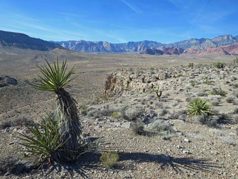
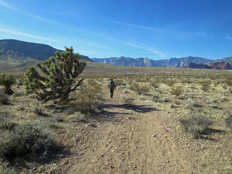
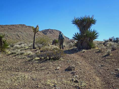 This big Mojave Yucca is a good landmark (view SE) |
Beyond the cairn, the old road continues southwest over rolling terrain. The Campground Knoll Trail bends to the south and descends rather steeply into a saddle where it continues straight at a T-intersection. Here, a bike trail branches to the left (connects with the previous left trail). Climbing out of the saddle at more moderate grades, the Campground Knoll Trail stays left at a fork where yet another bike trail angles off to the right. The right fork could be used to shortcut the trail, bypass the summit, and return more directly to the family campground. Past the fork, the Campground Knoll Trail climbs at moderate grades across the hillside and passes a nice cactus garden before climbing back onto the top of a ridge. The old road now contours around onto the east side of ridge and suddenly ends (Wpt. 29) for no apparent reason, although a foot trail continues straight. For bikes, however, a better trail turns left at the end of the road before turning right to continue south and eventually connect with the previous bike trails to the left. |
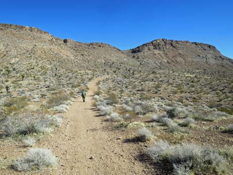
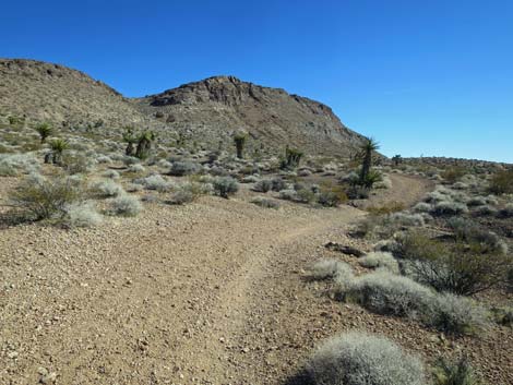
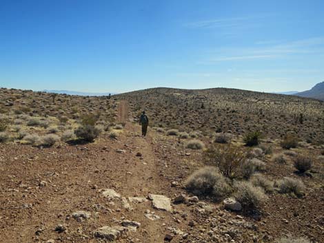
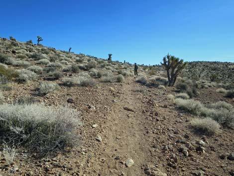
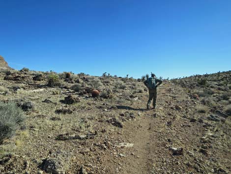
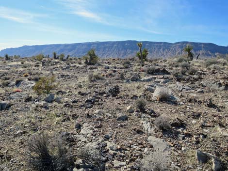
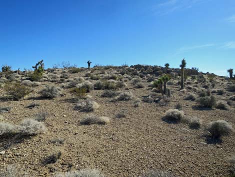
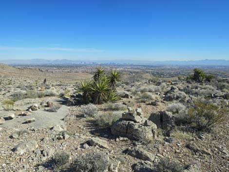
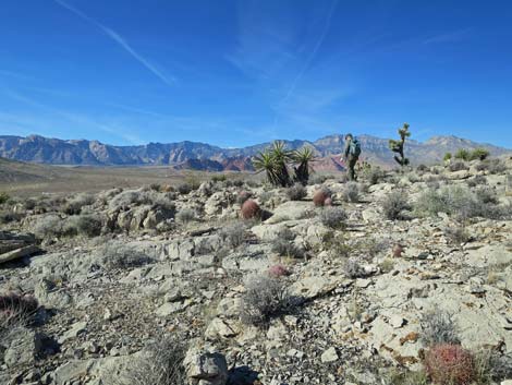
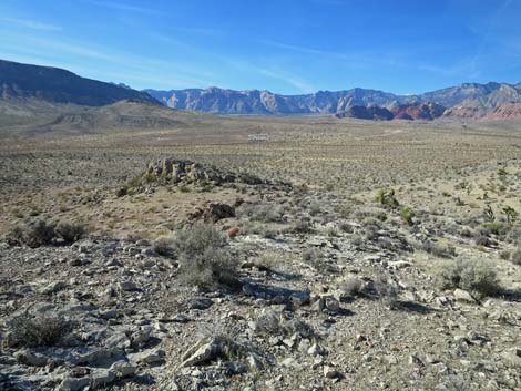
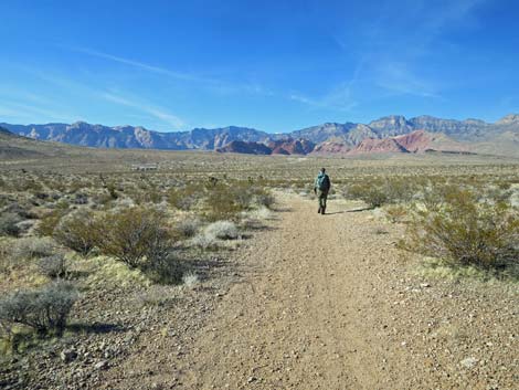
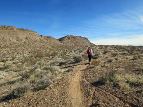 The trail climbs at gentle grades (view SE) |
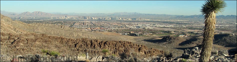
From the end of the old road (Wpt. 29), the Campground Knoll Trail turns right and runs off-trail up the hillside to the top of the knoll, a false summit as it turns out, but one with great views out across the Las Vegas Valley. The route continues west, dropping into a saddle and climbing onto the next hilltop, which is part of the summit ridge. Now turning south, the off-trail route drops into yet another saddle before climbing onto the true summit (Wpt. 30). The summit is rather broad and flat, but someone put up a small cairn that serves as the summit marker. There is no register. All along this off-trail section, there are been great views out across the Las Vegas Valley. Somehow, it seems extra peaceful to sit on a rocky hill, surrounded by cactus and yuccas, while watching people driving around and going about their daily hustle and bustle down below. While on the summit, be sure to notice the fossils. There are calcite (white) fossils of bivalves and crinoids embedded in the limestone and lots of dark fossiliferous material eroded out onto the surface of the limestone. |
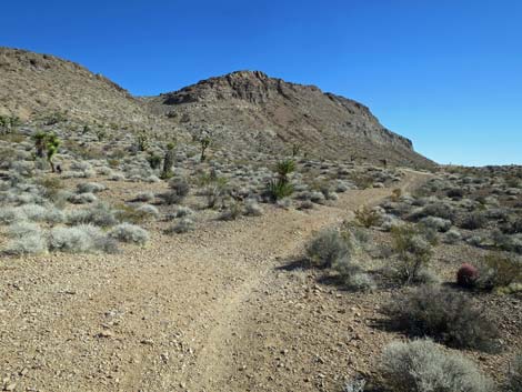
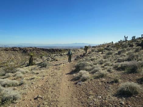
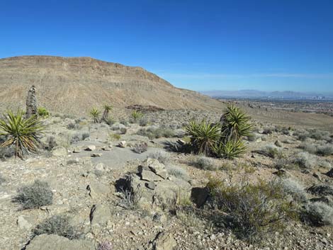
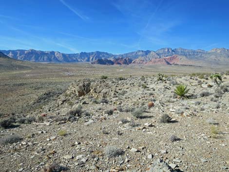
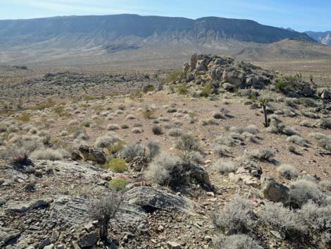
 The gentle grade begins to level out (view SE) |
Vegetation on the summit is typically diverse Mojave Desert Scrub, including Eastern Joshua Trees and Mojave Yucca, Creosote Bush and White Bursage, lots of cactus (California Barrel Cactus, Cottontop Cactus, Engelmann's Hedgehog Cactus, Desert Spinystar, and Pencil Cholla), Blackbrush (usually found at higher elevations), Eastern Mojave Buckwheat, Mormon Tea, Desert Needlegrass, Matchweed, Red Brome, and lots of Biocrust growing among the rocks. From the summit (Wpt. 30), the loop turns west and wanders down towards the edge of cliffs. Enjoy the view, but don't stray too close to the edge. The off-trail route follows the top edge of the cliffs back north towards the campground, which can be seen from the summit and all along here. The cliffs eventually run out, and the route, still running north, drops off the ridge into a saddle (Wpt. 31) just before the last rocky knob. Contouring around the south side of the knob, the route drops onto another old road (Wpt. 32). This old road runs straight into a newer road near the campground and ends by the entrance to the family campground (Wpt. 36). Hikers can duck under the fence onto the pavement and follow Moenkopi Road back to the trailhead (Wpt. 01). |
 T-intersection; trail turns left (view SE) |
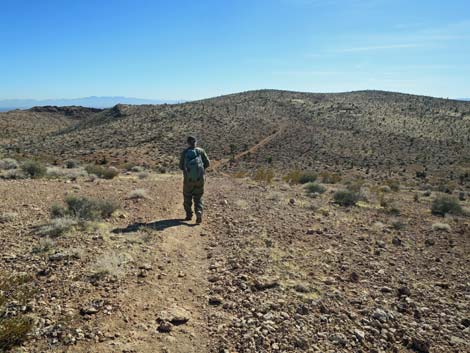
 Hiker staying left onto an old road (view SE) |
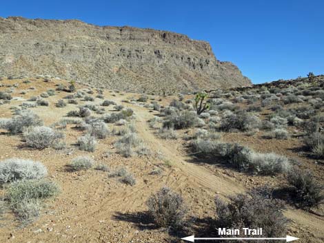
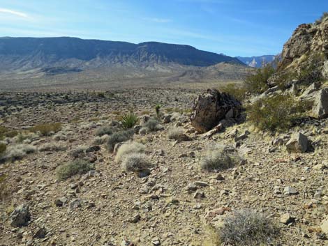
 Continuing up towards the base of Gun Range Ridge (view SE) |
 T-intersection; trail stays straight (view SE) |
 At the intersection, this trail runs back to Charleston Blvd (view N) |
 The old road bends to traverse the hillside (view SE) |
 Traversing the hillside (view SE) |
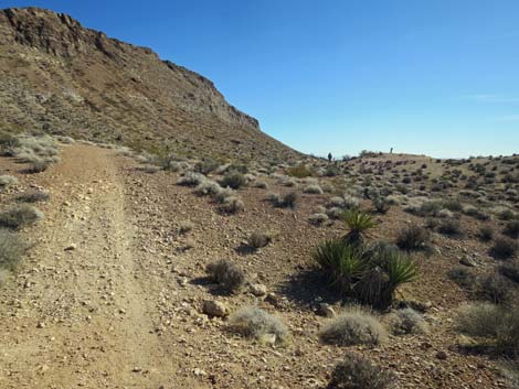 The road climbs again (view SE) |
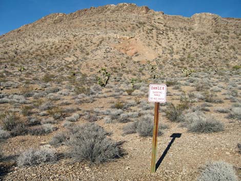
 Above the old road, there is a sign on the hillside (view E) |
 Sign on the hillside: Danger: Shooting Range - Do Not Enter (view E) |
 The ridge is the backstop for the gun range (view E) |
 The old road runs onto a ridgeline (view S) |
 Hiker at fork in the trail (stay right; view SW) |
 Side trail stays south towards Las Vegas (view S) |
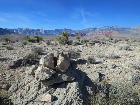
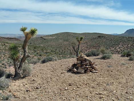 Huge cairn with Campground Knoll in the background (view S; 2009) |
 Huge cairn has been destroyed (view S; 2020) |
 Trail follows the ridgeline westward (view W) |
 Traversing rolling country (view S) |
 Some elevation to lose from this knoll (view S) |
 Another T-intersection; trail continues straight (view S) |
 Side trail connects to trail towards Las Vegas (view SE) |
 Trail forks again; route stays left up the hillside (view S) |
 Climbing towards the next ridgeline (view SE) |
 Hiker passing a nice cactus garden (view S) |
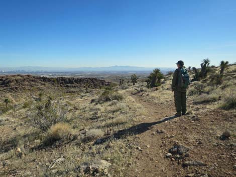
 The grade eases and hints of view over Las Vegas (view SE) |
 Nearing the end of the old road (view S) |
 End of the old road; a trail continues over and down (view S) |
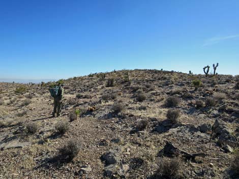
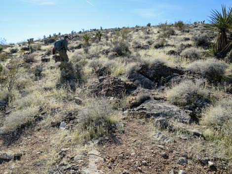 Departing the trail, a hiker climbs the hillside (view SW) |
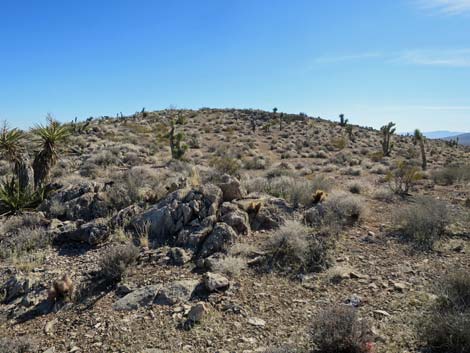
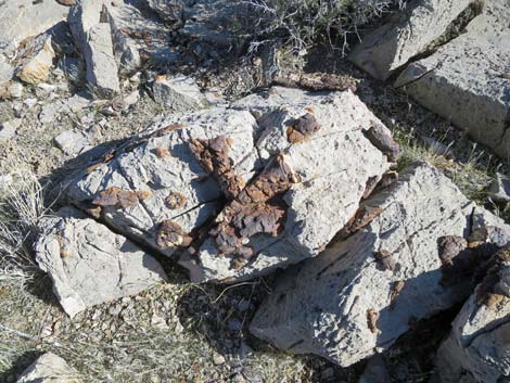
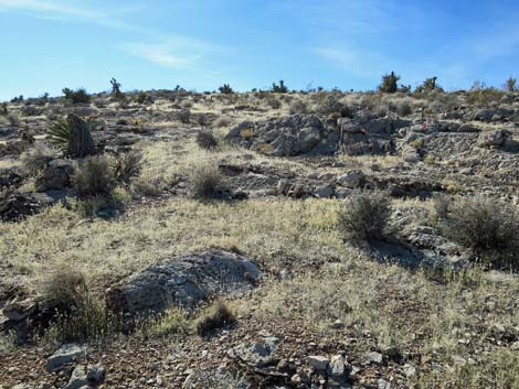 Lots of rock and yucca on the hillside (view SW) |
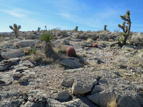 Lots of rock and cactus on the hillside (view SW) |
 Approaching a false summit (view W) |
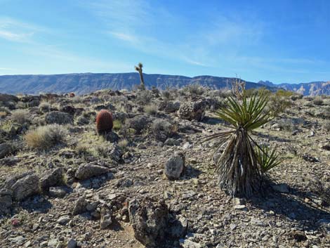
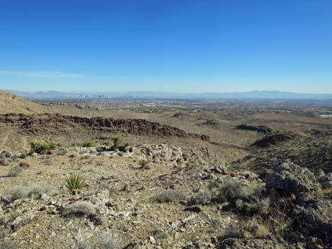 Big views out over the Las Vegas Valley (view SE) |
 The route continues towards the summit ridge (view W) |
 Climbing onto the summit ridge (view W) |
 On the summit ridge, the true summit is in view (view S) |
 Traversing open ridgeline (view S) |
 Climbing towards the summit (view S) |
 Climbing towards the summit (view S) |
 Hiker gaining the summit plateau (view S) |
 Hiker traversing the summit plateau (view S) |
 Hiker on the summit (view S) |
 The summit is rather flat, but is marked with a small cairn (view SE) |
 Summit cairn (view E) |
 Summit cairn (view NW towards Calico Basin) |
 Summit cairn (view NW towards Calico Basin) |
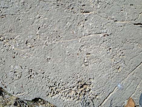 Fossils in the summit rocks |
 Fossils in the summit rocks |
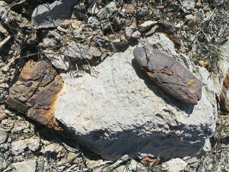 Fossil on the summit rocks: dinosaur left something here? |
 From the summit, the route runs northwest towards cliffs |
 Summit cliffs (view N) |
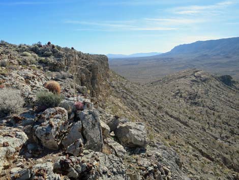 Summit cliffs (view S) |
 Route traverses gentle terrain above the cliffs (view N) |
 Nice views with Mojave Yucca (view NW) |
 Another cactus garden (view N) |
 Route traverses gentle terrain above the cliffs (view N) |
 Eventually, a gentle descent bypasses the cliffs (view N) |
 Route curves down and left of a rocky knob (view NW) |
 Route curves down and left of a rocky knob (view NW) |
 Crossing below the rocky knob (view W) |
 Route returns to an old mining road (view NW) |
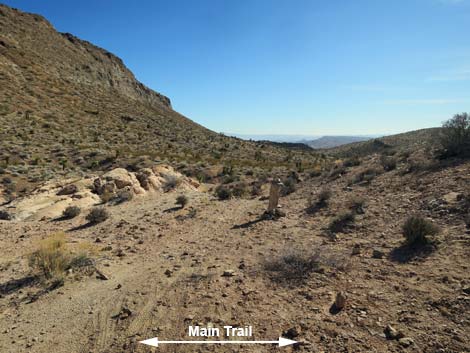
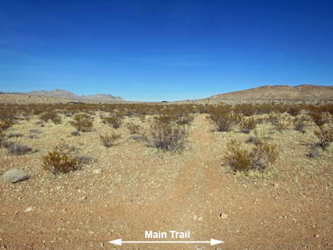
 Trail forks; main trail stays straight (view NW) Trail forks; main trail stays straight (view NW) |
 Old road runs out onto desert flats (view NW) |
 Passing the last of the Joshua Trees (view NW) |
 Old road runs across desert flats (view NW) |
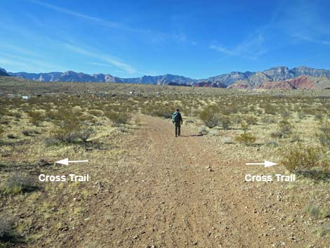 Main trail crosses a minor trail (view NW) |
 Single-track trail crosses main trail and continues (view NW) |
 Approaching the end of the old road (view NW) |
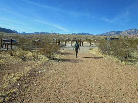
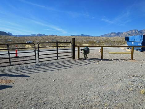 Hiker stepping under fence into the campground (view NW) |
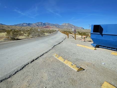 The trail follows the campground road back to the trailhead (view NW) |
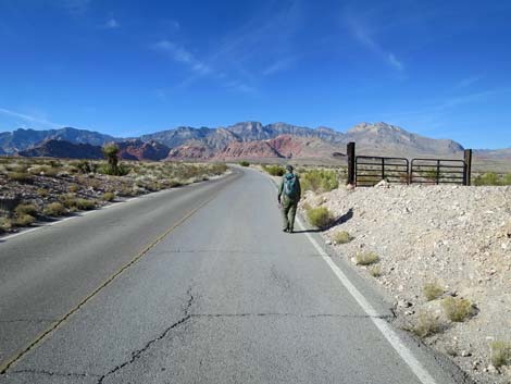 Hiker following campground road back to the trailhead (view NW) |
 Hiker passing the campground sign (view N) |
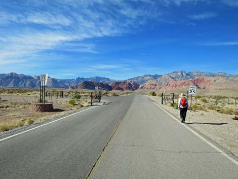
 Hiker arriving back at the trailhead (view N) |
Table 1. Hiking Coordinates Based on GPS Data (NAD27; UTM Zone 11S). Download Hiking GPS Waypoints (*.gpx) file.
| Wpt. | Location | UTM Easting | UTM Northing | Elevation (ft) | Point-to-Point Distance (mi) | Cumulative Distance (mi) |
|---|---|---|---|---|---|---|
| 01 | Trailhead Parking | 644710 | 4000437 | 3,455 | 0.00 | 0.00 |
| 18 | Fork in Trail by Joshua Tree | 645104 | 4000504 | 3,437 | 0.25 | 0.25 |
| 19 | Fork in Trail | 645300 | 4000383 | 3,429 | 0.15 | 0.40 |
| 21 | Fork in Old Road | 645514 | 4000349 | 3,413 | 0.13 | 0.53 |
| 25 | Trail Junction | 645812 | 4000561 | 3,628 | 0.25 | 0.78 |
| 26 | Trail Jct on High Point | 646378 | 4000041 | 3,501 | 0.50 | 1.28 |
| 27 | Trail Jct with Burro Trail | 646428 | 4000055 | 3,496 | 0.03 | 1.31 |
| 28 | Big Cairn along Old Road | 646612 | 3999941 | 3,538 | 0.18 | 1.49 |
| 29 | Dirt Road End | 646882 | 3999333 | 3,546 | 0.50 | 1.99 |
| 30 | Summit | 646779 | 3998922 | 3,628 | 0.35 | 2.34 |
| 31 | Saddle behind Little Knob | 646401 | 3999177 | 3,495 | 0.35 | 2.69 |
| 32 | Old Road | 646343 | 3999139 | 3,470 | 0.04 | 2.73 |
| 36 | South Trailhead | 645540 | 3999428 | 3,365 | 0.55 | 3.28 |
| 01 | Trailhead Parking | 644710 | 4000437 | 3,455 | 0.85 | 4.13 |
Happy Hiking! All distances, elevations, and other facts are approximate.
![]() ; Last updated 240330
; Last updated 240330
| Hiking Around Red Rocks | Hiking Around Las Vegas | Glossary | Copyright, Conditions, Disclaimer | Home |