Hiking Around Las Vegas, Spring Mountains (Mt. Charleston), Lee Canyon
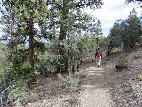
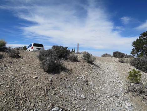
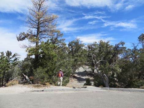 Hiker departing the DCCP Trailhead parking area (view E) Hiker departing the DCCP Trailhead parking area (view E) |
Overview The Sawmill Trail System is made up of several short and long loops in the vicinity of Sawmill Picnic Area. The Deer Creek -- Catch Pen (DCCP) Loop Trail is the south-most of the loop trails. This loop is about 8-miles long, but if hikers can stage a car, then hiking the south side of the loop to the bottom (Deer Creek Trail), then continuing downhill to Lee Canyon Road makes for a good point-to-point hike. Described here is a 7-mile, one-way hike from the Catch Pen Trailhead along Deer Creek Road to the Gravel Pit Trailhead along Lee Canyon Road with a net descent of about 1,000 feet. Starting along Deer Creek Road, this trail generally makes a long downhill run to an old corral on an easy-to-follow trail. From the corral, however, the trail winds up and down and around a landscape where feral horses have created a considerable number of animal-trails that confuse hikers. This is a good place to practice GPS orienteering using waypoints to stay on the easiest combination of trails, but confused and lost hikers can always just walk due north to find a way out. Link to Sawmill area map or DCCP trail map. |
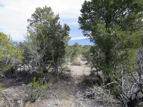
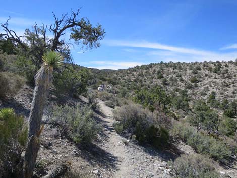
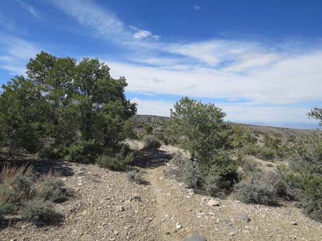
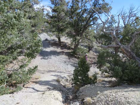 Departing the pavement, the trail curves down and right (view E) |
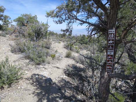
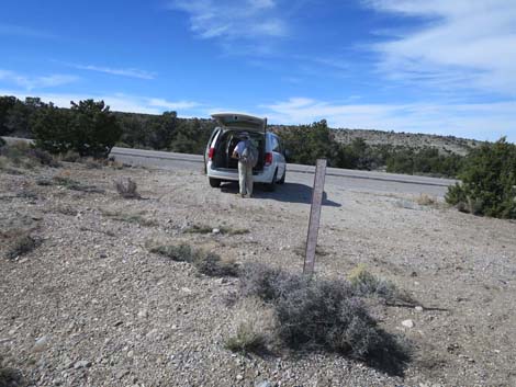
Watch Out Other than the standard warnings about hiking in the desert, ... this is a fairly safe hike without unusual hazards. However, this trail is located outside the Mt. Charleston Wilderness Area and is open to mountain bikes, so hikers have to watch for bikes careening down the trail. Watching for bikes, this hike is okay for kids, but it might be a little long. This is a good trail to practice GPS orienteering in the area below the old corral. While hiking, please respect the land and the other people out there, and try to Leave No Trace of your passage. Also, this hike is long, so be sure to bring the 10 Essentials. Getting to the Trailhead The trail is located up in the Spring Mountains National Recreation Area (generally referred to as Mt. Charleston) along Deer Creek Road, about 50 minutes northwest of Las Vegas. From town, drive out to the Catch Pen Trailhead. |
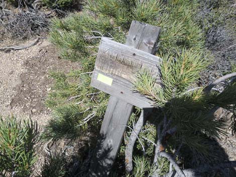
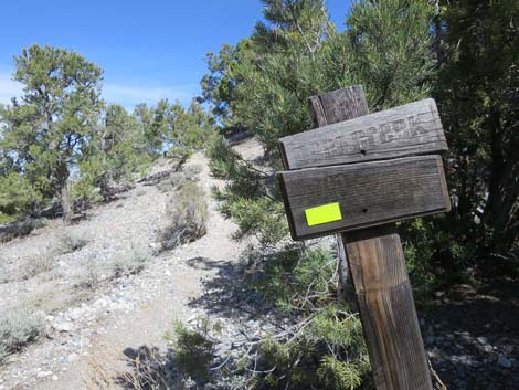
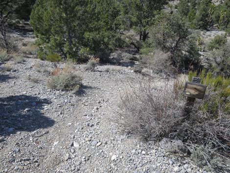
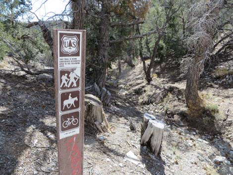 Trailhead sign |
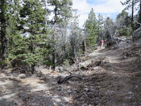
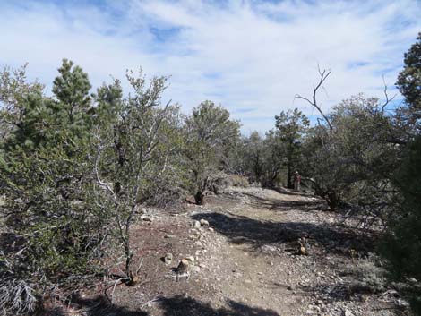
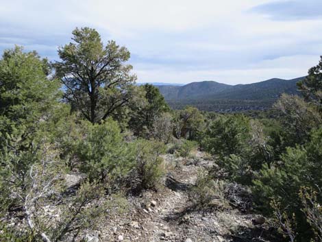
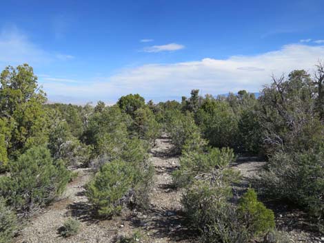
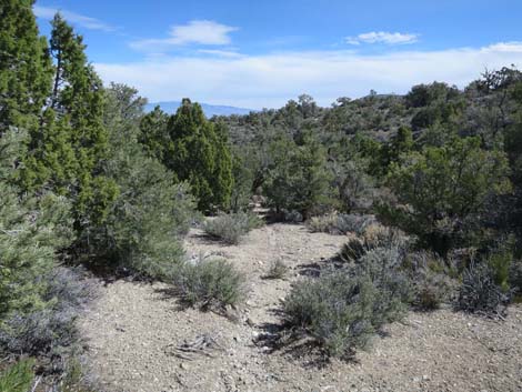
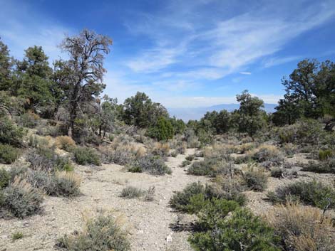
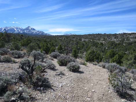
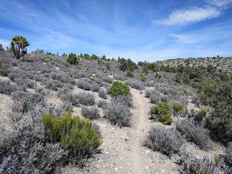
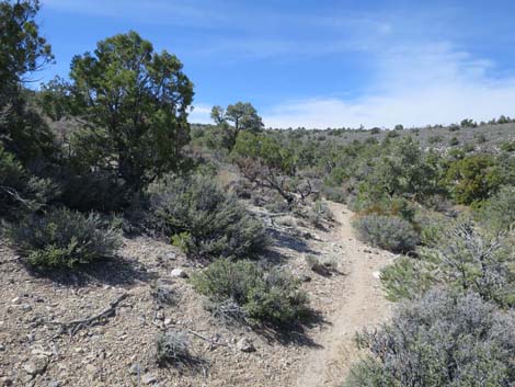
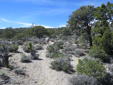
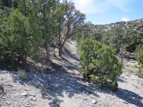
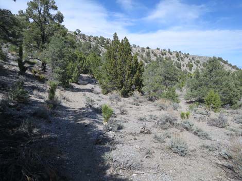
The Hike From the trailhead (Table 1, Waypoint 70), the trail departs the pavement and immediately drops down and right running below the roadway towards the south. The trail contours down and across the slope for about 0.3 miles to an unexpected switchback (Wpt. 71) on the hillside. The trail turns down to the left, then back to the right, and descends to cross a wash that carries trash and debris down from the highway. In this area, the forest is a mix of Ponderosa Pine, Singleleaf Pinyon Pine, Utah Juniper, and Curl-leaf Mountain Mahogany with relatively few shrubs in the understory. Crossing the wash, the trail turns east and descends at more gentle grades contouring across the slope. Snow can linger in this area. The trail turns south around a ridge, winds across another gully, and turns back to the east to begin a long, gentle descent of the ridgeline (Wpt. 72) where the Ponderosa Pine fall away and various shrubs become more prominent. |
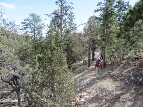 Hiker just below the highway in mixed pine forest (view SE) |
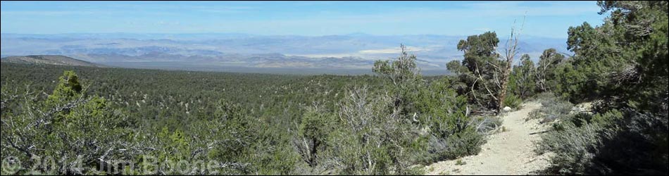
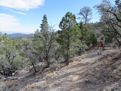
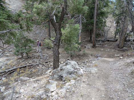
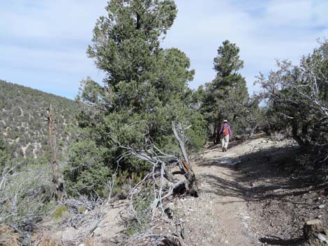
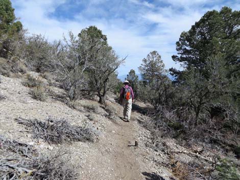
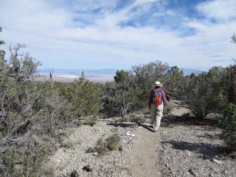
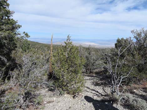
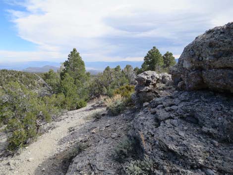
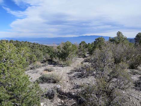
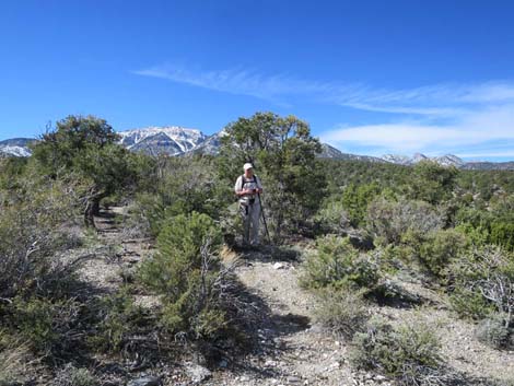
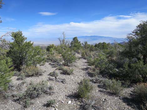
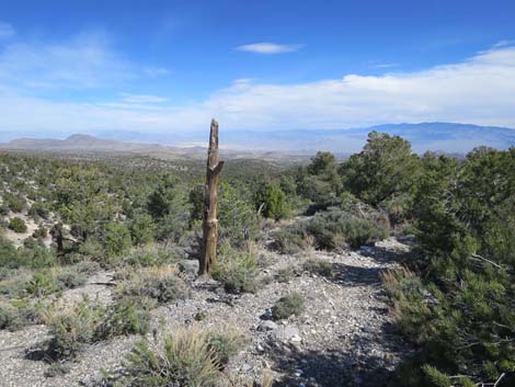
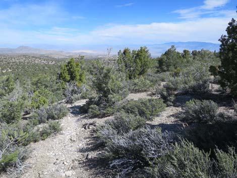
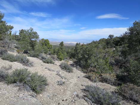
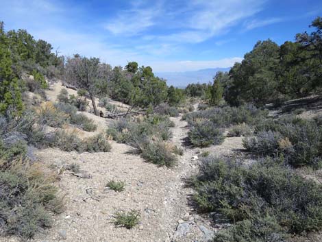
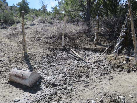
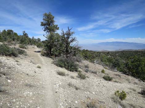
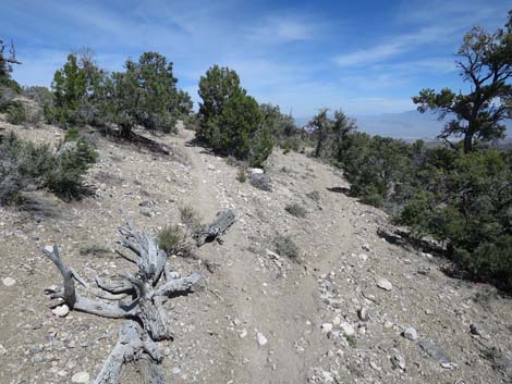
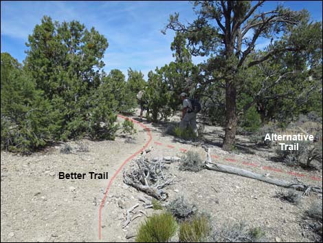
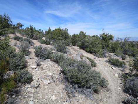
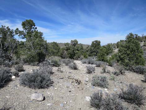
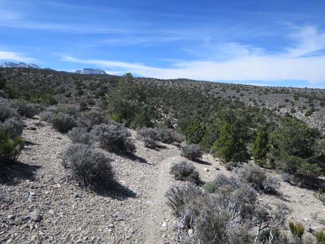
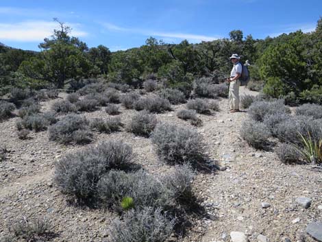
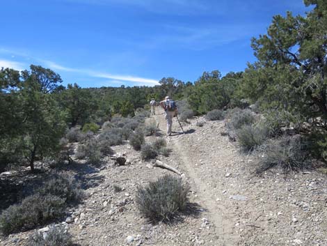
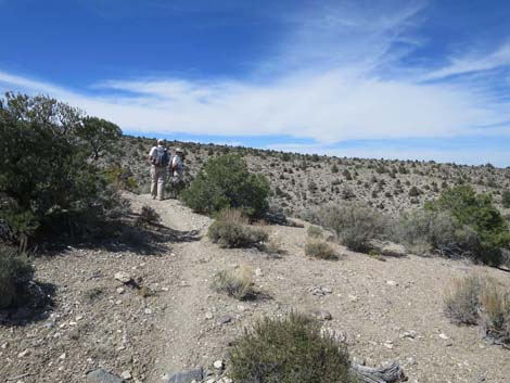
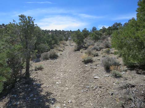
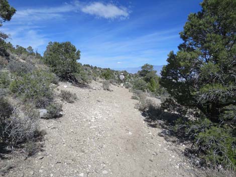
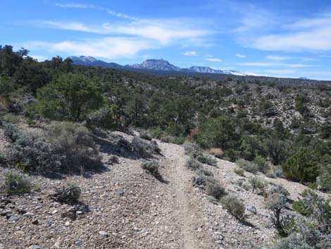
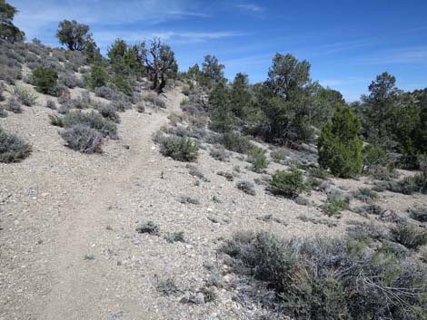
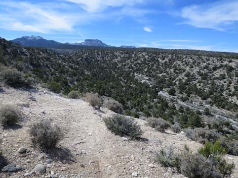
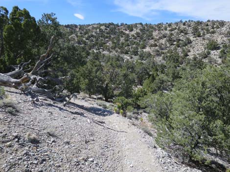
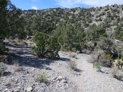
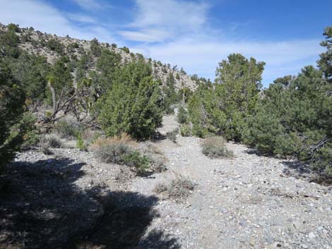
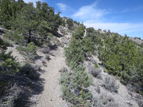
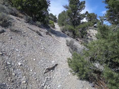
The trail runs down the ridge, sometimes on the crest, sometimes on the south side, and sometimes on the north side, all of which provide expansive views out to the east. Side ridges fork away one after another, but the trail is well defined and easy to follow. At about 3.1 miles out, the trail begins to descend off the ridgeline (Wpt. 73) into a gully. Following down the gully, it is curious to note that Deer Creek (the namesake of this trail) is just over the ridge to the south, yet never along the trail is Deer Creek really visible to hikers. Continuing down the gully, hikers encounter an old corral (Wpt. 74) with some old fencing and a partially functional watering trough. Feral animals get water here and the ground is stirred into mud. From here on, the plethora of use-trails and animal-trails on the landscape makes route finding difficult because at the many unmapped and unsigned forks in the trail, hikers need to decide which trail to take. Consistently making the optimal route choice makes for a nice exercise in GPS orienteering. |
 Hiker approaching the switchbacks (view SE) |
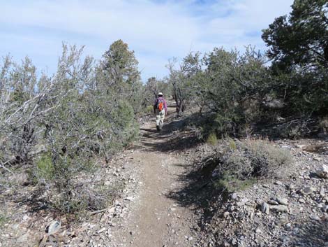
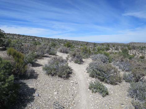
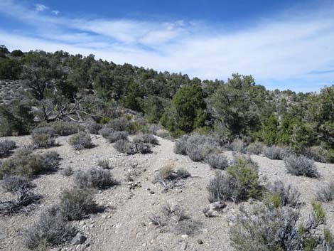
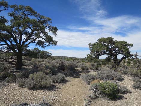
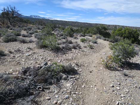
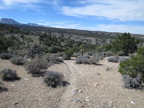
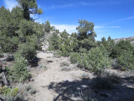
From the corral, the trail turns left to run nearly due north as it contours out of the gully and across the hillside before quickly arriving at a trail junction (Wpt. 75). Hikers can go left or right, but the left is more direct. Continuing, the trail angles down across hillsides (still running nearly due north) into a major canyon (Wpt. 76), crosses the wash, and contours out of the canyon still heading north. About 200 yards after crossing the wash, the trail bends left (northwest) to contour down across several low ridges into another canyon. Approaching the wash (Wpt. 77), the trail forks again. While not entirely clear, the Catch Pen part of the loop trail forks left up the wash to head back towards the trailhead (Wpt. 70). Continuing towards the Gravel Pit Trailhead, the trail crosses the wash and contours up out of the canyon, still heading generally north. Near the crest of the first ridge (Wpt. 78), another trail merges in from the left; this also goes back to become the Catch Pen Trail. The trail continues northward contouring gently across blackbrush-covered hillsides with Joshua trees into a low saddle (Wpt. 79). |
 Descending to cross the wash that comes down from the road |
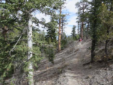
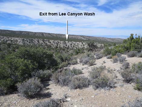
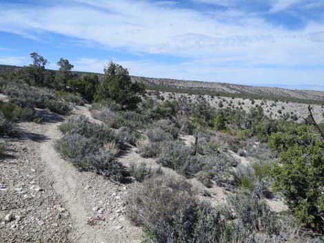
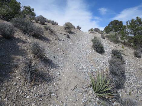
From the saddle, the trail drops rather steeply off the other side, now heading west. The trail crosses a deep wash, climbs over the toe of a low ridge, and drops to cross a second wash. From there begins a long westward series of climbing steeply around ridges and descending steeply into washes, including two sets of switchbacks, until finally descending steeply to a trail junction (Wpt. 62) just above Lee Canyon Wash. At the trail junction (Wpt. 62), the trail turns right and descends to cross Lee Canyon Wash. The trail is a bit washed out in this area, but it continues downstream on the north side of the wash (near the steep north wall) until abruptly beginning to climb steeply out of the canyon. Here, near the end of a long hike, it is well worth sitting in the shade and relaxing for a few minutes before beginning the steep climb out. Continuing, hikers will eventually top out on the edge of Lee Canyon Road (Wpt. 61). While this might be a suitable place to leave the second vehicle, it probably is wiser to continue down Lee Canyon Road 250 yards to Gravel Pit Road (Wpt. 60) and then to the Gravel Pit Trailhead parking area. |
 Hiker contouring out of the wash (view NE) Hiker contouring out of the wash (view NE) |
 Hiker contouring out to the first ridge (view NE) |
 Hiker contouring out to the second gully (view NE) |
 Hiker contouring towards the crest of the ridge (view NE) |
 Hiker arriving on the crest of the ridge (view NE) |
 Trail switches to south side of the ridge (view NE) |
 Trail running on south side of the ridge (view NE) |
 Trail running atop the ridge (view NE) |
 Expansive views out across the desert (view N) |
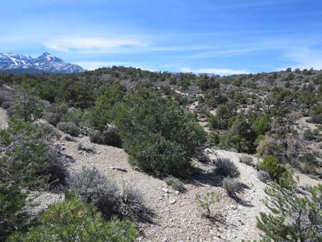
 Pinyon Pines along the trail (view NE) |
 Trail running on north side of the ridge (view NE) |
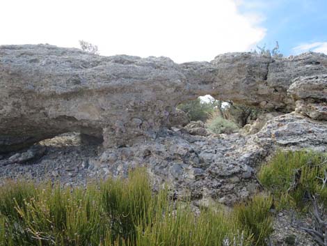 Caliche caves atop the ridge (view SE) |
 Trail on the crest of the ridge (view NE) |
 Ridge forks, trail descends to right fork of the ridge (view NE) |
 Trail on right fork of the ridge (view NE) |
 Great scenery (view N) |
 Great scenery (same spot; view NW) |
 Flat spot on ridge between steeper sections (view NE) |
 Trail atop ridge is less well defined in this area (view NE) |
 Trail begins another steeper section (view NE) |
 Trail begins final descent off the ridgeline (view NE) |
 Trail starts into gully (view NE) |
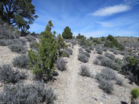
 Trail runs down gully (view NE) |
 Trail runs down gully (view NE) |
 Mostly unreadable old sign (view NE) |
 Trail in gully approaching the old corral (view NE) |
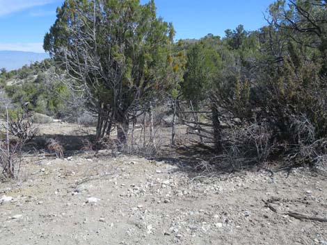 Trail in gully arriving at the old corral (view NE) |
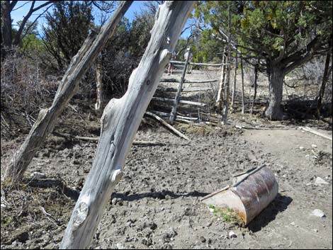
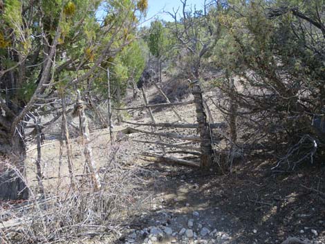 Old corral (view E) |
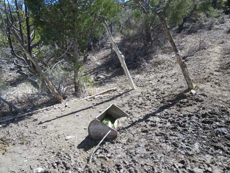 Old watering trough inside corral (view E) |
 Old corral (view W; note hikers on trail) |
 Old corral (view E) |
 Trail on hillside about 50 yards past corral (view N) |
 Trail forks; stay left despite sign just ahead on right fork (view N) |
 Sign on right fork; not the best way to go (view N) |
 The trail to the right merges back into better trail (view N) |
 Trail begins to gradually bend to the left (view N) |
 Trail bending more to the left (view N) |
 Catch Pen trail forks to the left (view W) |
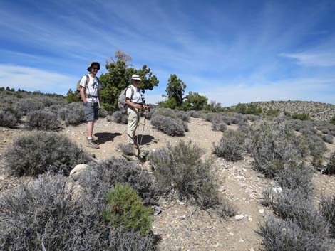 Hikers at another confusing trail junction (view N) |
 Trail bends over another low ridge (view W) |
 Traversing gentle slopes towards low saddle (view N) |
 Traversing gentle slopes towards low saddle (view N) |
 Arriving atop low saddle (view N) |
 Trail begins descent into next gully (view W) |
 Cresting another low ridge heading towards next wash (view NW) |
 Across the wash, the trail starts climbing (view W) |
 Hiker taking a rest at another confusing trail junction (view W) |
 Hikers approaching switchback to the right (view W) |
 Hikers cresting another ridge (view NW) |
 Climbing across the side of the ridge (view W) |
 Across a wash, climbing towards another switchback (view SW) |
 Hiker on switchback (view NE) |
 Cresting the ridge, steep climb is finished (view NW) |
 Cresting ridge with first view into Lee Canyon (view NW) |
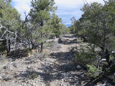
 Trail begins traverse of rolling country (view W) |
 Trail begins traverse of rolling country (view NE) |
 Cresting final ridge before descending into Lee Canyon (view N) |
 Another confusing trail junction (view W) |
 Descending towards Lee Canyon Wash (view NW) |
 Exit to Lee Canyon Road becomes visible in the distance (view NW) |
 Trail descending hillside (view NW) |
 First good view into Lee Canyon Wash (view W) |
 Descending towards junction with Blue Tree Trail (view W) |
 Looking back at another old trail sign (view E) |
 Approaching junction with Blue Tree Trail (view W) |
 Junction with Blue Tree Trail (view W) |
 Junction with Blue Tree Trail (view W up the Blue Tree Trail) |
 Junction with Blue Tree Trail (view N towards the trailhead) |
 Trail stays along the base of the steep hillside (view N) |
 Trail along base of the steep hillside starts to climb out (view N) |
 Climbing the steep hillside (view N) |
 Climbing the steep hillside (view N) |
 Still climbing the steep hillside (view N) |
 Approaching the top of the steep hillside (view N) |
 Trail sign and parking area at edge of Lee Canyon Road (view N) |
 More to come ... |
Table 2. Hiking Coordinates Based on GPS Data (NAD27; UTM Zone 11S). Download Hiking GPS Waypoints (*.gpx) file.
| Wpt. | Location | UTM Easting | UTM Northing | Elevation (ft) | Point-to-Point Distance (mi) | Cumulative Distance (mi) |
|---|---|---|---|---|---|---|
| 70 | Catch Pen Trailhead | 623155 | 4021465 | 8,003 | 0.00 | 0.00 |
| 71 | Switchback | 623542 | 4021241 | 7,848 | 0.33 | 0.33 |
| 72 | Ridgeline | 624209 | 4021651 | 7,667 | 0.71 | 1.04 |
| 73 | Begin Descent Off Ridgeline | 626398 | 4023843 | 6,767 | 2.10 | 3.14 |
| 74 | Old Corral | 626679 | 4024505 | 6,438 | 0.49 | 3.63 |
| 75 | Trail Forks | 626683 | 4024655 | 6,448 | 0.10 | 3.73 |
| 76 | Trails Merge | 626685 | 4024875 | 6,367 | 0.24 | 3.97 |
| 77 | Trail Forks | 626463 | 4025292 | 6,345 | 0.36 | 4.33 |
| 78 | Trails Merge | 626474 | 4025573 | 6,309 | 0.26 | 4.59 |
| 79 | Saddle | 626471 | 4025985 | 6,305 | 0.30 | 4.89 |
| 62 | Trail Junction | 624506 | 4026366 | 6,591 | 1.72 | 6.61 |
| 61 | Exit Lee Cyn Road | 624614 | 4026747 | 6,608 | 0.31 | 6.92 |
Happy Hiking! All distances, elevations, and other facts are approximate.
![]() ; Last updated 240329
; Last updated 240329
| Hiking Around Mt Charleston | Hiking Around Las Vegas | Glossary | Copyright, Conditions, Disclaimer | Home |