Backroads Around Las Vegas, Spring Mountains (Mt. Charleston)
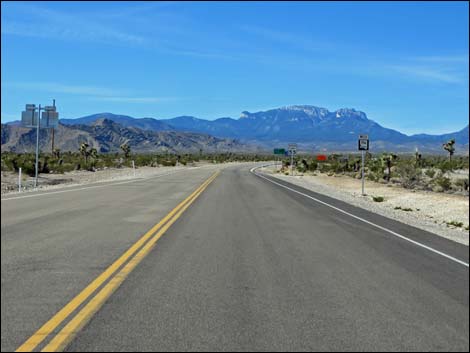
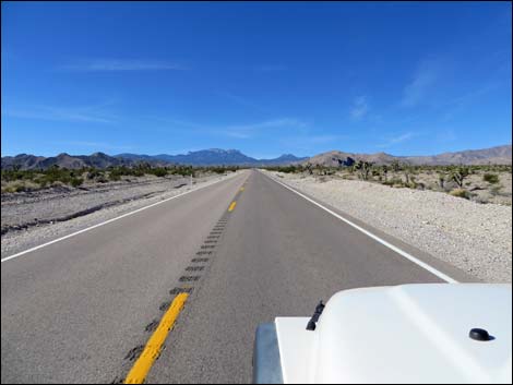
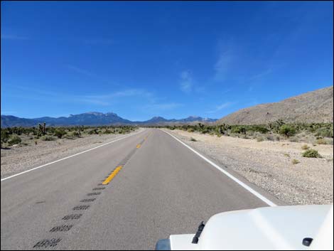
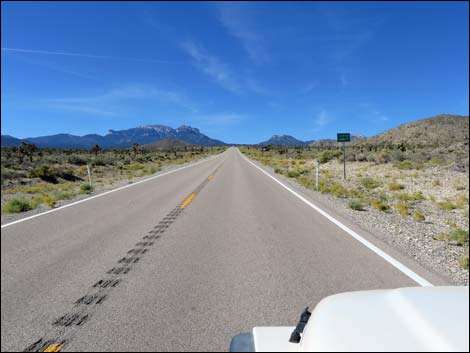
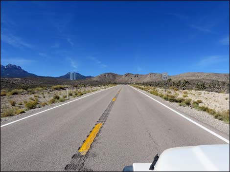
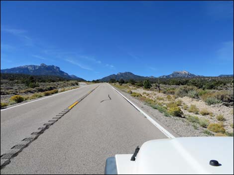
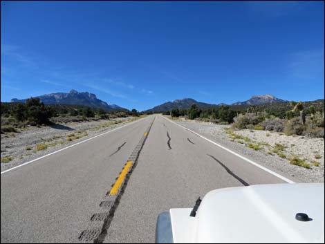
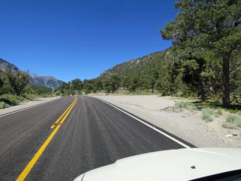
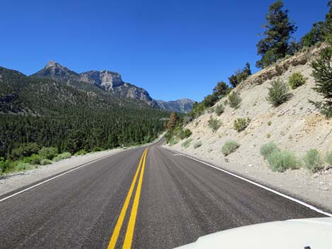
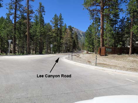
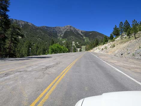
 Highway 95 at Lee Canyon Road (view N) |
Overview Lee Canyon Road is a maintained state highway (Hwy 156) that runs southwest from U.S. Highway 95 to the top of Lee Canyon in the high mountains of the Spring Mountains National Conservation Area. The road begins low in the desert and climbs through several life zones to a cool, high-elevation forested canyon. From many areas, views extend to peaks above treeline. The road provides access to numerous outdoor recreation sites (e.g., hiking, picnicking, and camping areas), Lee Meadow, and a ski area. Link to map. |
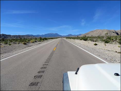
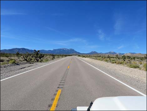
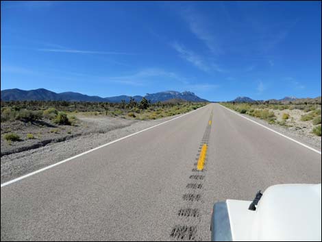
 Lee Canyon Road (view W from Highway 95) Lee Canyon Road (view W from Highway 95) |
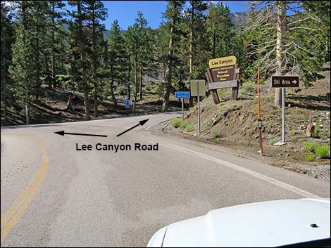
Watch Out Other than the standard warnings about driving in the desert, ...this is a fairly safe drive. The road is a regular state highway with normal highway grades, signs, and safety features. Nonetheless, always watch for crazy drivers careening around blind corners and watch for feral horses on the roadway. There is no gasoline on the mountain. While out, please respect the land and the other people out there, and try to Leave No Trace of your passage. Also, even though this is a paved road, be sure to bring what you need of the 10 Essentials. Getting to the Roadhead This road is located off Highway 95 (the highway to Reno) about 30 minutes northwest of Las Vegas. From town, drive north on Highway 95. From the outskirts of town, drive north about 14 miles to Lee Canyon Road (Highway 156; Table 1, Site 0668), on the left. Turn left onto Lee Canyon Road and drive southwest on the paved road. |
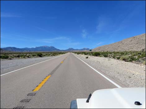
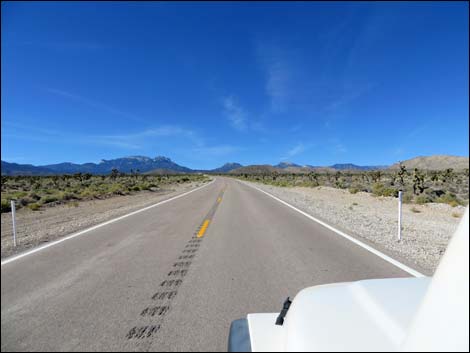
 Beginning of Lee Canyon Road (view SW) |
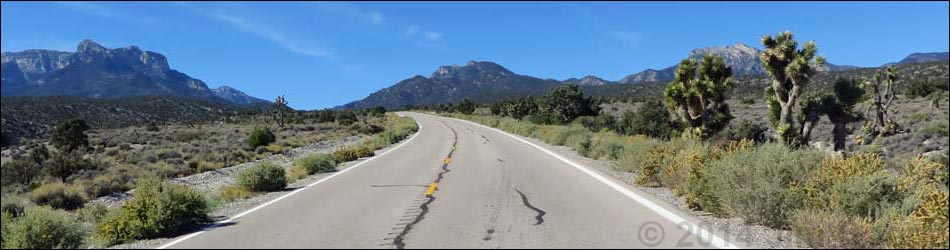
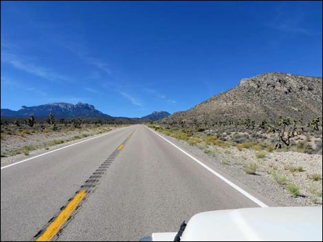
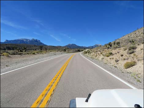
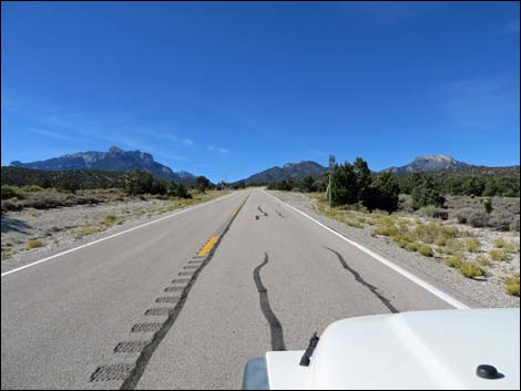
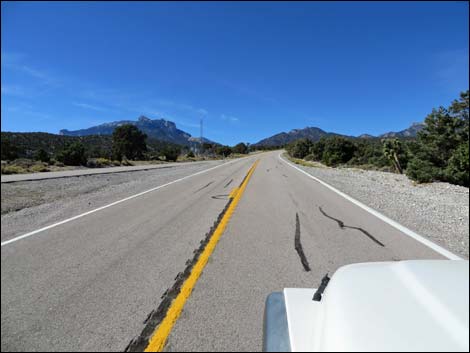
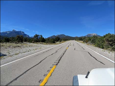
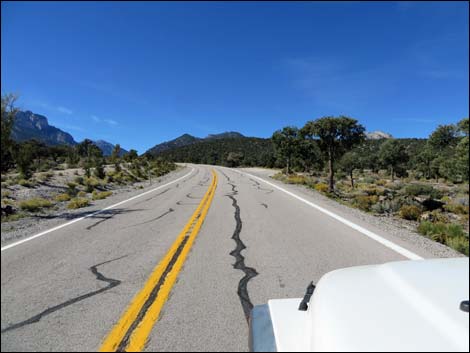
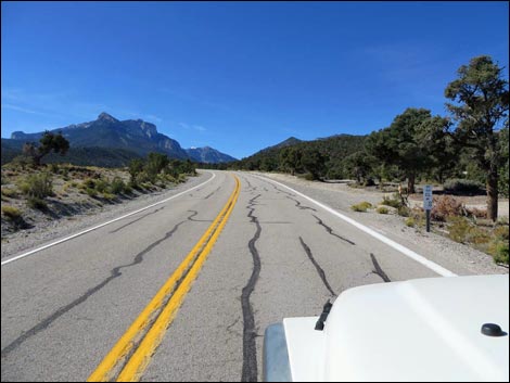
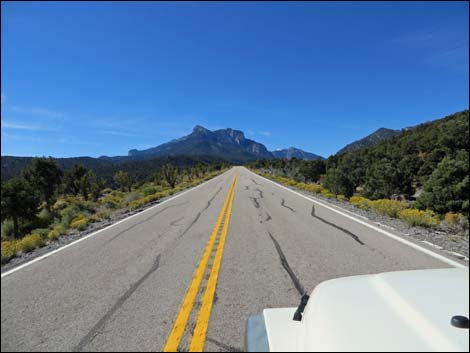
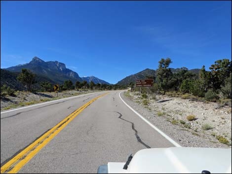
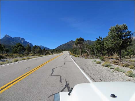
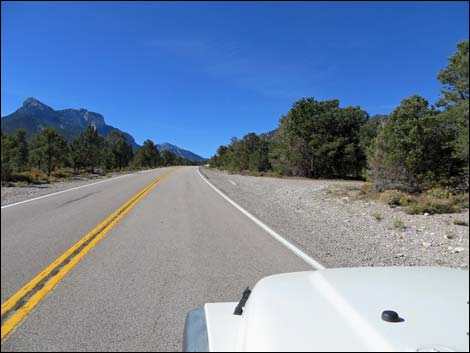
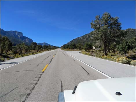
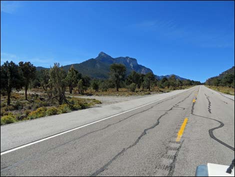
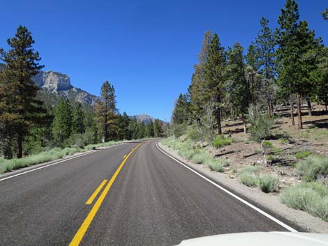
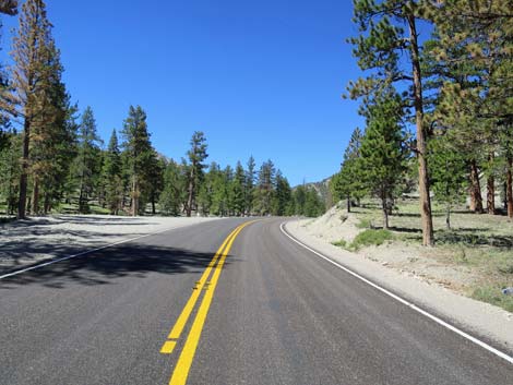
The Road While this road might be just a way to get somewhere, it is better thought of as a scenic tour through the landforms and habitat types of southern Nevada. From Highway 95, Lee Canyon Road (Highway 156; Table 1, Site 0668) runs southwest towards the mountains in the distance. The road quickly passes a Park-and-Ride area on the right, and then a sign with information on construction activities along the road. Driving southwest, he road starts in the seemingly flat and barren desert, but is Mojave Desert Scrub dominated by creosote bush, Mojave Yucca, and few other shrubs. During summer, this area is so hot and dry that few plants and animals survive here. As the road climbs towards the distant peaks, the enough elevation is gained to moderate the temperatures and to receive a bit more precipitation. Here, the Mojave Desert Scrub becomes "lush," and Joshua trees and a variety of shrubs (e.g., apache plume, stansbury cliffrose, desert almond) become common, and several species of cactus join the mix. |
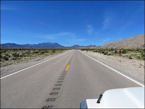
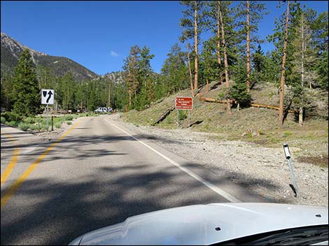
 Lee Canyon Road at Highway 156 sign (view SW) |
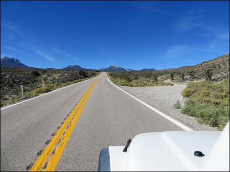
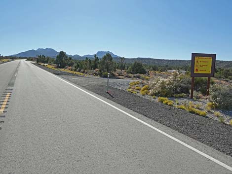
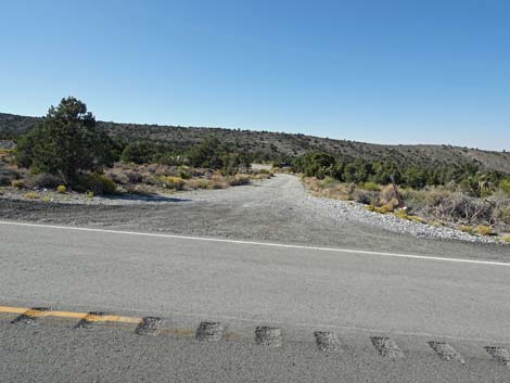
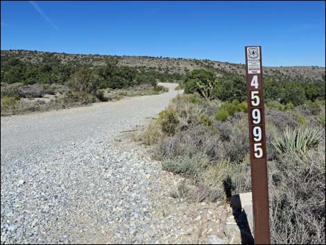
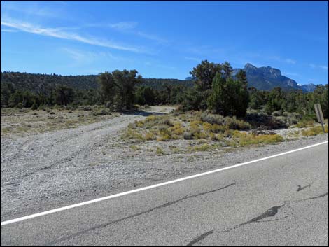
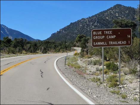
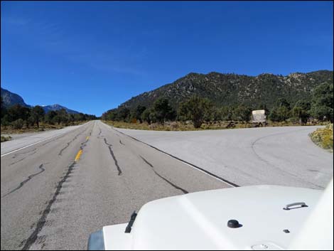
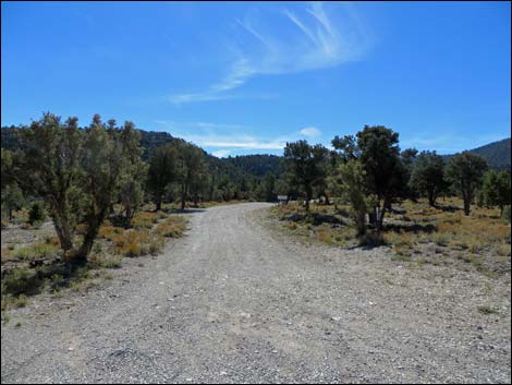
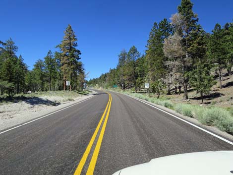
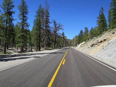
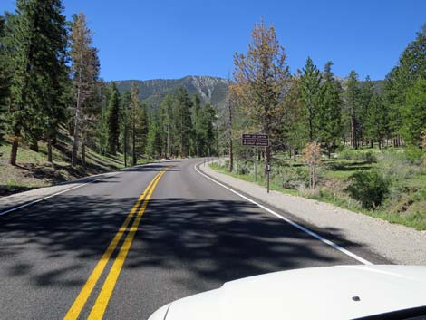
In this more lush area, keep an eye out for feral horses along the road, or even in the road. In this zone, there are some paved pullout (pieces of the original highway) where drivers can stop, get out, and look around the desert. At about 10.5 miles out, the road passes Gravel Pit Road (Site 1907), on the right. This short road provides access to Gravel Pit Trailhead parking area (Site 1908). As the road climbs higher, it enters the Pinyon-Juniper Woodland zone. Here, short trees (single-leaf pinyon pine and Utah juniper) begin to appear growing among dense thickets of mountain mahogany and other shrubs. In this zone, the road passes turnoffs to Blue Tree Group Campground and Sawmill Trailhead and Picnic Area (Site 1273). About the time Lee Canyon Road reaches Mack's Canyon Road (on the right; Site 0729), tall ponderosa pine appear and Lee Canyon Road enters true woods. Mack's Canyon Road is a rough dirt road that runs north into the woods and is used for primitive camping. |
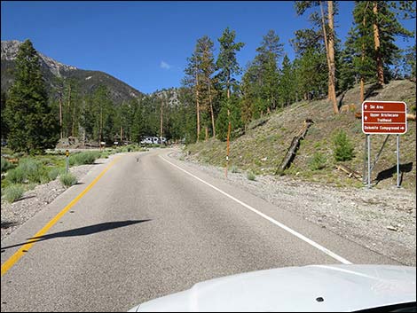
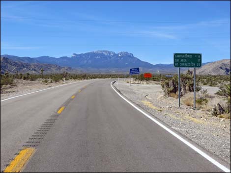 Lee Canyon Road at directional sign (view SW) |
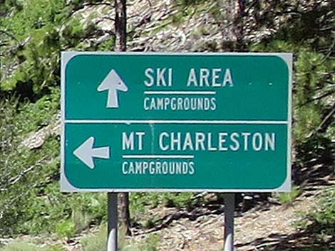
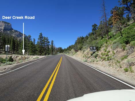
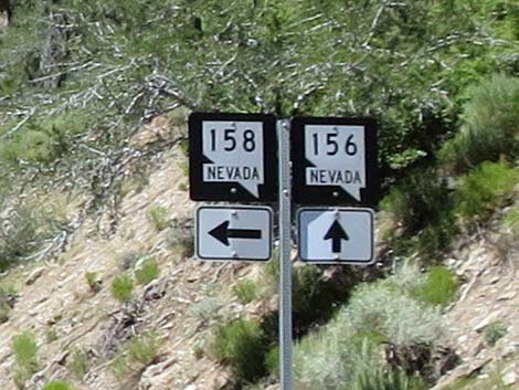
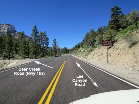
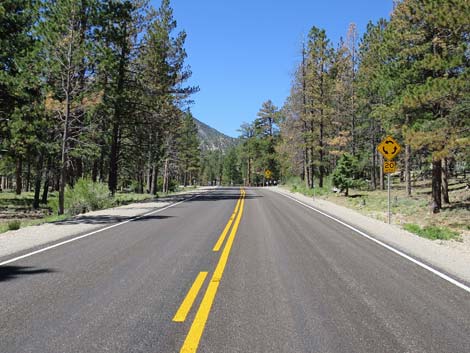
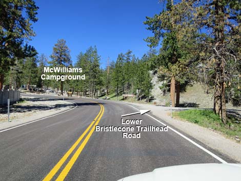
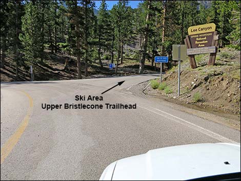
At about 14 miles out, Lee Canyon Road passes Deer Creek Road (Site 1272) on the left. Deer Creek Road is a paved highway that runs south across the face of the mountains to Kyle Canyon Road. Continuing, Lee Canyon Road passes gated roads on both sides of the highway that lead to private homes off in the woods. Quickly, Lee Canyon Road passes Foxtail Group Picnic Area on the left and Old Mill Picnic Area on the right, then arrives at Lee Meadow (Site 0557). Lee Meadows is a nice place to stop and relax in a scenic mountain setting or to play in the winter snow. Beyond Lee Meadows the road curves about and passes Lower Bristlecone Trailhead access road (Site 1276), one of the most popular trails in the area. Lee Canyon Road then winds past McWilliams and Dolomite Campgrounds, both on the right, and climbs somewhat steeply to pass the Las Vegas Ski and Snowboard Resort, on the left, and shortly arrives at the end of the road, which also is the Upper Bristlecone Trailhead (Site 0556). |
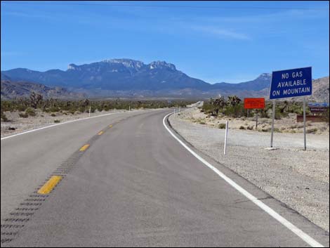 Sign: No gas available on mountain (view SW) |
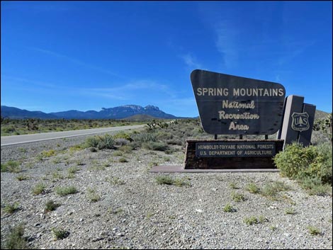
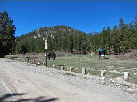
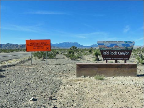 Red Rock Canyon NCA boundary sign (view SW) |
 |
 |
 |
 |
 |
 |
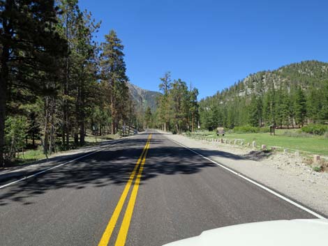
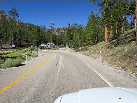
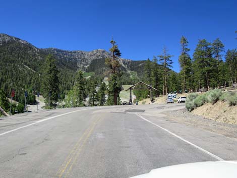
 Lee Canyon Road (view SW) |
 Lee Canyon Road at Spring Mountains NRA boundary sign (view SW) |
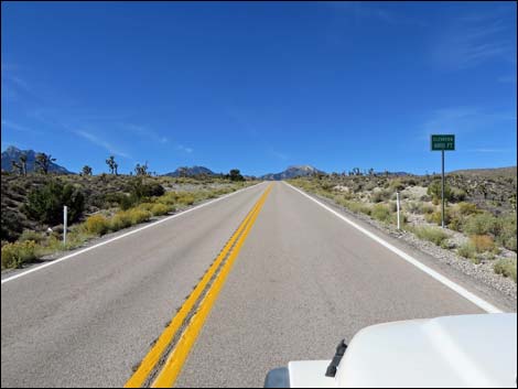
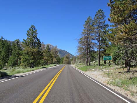
 Lee Canyon Road at 5,000-foot elevation sign (view SW) |
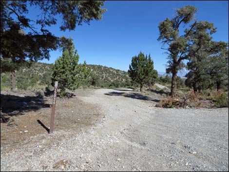
 Lee Canyon Road approaching Forest Road 45560 (view SW) Lee Canyon Road approaching Forest Road 45560 (view SW) |
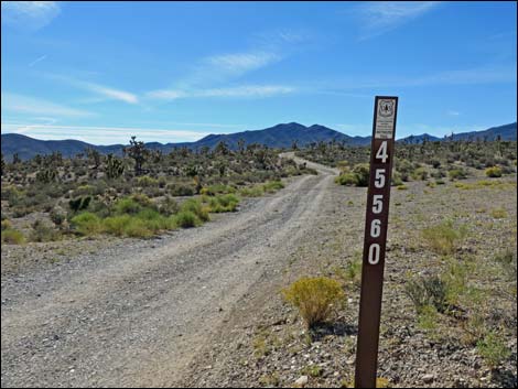 Forest Road 45560 (view S from Lee Canyon Road) |
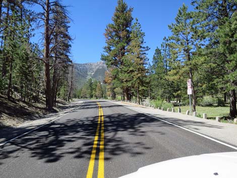
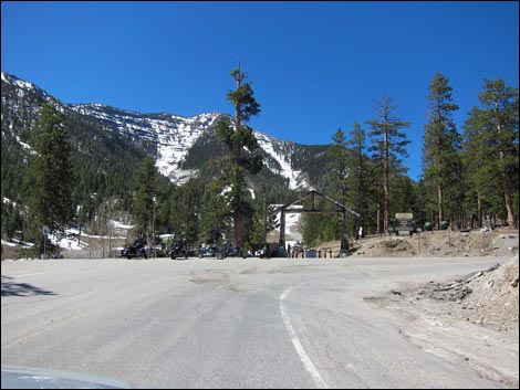
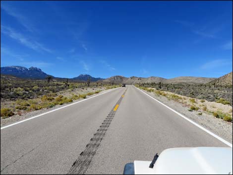 Lee Canyon Road (view SW) |
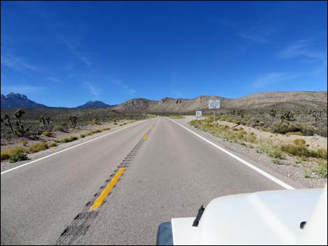
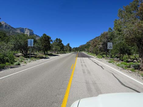
 Lee Canyon Road at speed limit 55 mph sign (view SW) |
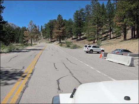
 Lee Canyon Road approaching snow chain-up area (view SW) |
 Lee Canyon Road approaching Road 25830 (view W) |
 Forest Road 25830 (view N from Lee Canyon Road) |
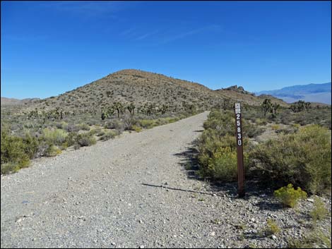
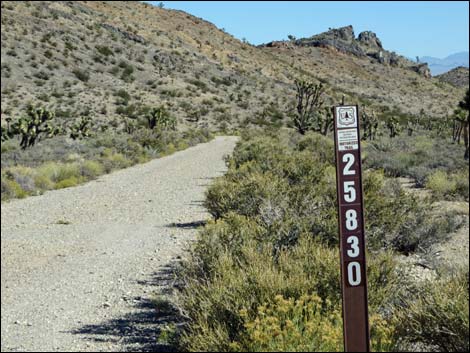 Forest Road 25830 sign (view N from Lee Canyon Road) |
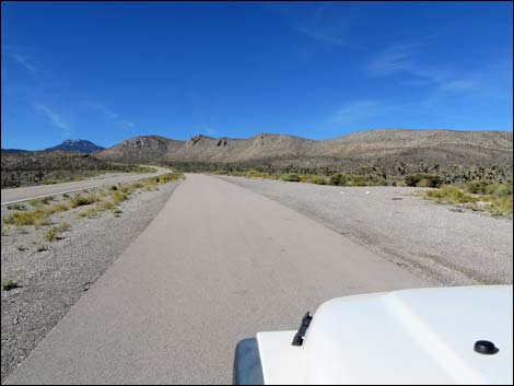
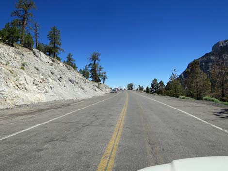
 Lee Canyon Road in the Mojave Desert Scrub zone (view SW) |
 Lee Canyon Road (view SW) |
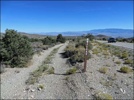
 Lee Canyon Road approaching Forest Road 45996 (view SW) |
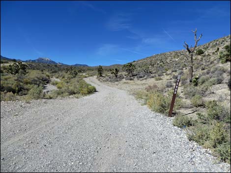 Forest Road 45996 (view N from Lee Canyon Road) |
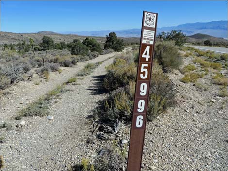
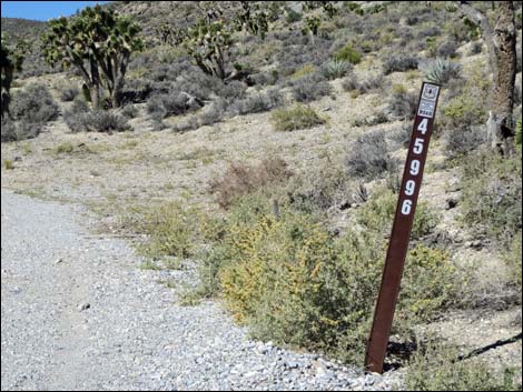 Forest Road 45996 sign (view N) |
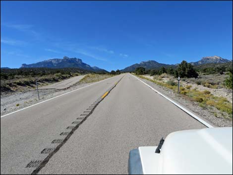
 Lee Canyon Road at 6,000-foot elevation sign (view SW) |
 Lee Canyon Road (view SW) |
 Lee Canyon Road approaching Forest Road 45996 (view SW) |
 Forest Road 45996 (view NE from Lee Canyon Road) |
 Forest Road 45996 (view NE) |
 Lee Canyon Road at paved spur (view SW) |
 Lee Canyon Road approaching Forest Road 45995 (view SW) |
 Lee Canyon Rd at Gravel Pit Trailhead Road (Road 45995; view W) |
 Gravel Pit Trailhead Road (Road 45995; view N from Lee Canyon Rd) |
 Gravel Pit Trailhead Road sign (view N from Lee Canyon Road) |
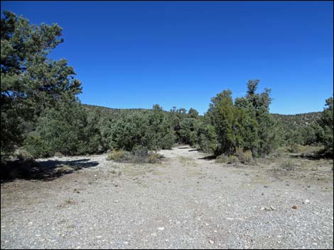
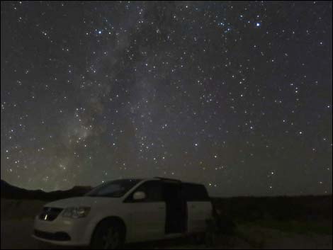 Camping with dark sky at Gravel Pit Trailhead (view NW) |
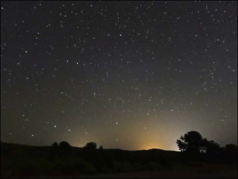 Camping at Gravel Pit Trailhead (view S towards Las Vegas) |
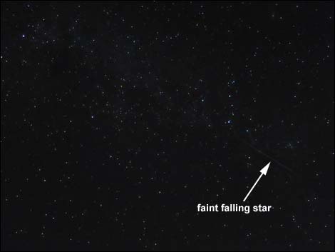 Dark sky with faint meteor at Gravel Pit Trailhead (original photo) |
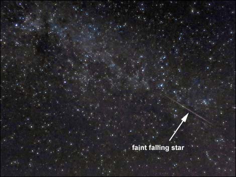 Dark sky with meteor at Gravel Pit Trailhead (light levels changed) |
 Lee Canyon Road approaching second chain-up area (view SW) |
 Lee Canyon Road approaching a weather station (view SW) |
 Lee Canyon Road approaching spur road (view SW) |
 Spur road (view S from Lee Canyon Road) |
 Lee Canyon Road approaching Forest Road 25835 (view SW) |
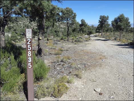 Forest Road 25835 (view N from Lee Canyon Road) |
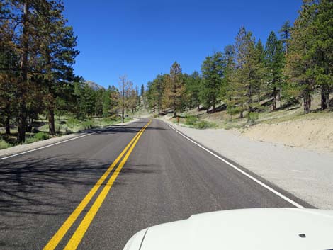
 Lee Canyon Road in the Pinyon-Juniper Woodland zone (view SW) |
 Forest Road 45001 (view NW from Lee Canyon Road) |
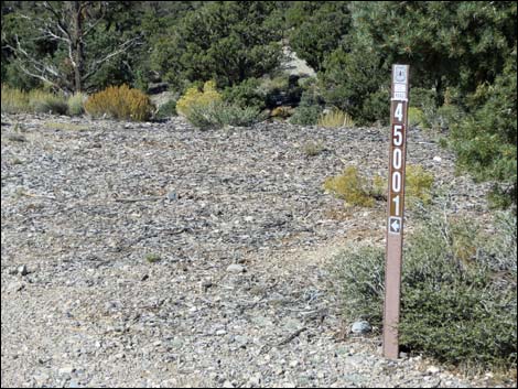 Forest Road 45001 sign (view WN) |
 Forest Road 25836 (view NE from Lee Canyon Road) |
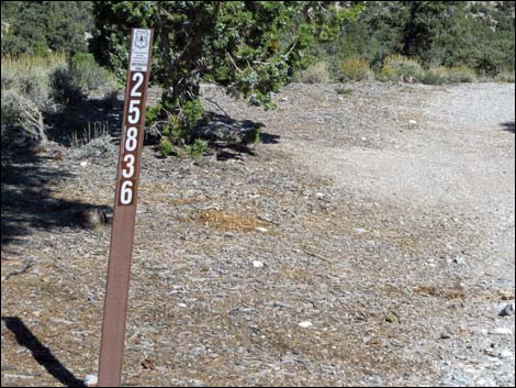 Forest Road 25836 sign (view NE) |
 Lee Canyon Road (view SW) |
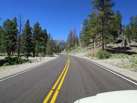
 Lee Canyon Road approaching a directional sign (view SW) |
 Lee Canyon Road at directional sign (view SW) |
 Lee Canyon Road approaching spur road (view SW) |
 Spur road (view N from Lee Canyon Road) |
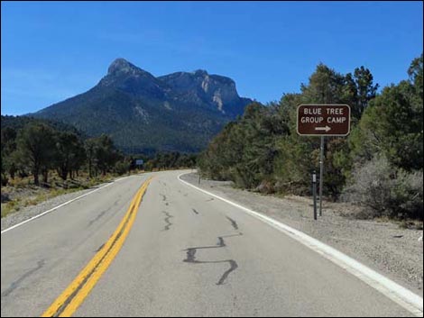 Lee Canyon Road approaching Blue Tree Group Camp (view SW) |
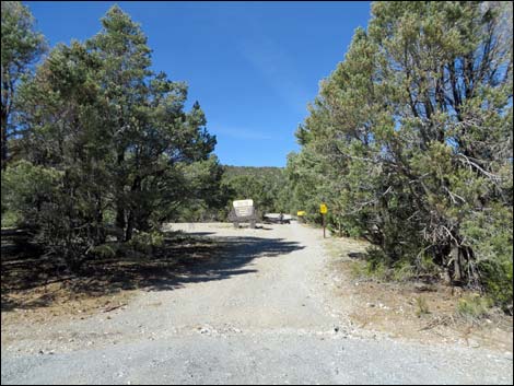 Blue Tree Group Camp Road (view N from Lee Canyon Road) |
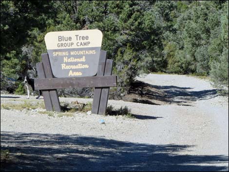 Blue Tree Group Camp sign (view N from Lee Canyon Road) |
 Lee Canyon Road approaching spur road (view SW) |
 Spur road (view N from Lee Canyon Road) |
 Lee Canyon Road approaching information sign (view SW) |
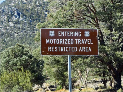 Sign: entering motorized travel restricted zone (view W) |
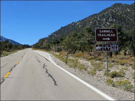 Lee Canyon Road approaching Sawmill Picnic Area Road (view SW) |
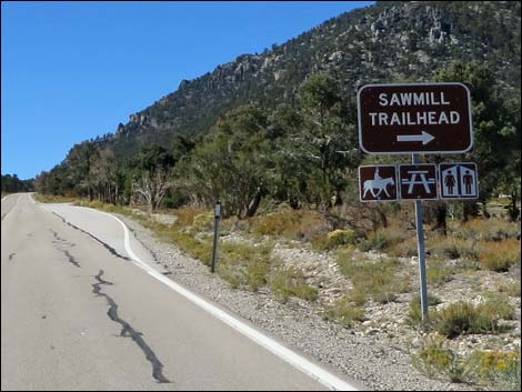 Lee Canyon Road at Sawmill Picnic Area Road sign (view SW) |
 Lee Canyon Road approaching Sawmill Picnic Area Road (view SW) |
 Lee Canyon Road at Sawmill Picnic Area Road (view SW) |
 Sawmill Picnic Area Road (view N from Lee Canyon Road) |
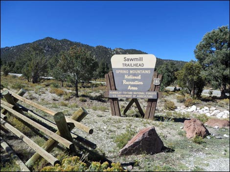 Sawmill Picnic Area entrance sign (view NW) |
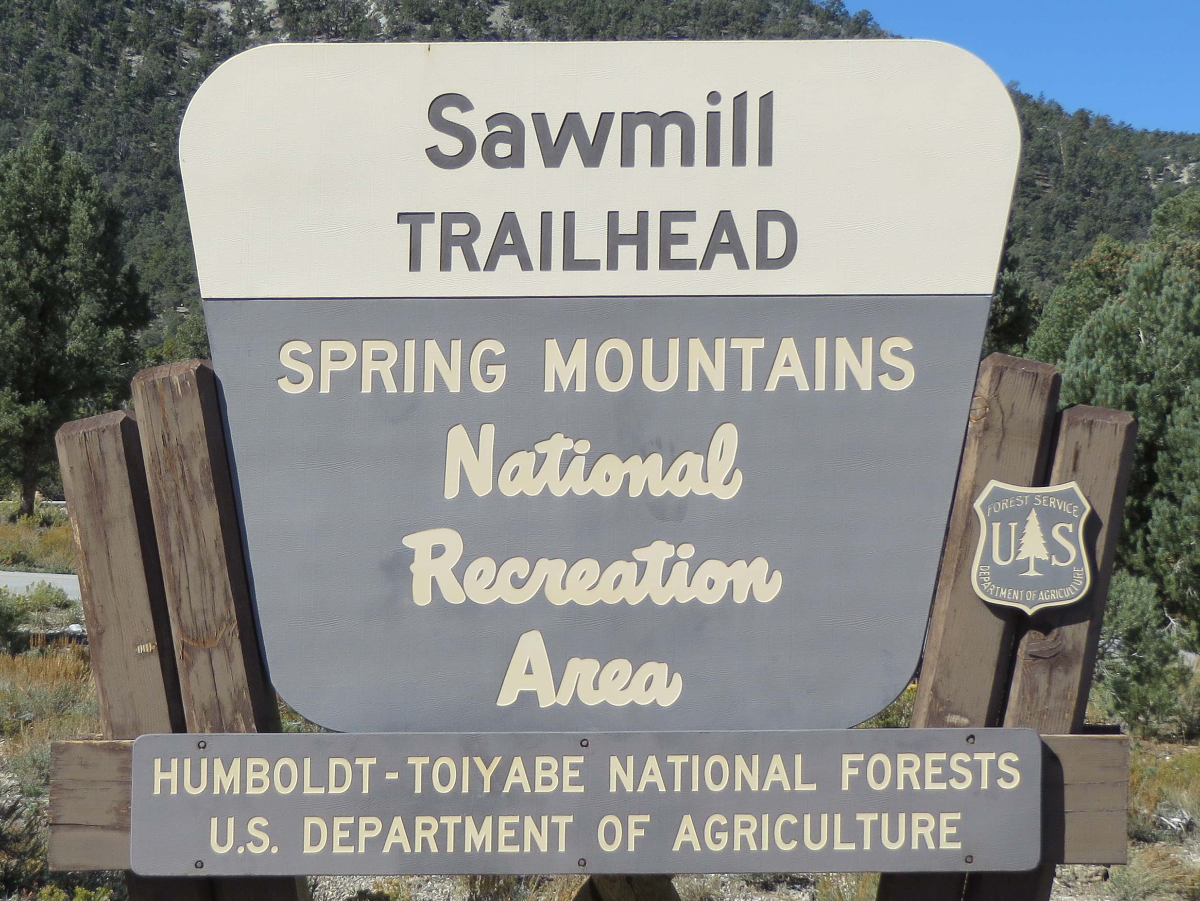 Sawmill Picnic Area entrance sign (view NW) |
 Lee Canyon Road approaching Forest Road 203 (view SW) |
 Forest Road 203 (view S from Lee Canyon Road) |
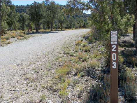 Forest Road 203 sign (view S) |
 Entering the 35 mph zone; NHP watches this area |
 Lee Canyon Road approaching Macks Canyon Road |
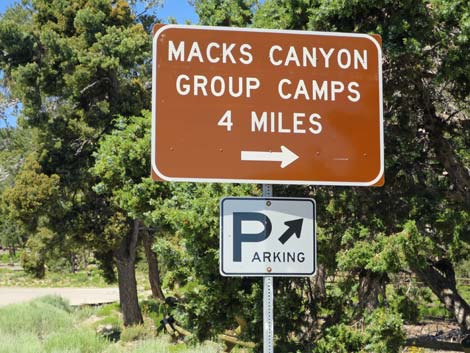 Macks Canyon Road sign |
 Approaching Macks Canyon Road and paved parking area (view W) |
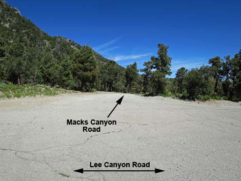 Paved parking area and Macks Canyon Road (view N) |
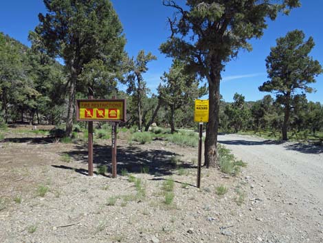 Macks Canyon Road (Forest Road 45073) signs (view N) |
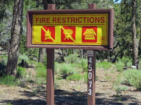 Macks Canyon Road signs; fire restrictions during summer (view N) |
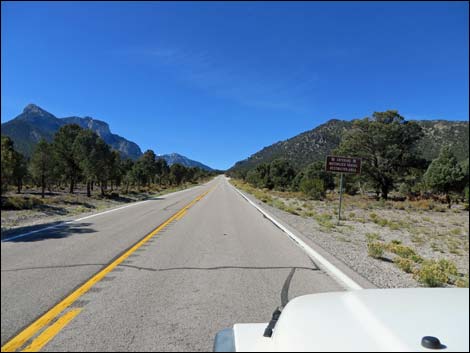
 Mummy Mtn ahead on left (view W) |
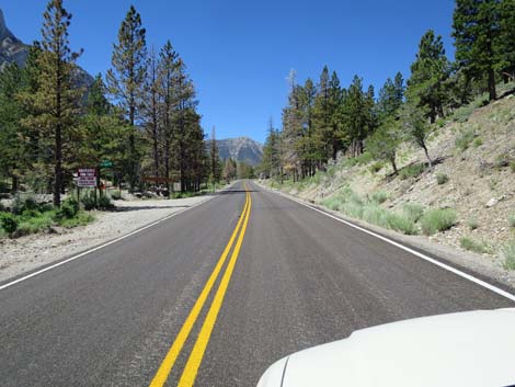
 Lee Canyon Road entering the Ponderosa Pine zone |
 Lee Canyon Road approaching Deer Creek Road (Hwy 158) |
 Lee Canyon Road at directional sign approaching intersection |
 Lee Canyon Road at directional sign (left to Kyle Canyon Road) Lee Canyon Road at directional sign (left to Kyle Canyon Road) |
 Lee Canyon Road at directional signs (view SW) |
 Deer Creek Road (Hwy 158) at Lee Canyon Road (Hwy 156) |
 Lee Canyon Road at directional signs approaching intersection |
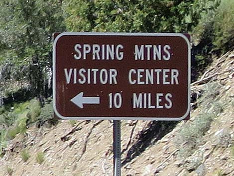 Directional sign (Visitor Center is on Kyle Canyon Road) |
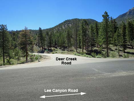 Deer Creek Road (view S from Lee Canyon Road) Deer Creek Road (view S from Lee Canyon Road) |
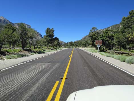
 Lee Canyon Road at Highway 156 sign (view SW) |
 Lee Canyon Road approaching private residential road (view SW) |
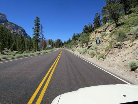
 Lee Canyon Road at 8,000-foot elevation sign (view SW) |
 Lee Canyon Road at gravel storage area (view SW) |
 Lee Canyon Road in the Pine-Fir Forest zone (view SW) |
 Lee Canyon Road approaching Avalanche Trail Road (view SW) |
 Parking in the Ponderosa Pine zone (view SW) |
 Lee Canyon Road approaching Via Salve Regina Street (view SW) |
 Caution: Lee Canyon Road approaching a round-about (view SW) |
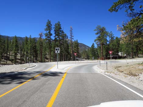 Lee Canyon Road entering 4-way round-about (view SW) |
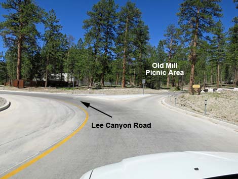 First exit right to Old Mill Picnic Area (view W) |
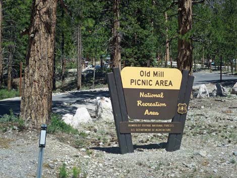 Old Mill Picnic Area sign |
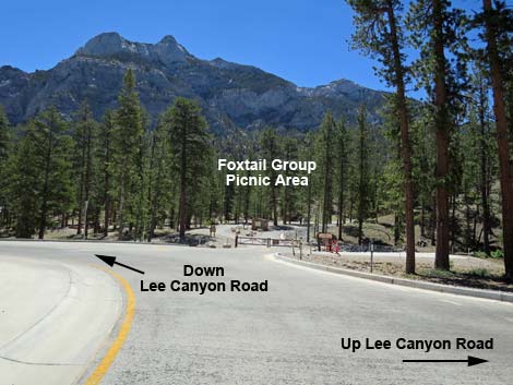 Looking left around the loop at Foxtail Group Picnic Area (view S) |
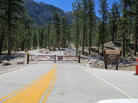 Entrance to Foxtail Group Picnic Area (zoom view S) |
 Lee Canyon Road continues straight up the canyon (view SW) |
 Lee Canyon Road entering Lee Meadows (view W) |
 Lee Canyon Road at Lee Meadows parking (view W) |
 Roadside parking for Lee Meadows area (view SW) |
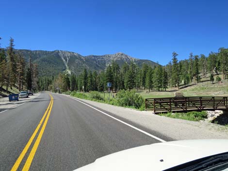 Bridge over gully into Lee Meadows area (view SW) |
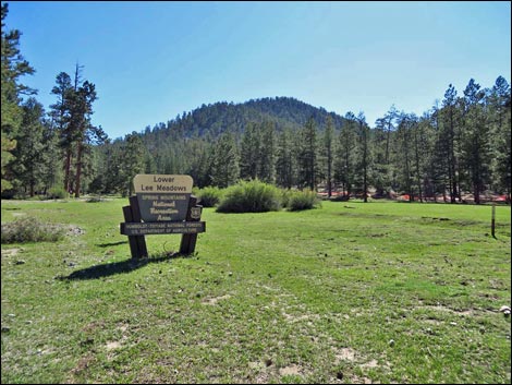 Lower Lee Meadows sign (view SW) |
 Lee Canyon Road approaching Camp Lee Canyon (view SW) |
 Lee Canyon Road at Camp Lee Canyon entrance (not public facility) |
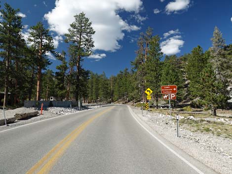 Approaching Lower Bristlecone Trailhead Road, on the right (view W) |
 Approaching Lower Bristlecone Trailhead Road, on the right (view W) |
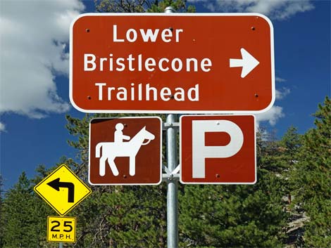 Approaching Lower Bristlecone Trailhead sign (view W) |
 Lower Bristlecone Trailhead Road, on the right |
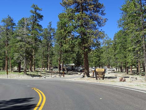 Lee Canyon Road approaching McWilliams Campground entrance |
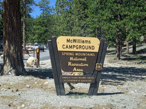 McWilliams Campground sign (view W from Lee Canyon Road) |
 Lee Canyon Road approaching loop and fork (view SW) |
 Lee Canyon Road splits to one-way each direction (view SW) |
 Lee Canyon Road: one-way, one-lane road (view SW) |
 Lee Canyon Road at directional sign (view SW) |
 Lee Canyon Road approaching exit from McWilliams Campground |
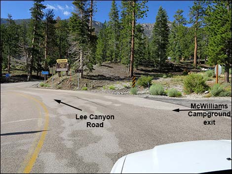 Lee Canyon Road at exit from McWilliams Campground |
 Lee Canyon Road forks at top of loop (view S) |
 Lee Canyon Road forks at top of loop: Lee Canyon Road stays right |
 Lee Canyon Road switchbacks up hillside (curve left ahead) |
 Lee Canyon Road switchbacks up hillside (curve right ahead) |
 Lee Canyon Road entering Lee Canyon Ski Area parking (view SW) |
 Lee Canyon Road approaching entrance to Lee Canyon Ski Area |
 Entrance to Lee Canyon Ski and Snowboard Resort (view SW) |
 Road curves right to Upper Bristlecone Trailhead (view NE) |
 Lee Canyon Road at the lower edge of the Bristlecone Pine zone |
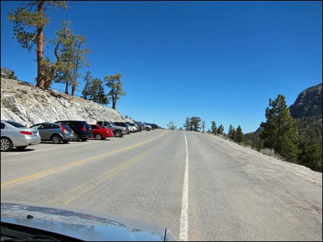
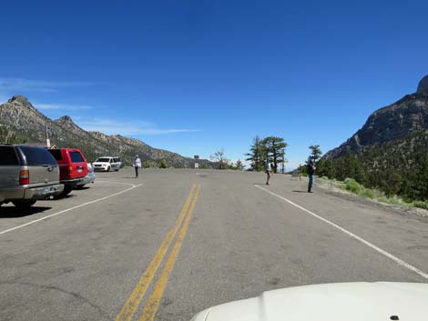 Upper Bristlecone Trailhead Parking at end of the road (view NE) |
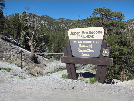 Lee Canyon Road at Upper Bristlecone Trailhead sign (missing) |
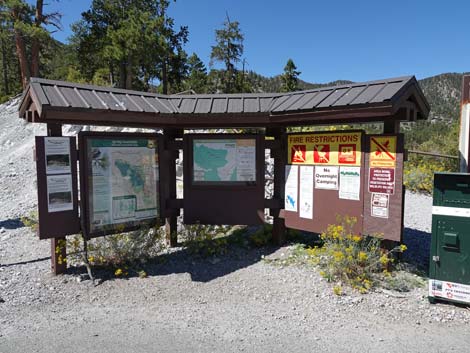 Upper Bristlecone Trailhead information kiosk (view NW) |
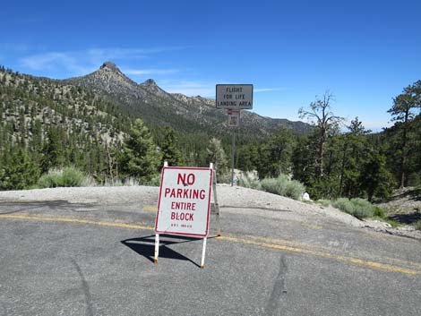 Don't park at end of road: this is Flight-for-Life landing zone |
 More to come ... |
Table 1. Highway Coordinates based on GPS Data (NAD27; UTM Zone 11S). Download highway GPS waypoints (*.gpx) file.
| Wpt. | Location | Latitude (N) | Longitude (W) | Elevation (ft) | Point-to-Point Distance (mi) | Cumulative Distance (mi) | Verified |
|---|---|---|---|---|---|---|---|
| 0668 | Hwy 95 at Hwy 156 | 36.47747 | 115.46718 | 3,300 | 0.00 | 0.00 | Yes |
| 1273 | Lee Cyn Rd at Sawmill Picnic | 36.35495 | 115.63883 | 7,487 | 12.96 | 12.96 | Yes |
| 0729 | Lee Canyon Rd at Mack's Cyn Rd | 36.34963 | 115.64459 | 7,480 | 0.48 | 13.44 | Yes |
| 1272 | Lee Canyon Rd at Deer Creek Rd | 36.34048 | 115.65149 | 7,799 | 0.74 | 14.18 | Yes |
| 0557 | Lee Canyon Meadow | 36.31643 | 115.67435 | 8,450 | 2.13 | 16.31 | Yes |
| 1276 | Lee Cyn Rd at Lower B-cone Rd | 36.31097 | 115.67634 | 8,396 | 0.44 | 16.75 | Yes |
| 0556 | Bristlecone Trailhead Parking, Upper | 36.30639 | 115.67721 | 8,684 | 0.91 | 17.66 | Yes |
Happy Hiking! All distances, elevations, and other facts are approximate.
![]() ; Last updated 240329
; Last updated 240329
| Backroads | Hiking Around Las Vegas | Glossary | Copyright, Conditions, Disclaimer | Home |