Hiking Around Las Vegas, Lake Mead NRA
 |
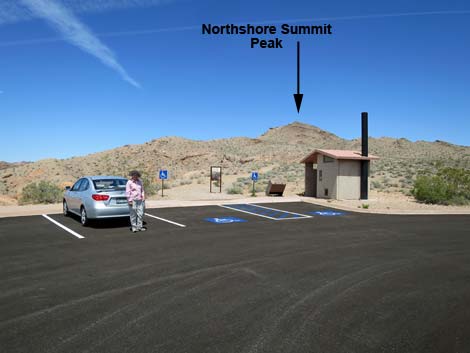
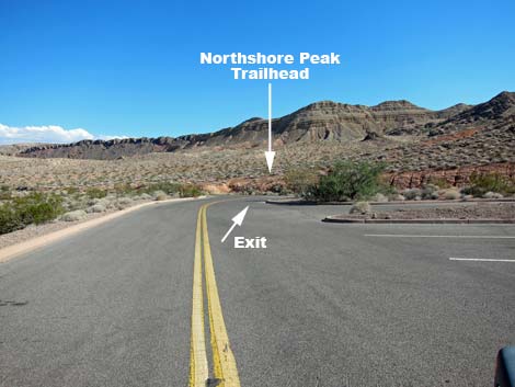
Northshore Mile 20.6 (Northshore Summit) Trailhead is located 20.6 miles out Northshore Road (0.6 miles past Mile Marker 20) in Lake Mead National Recreation Area, about 50 minutes northeast of Las Vegas on the north side of Lake Mead. From town, drive out to Lake Mead. From the intersection of Northshore Road and Lakeshore Road (Table 1, Site 0654), drive north on Northshore Road for 20.6 miles to a spur road (Site 0540) to the left. The spur road leads a few yards to a large parking area (Site 0539). Park here; this is the trailhead. This trailhead provides access to Northshore Summit, Northshore Peak, and the Bowl of Fire (northern section). Link to map. |
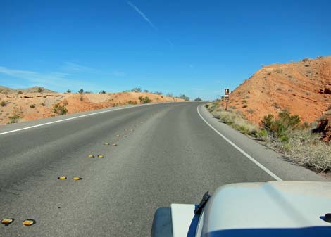 Sign announcing trailhead and scenic view (view E) |
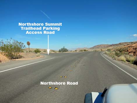 Approaching turnoff (view E) |
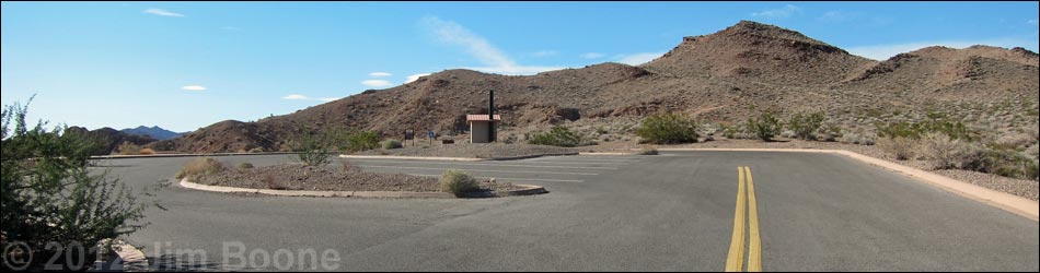
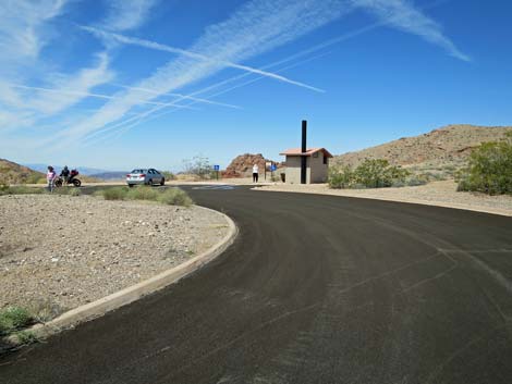
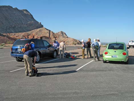
 Entering the parking area (view N) |
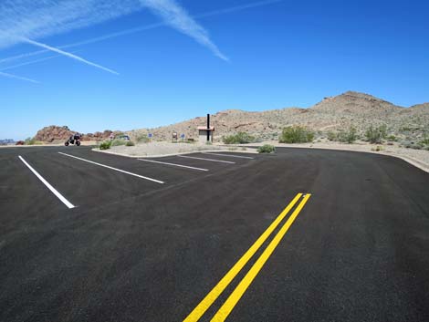
 Arriving in the parking area (view N) |
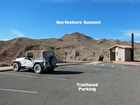
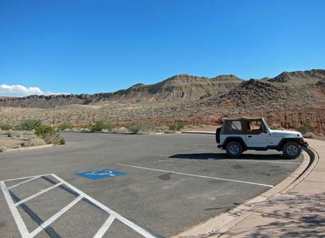
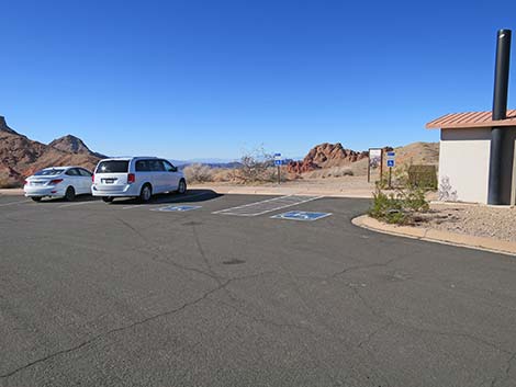 Approaching accessible parking (view W) |
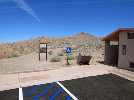
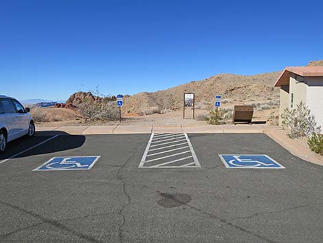 Two accessible parking spots (view NW) |
 Trash cans, toilet, and information sign (view N) |
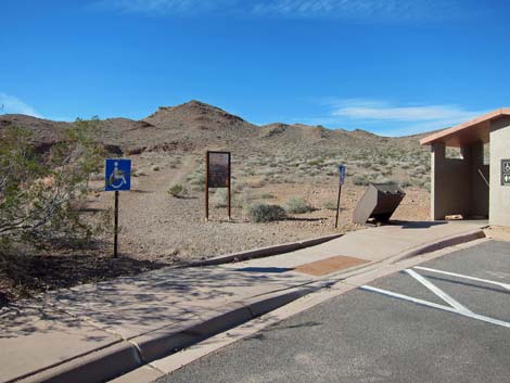 Trash cans, toilet, and information sign (view N) |
 |
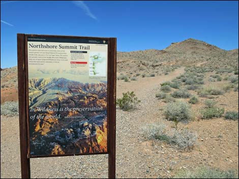 |
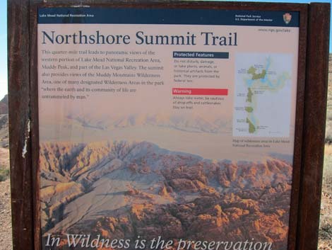 Info sign |
 Hikers preparing to depart trailhead (view W) |
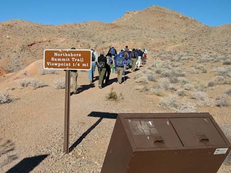 Northshore Summit Trail (sign has been replaced; view N) |
 Parking area (view SE) |
 Departing the parking area (view SE) |
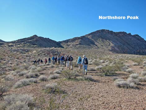 Hikers departing roadside to Northshore Peak (view S) |
Table 1. Highway Coordinates (NAD27; UTM Zone 11S). Download Highway GPS Waypoints (*.gpx) file.
| Site | Location | UTM Easting | UTM Northing | Latitude (N) | Longitude (W) | Elevation (ft) | Verified |
|---|---|---|---|---|---|---|---|
| 0539 | Northshore Summit Parking | 713882 | 4011577 | 36.22723 | 114.62032 | 2,427 | Yes |
| 0540 | Northshore Rd at N-shore Summit Rd | 713938 | 4011532 | 36.22681 | 114.61971 | 2,391 | Yes |
| 0654 | Lakeshore Rd at Northshore Rd | 689139 | 3997939 | 36.10951 | 114.89872 | 1,545 | Yes |
Happy Hiking! All distances, elevations, and other facts are approximate.
![]() ; Last updated 220201
; Last updated 220201
| Hiking Around Lake Mead | Hiking Around Las Vegas | Glossary | Copyright, Conditions, Disclaimer | Home |