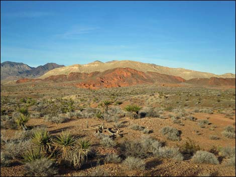
Backroads Around Las Vegas, Gold Butte National Monument
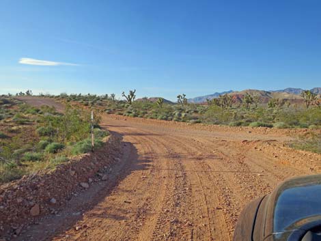
 Freshly graded road intersection in Grand Wash (view W) |
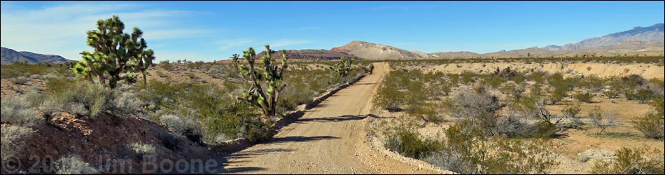
October 2024: the road remains passable in 2WD-HC vehicles. Overview St. Thomas Gap (STG) Road (also called Grand Wash Road) is a 9-mile graded dirt road that runs northwest-southeast between Gold Butte Road in the west and Pakoon Road in the east, which is over in Arizona in Grand Canyon-Parashant National Monument. St. Thomas Gap Road runs across open desert flats and down a sandy canyon, making the east end of the road questionable for 2WD vehicles after storms. This road provides access to no particular destination, but it connects with roads that lead deep into the Arizona Strip on the north side of the Grand Canyon. This road is also part of the Whitney Pocket-Pakoon Spring Loop that starts and ends at Whitney Pocket. Link to road map. |
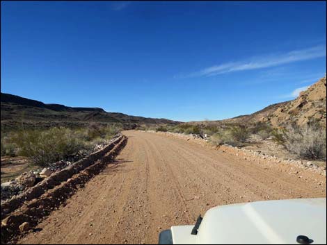
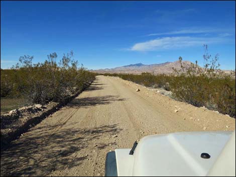
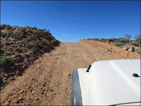
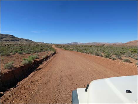
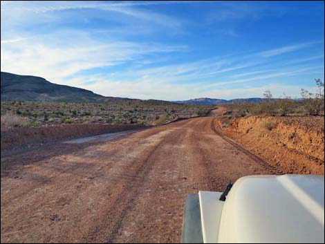
 Starting up St. Thomas Gap Road (view NW) |
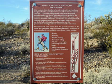
Watch Out Other than the standard warnings about hiking in the desert, ... this road is fairly safe, but it runs into a wild and remote area without services of any kind (no restrooms, no water, no gas, no food). Bring what you need to survive. Be prepared and be self-reliant. Someone will find you eventually if you stay on main roads, but be prepared to survive alone for a day or more on side roads. Cell phones don't work. I drove this road in my jeep using 2WD, but it was reassuring that I could lock in the hubs and continue in 4WD if necessary in the sandy east-end washes. When freshly graded, this area is fine, but it can become soft. Road conditions change; use your own good judgment. While out, please respect the land and the other people out there, and try to Leave No Trace of your passage. Also, this is a remote area, so be sure to bring the 10 Essentials. |
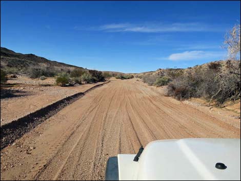
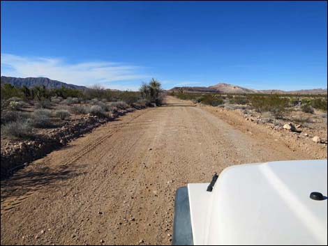
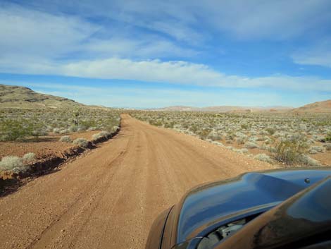
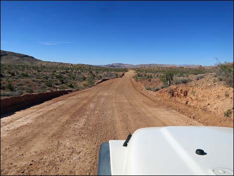
 Freshly graded road (view NW) |
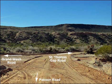
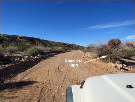
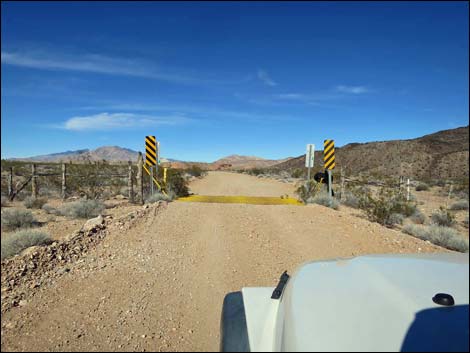
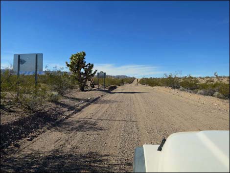
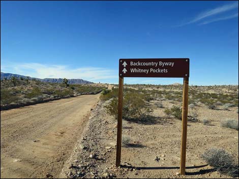
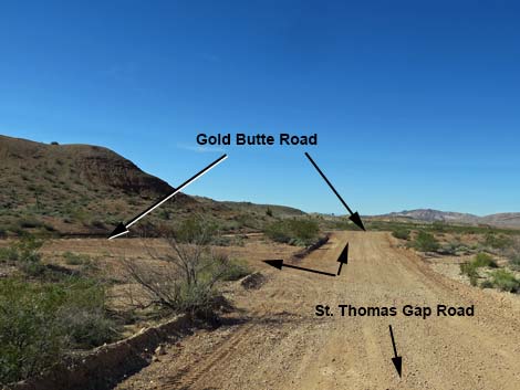
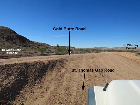
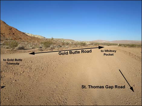
Getting to the Roadhead St. Thomas Gap Road is located out in Gold Butte National Monument northeast of Lake Mead, about 2-1/4 hours northeast of Las Vegas. For the west end of the road, from Las Vegas, drive out to Gold Butte. From the end of the pavement at Whitney Pocket, continue south on the unpaved Gold Butte Road for 9.0 miles to a major fork. The intersection is signed, but the southbound sign was knocked down some years ago; only one 4x4 wooden sign post remains. At the fork, the left is St. Thomas Gap Road, which can be confirmed by driving a few yards farther south on Gold Butte Road and looking back at the road sign. For the east end over in Arizona, drive south on Pakoon Road about 7.2 miles south of Pakoon Spring. At a major fork, stay right and drop into Grand Wash. Staying right in the wash (uphill), the road (marked County Road 113) is St. Thomas Gap Road. |
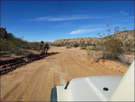
 Out of the sandy wash (view NW) |
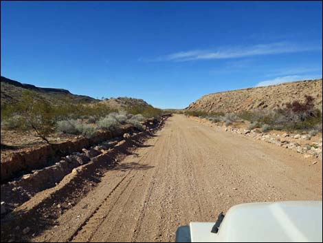
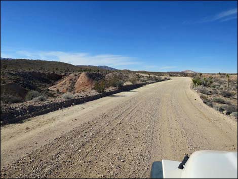
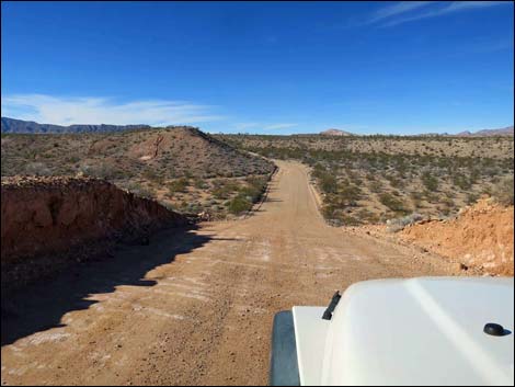
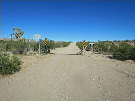
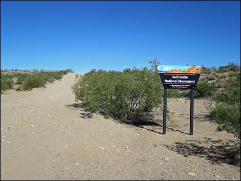
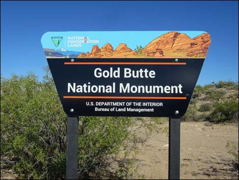
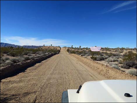
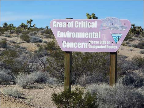
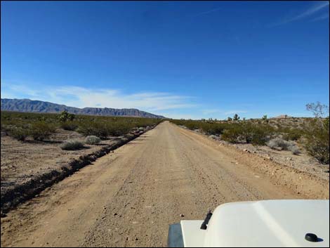
The Road From Pakoon Road (Table 1, Site 1759), St. Thomas Gap Road turns up the sandy Grand Wash. The road runs in and out of the wash for about 1.7 miles before exiting the wash for good and climbing onto broad, open desert flats. At about 1.8 miles out, a cattle guard confirms that the sandy wash is finished. Traversing open desert flats, the road encounters another cattle guard at 3.5 miles out. This is the Arizona-Nevada state line (Site 1760), which is marked with a Grand Canyon-Parashant National Monument entrance sign, primitive road caution signs, a directional sign, and an environmental sign. Now in Nevada, the road continues northwest across desert flats. At about 7.3 miles out, the road forks. Either fork is fine, as they merge only a few hundred yards ahead. Running across low hills, the road ends at an intersection with Gold Butte Road (Site 0796), 9 miles out. |
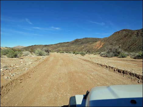
 Back in the sandy wash (view NW) |
 Dropping back into the sandy wash (view NW) |
 Back in the sandy wash (view NW) |
 Cattle guard at 1.8 miles out (view N) Cattle guard at 1.8 miles out (view N) |
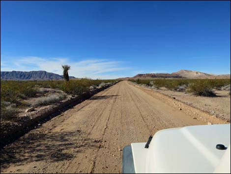
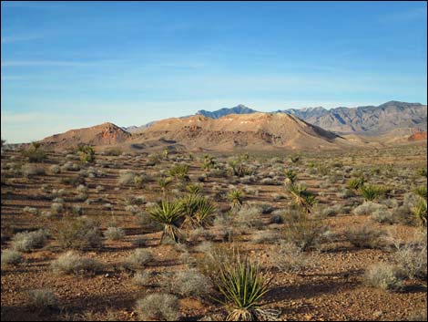
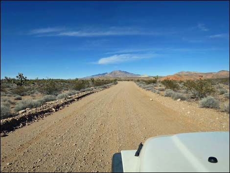 Wide open desert flats (view N towards Virgin Peak) |
 Nice road and undulating terrain (view NW) |
 Dipping through a major wash (view NW) |
 Backside of primitive road caution signs at state line (view NW) |
 Cattle guard at Arizona-Nevada state line (view NW) |
 Gold Butte National Monument boundary sign (view NW) |
 Gold Butte National Monument boundary sign (view NW) |
 Continuing into Gold Butte National Monument (view NW) |
 Approaching a safety information sign (view NW) |
 Safety information sign (view NW) |
 Directional sign at state line (view NW) |
 Directional sign (view NW) |
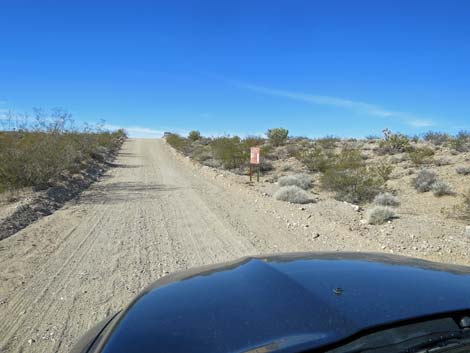
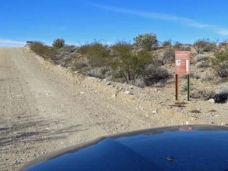
 Approaching Area of Critical Environmental Concern sign (view NW) |
 Watch for desert tortoises crossing the road! |
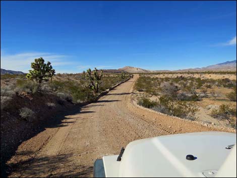
 Grand, open desert flats (view NW towards Tramp Ridge) |
 Tall creosote bushes (view N towards Virgin Peak) |
 Desert flats (view NW) |
 Desert flats (view NW) |
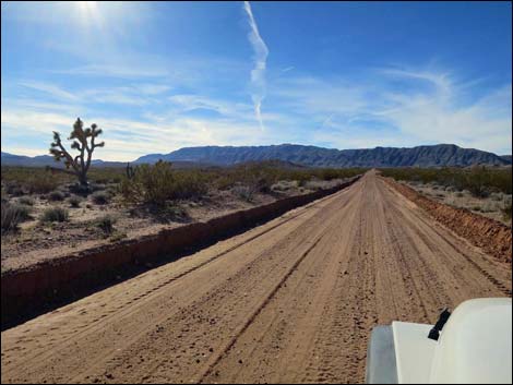
 St Thomas Gap Road (view NW) |
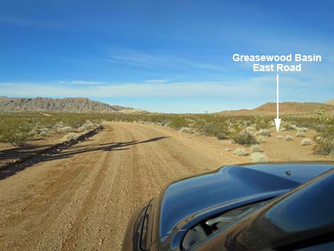 STG Road approaching Greasewood Basin East Road (view NW) |
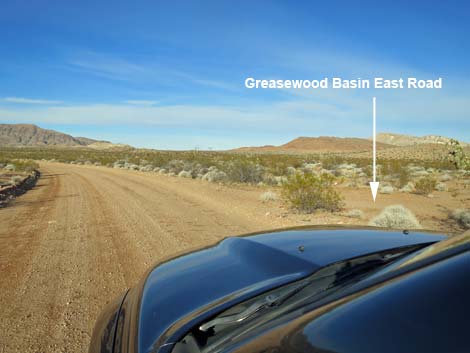 STG Road at Greasewood Basin East Road (view W) |
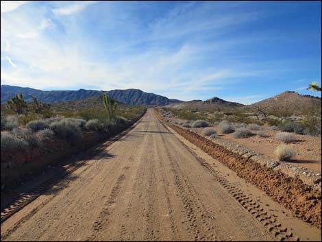
 St Thomas Gap Road (view W) |
 Grand, open desert flats (view W towards Tramp Ridge) |
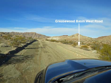 STG Road approaching Greasewood Basin West Road (view W) |
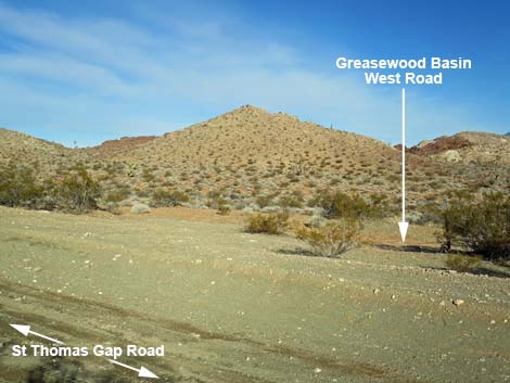 STG Road at Greasewood Basin West Road (view N) |
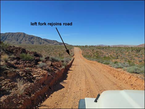
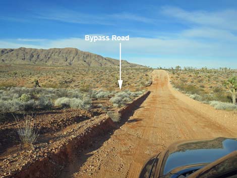
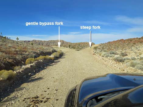 STG Road forks ahead: left is gentle bypass, right is steep (view W) |
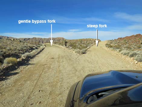 Road forks: left is gentle, right is can't-see-over-the-hood steep |
 Steep, narrow right fork (beware of approaching vehicles) Steep, narrow right fork (beware of approaching vehicles) |
 Top of the ridge; this side isn't so steep, but it is narrow (view W) |
 St Thomas Gap Road approaching the return of the Bypass (view W) |
 St Thomas Gap Road at the return of the Bypass (view W) |
 Gentle fork, returning to main road (view NW) |
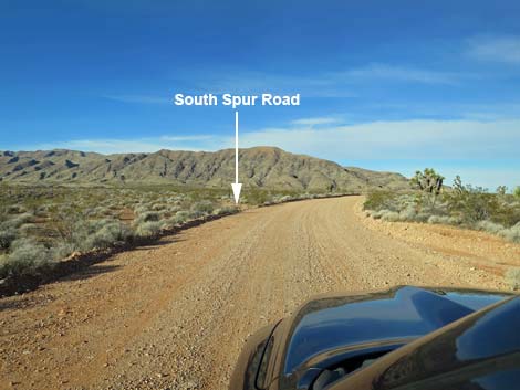 STG Road approaching South Spur Road (view W) |
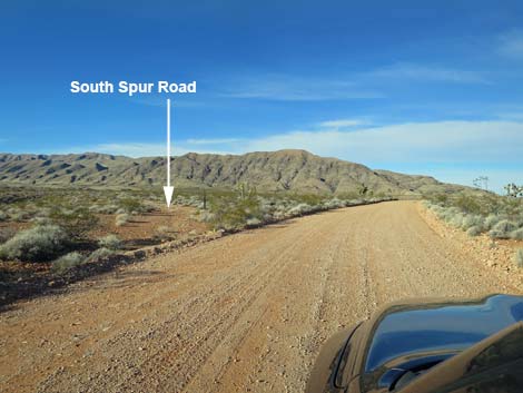 STG Road at South Spur Road (view W) |
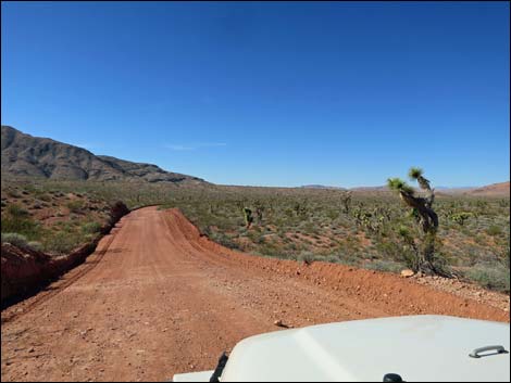 Red soils in mid-day light (view NW) |
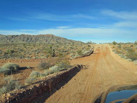
 Wide open road (view NW) |
 STG Road (view NW) |
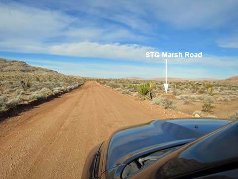 STG Road approaching STG Marsh Road (view NW) |
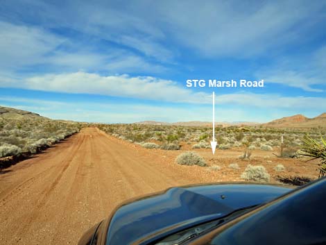 STG Road at STG Marsh Road (view NW) |
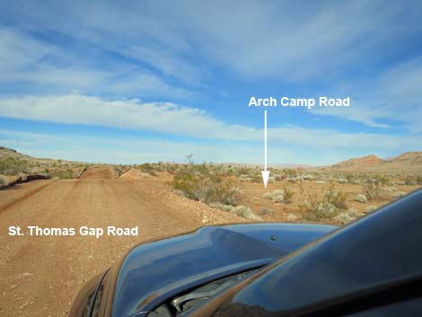 STG Road approaching Arch Camp Road (view NW) |
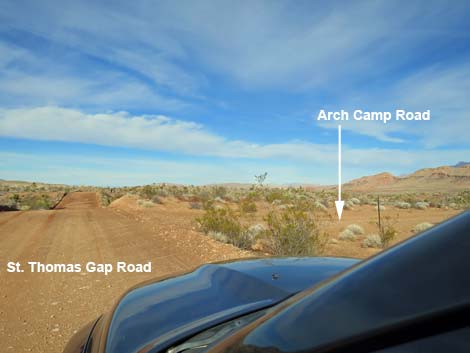 STG Road at Arch Camp Road (view NW) |
 More to come ... |
 Grand scenery (Mud Hills; view NW) |
 Grand scenery (Mud Hills; view N) |
 Gently rolling terrain (view NW) |
 Gently rolling terrain (view NW) |
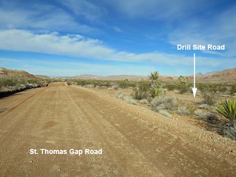
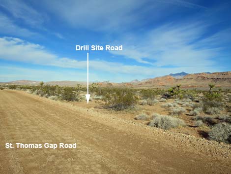 STG Road approaching Drill Pad Road (view NW) |
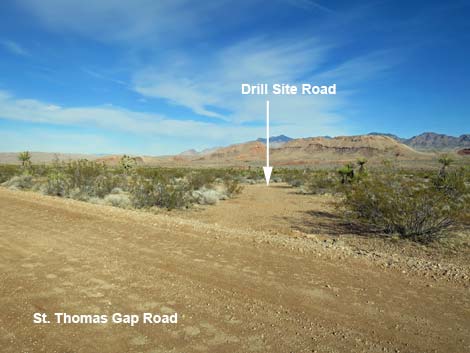 STG Road at Drill Pad Road, east triangle (view NW) |
 Drill Pad Road (view N from STG Road) |
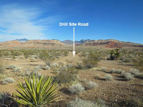
 STG Road approaching Drill Pad Road, west triangle (view NW) |
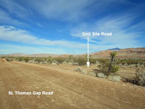 STG Road at Drill Pad Road, west triangle (view NW) |
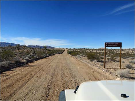
 Approaching directional sign (view NW) |
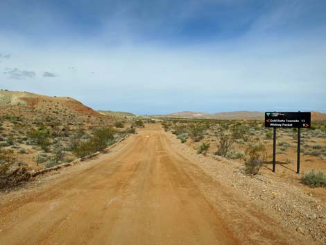 St. Thomas Gap Road at directional sign (view NW) |
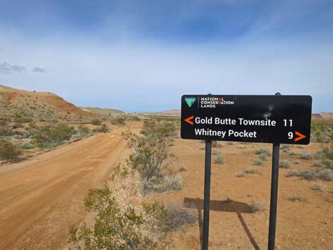 Directional sign (view NW) |
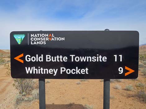 Directional sign near road intersection (view NW) |
 Approaching fork for triangle intersection (view NW) Approaching fork for triangle intersection (view NW) |
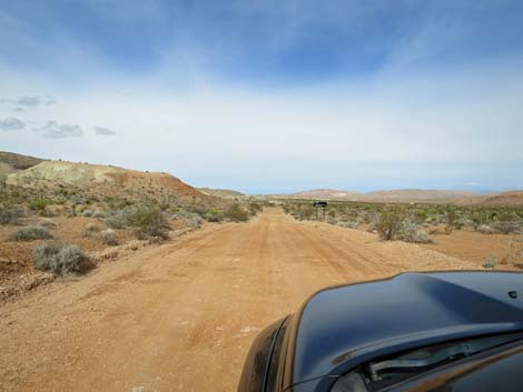
 St. Thomas Gap Road at Gold Butte Road (view NW) |
 St. Thomas Gap Road at Gold Butte Road (view NW) |
Table 1. Highway Coordinates Based on GPS Data (NAD27; UTM Zone 11S). Download Highway GPS Waypoints (*.gpx) file.
| Site | Location | Latitude (N) | Longitude (W) | Elevation (ft) | Point-to-Point Distance (mi) | Cumulative Distance (mi) |
|---|---|---|---|---|---|---|
| 1759 | St Thomas Gap Rd at Pakoon Rd | 36.34606 | 114.00660 | 1,827 | 0.00 | 0.00 |
| 1760 | St Thomas Gap Rd at State Line | 36.38133 | 114.04542 | 2,206 | 3.55 | 3.55 |
| 1846 | St Thomas Gap Rd at Greasewood Bsn East Rd | 36.40270 | 114.07843 | 2,402 | 2.54 | 6.09 |
| 1844 | St Thomas Gap Rd at Greasewood Bsn West Rd | 36.40125 | 114.09687 | 2,514 | 1.03 | 7.12 |
| 0796 | Gold Butte Rd at St Thomas Gap Rd | 36.41359 | 114.12277 | 2,427 | 1.76 | 8.88 |
Happy Hiking! All distances, elevations, and other facts are approximate.
![]() ; Last updated 241217
; Last updated 241217
| Backroads Around Las Vegas | Hiking Around Las Vegas | Glossary | Copyright, Conditions, Disclaimer | Home |