Retracing Footprints back to Falling Man Trailhead
Hiking Around Las Vegas, Gold Butte National Monument
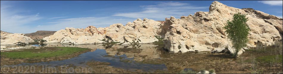
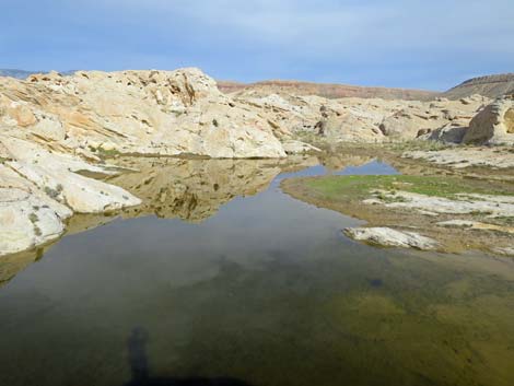 Black Butte Reservoir after a storm (view SE) |
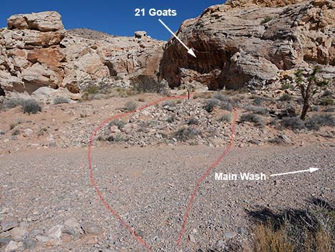
Overview Black Butte Dam was built by cattlemen years ago. The reservoir is filling in with sediment, but it still holds a fair bit of water during wet years. This route is fairly easy, but parts of the route cross rocky areas where the use-trail is faint. The outbound route is described elsewhere, but here photos and text describe the hike from Black Butte Dam to the Falling Man Trailhead. Departing the dam, the route stays right on a use-trail into the main wash, which is followed to the 21 Goats petroglyph site. From there, the route turns north and ascends a rocky gully to the ridgeline above, and then use-trails are followed northeast through the Falling Man area and back to the trailhead. Link to hiking map. |
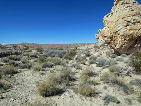
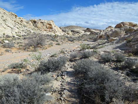
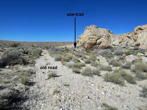 Departing Black Butte Dam; initially, the trail is diffuse (view N) |
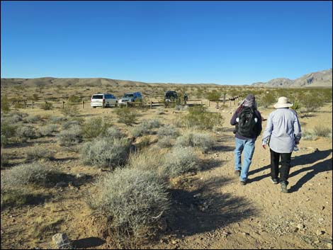
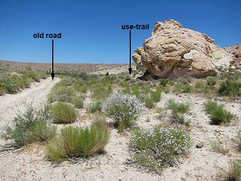 Departing Black Butte Dam (view N) |
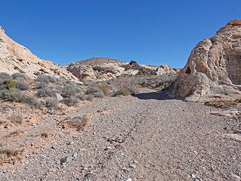
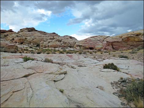
 Approaching first rock outcrop (view N) |
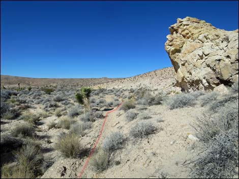 Approaching second rock outcrop (view N) |
 Turning east to head up the wash (view NE) |
 Use-trail passes right of Joshua Tree (view NE) |
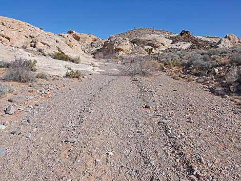
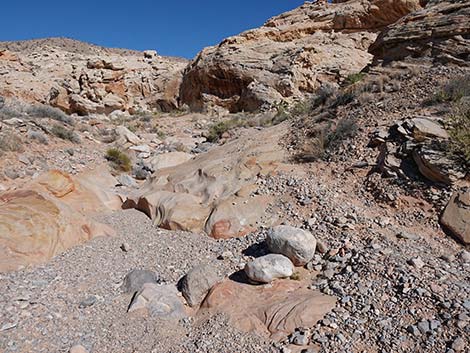
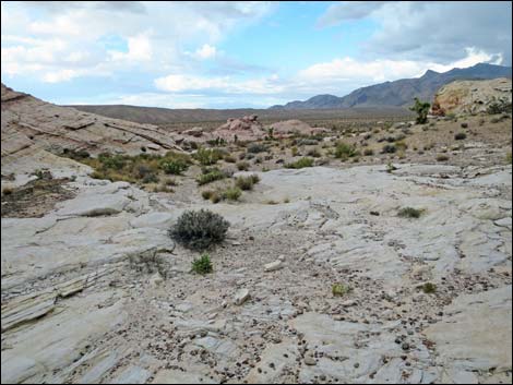
 Use-trail returns to the main wash (view E) |
 Route returns to the main wash (view E) |
 Returning up the wash (view E) |
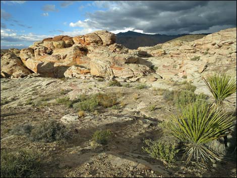
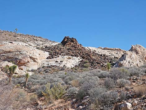 Gold Butte Mini Volcano (note: this is not a volcano; view SE) |
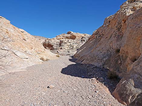 Returning through the narrows (view NE) |
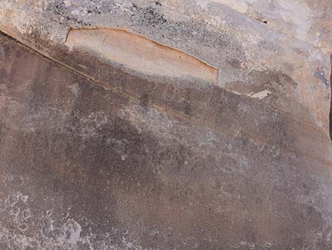 Faint pioneer graffiti |
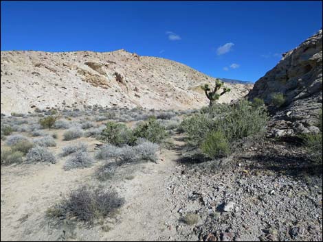
 Passing out of the narrows (view NE) |
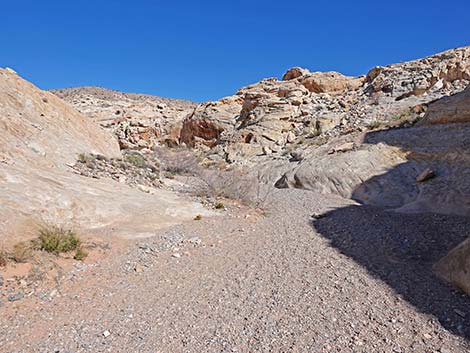
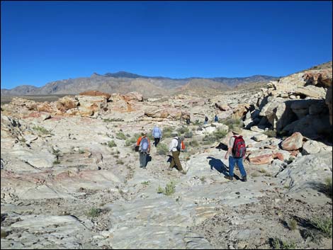
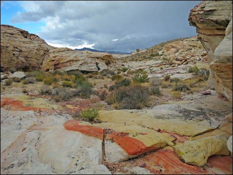
 The main wash bends hard to the left (view NE) |
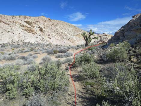
 Hikers can shortcut the loop in the wash (view NE) |
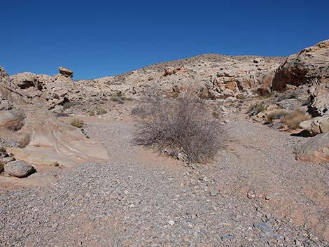
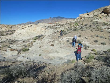
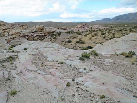
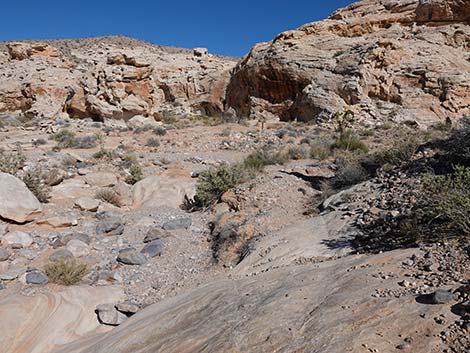 Approaching the main wash again (view NE) |
 Route crosses straight across the wash this time (view NE) |
 Across the wash, route heads up the bank (view NE) |
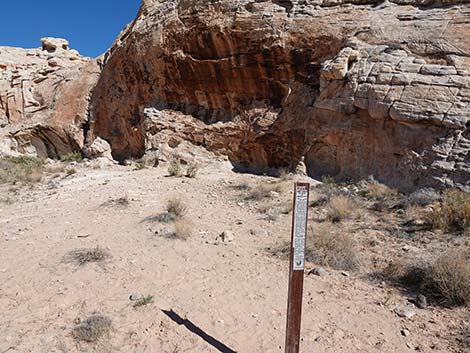 Carsonite sign with information about protecting petroglyphs |
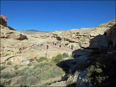
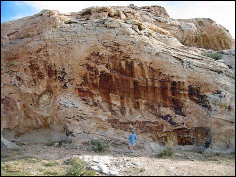 Hiker at 21 Goats panel (view E) |
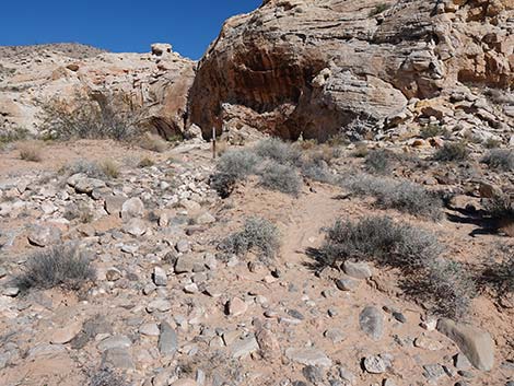
 Exiting the 21 Goats site (view N) |
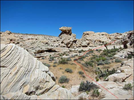
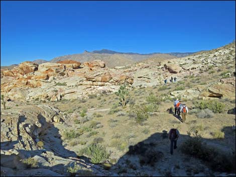
 Hikers climbing back towards ridge (view NE) |
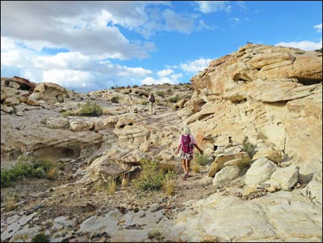 Hikers approaching the top of the ridge (view NE) |
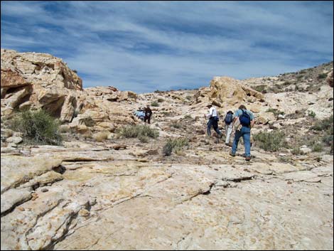
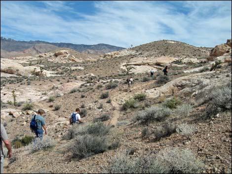 Hikers on use-trails heading towards Falling Man area (view NE) |
 Hikers on use-trails heading towards Falling Man area (view NE) |
 Hikers on use-trails heading towards Falling Man area (view NE) |
 Hikers on use-trails heading towards Falling Man area (view NE) |
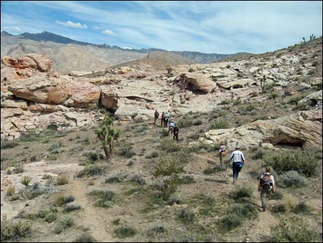 Hikers on use-trails heading towards Falling Man area (view NE) |
 Approaching Falling Man area (view NE) |
 Hikers passing the tinajas (view E) |
 Above tinajas, route bends left through sandy area (view NE) |
 Above tinajas, route bends left through sandy area (view NE) |
 Past sandy area, route turns northeast over slickrock |
 Past sandy area, route turns north over slickrock |
 Hikers passing Falling Man site (view N) |
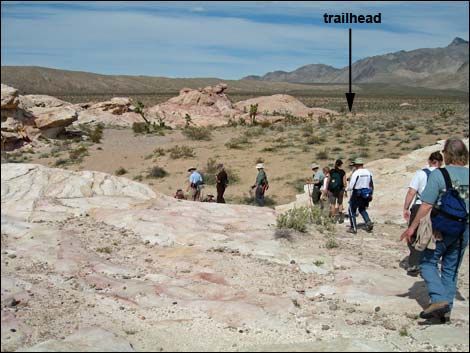
 Hikers returning to the trailhead (view N) |
Table 1. Hiking Coordinates Based on GPS Data (NAD27, UTM Zone 11S). Download Hiking GPS Waypoints (*.gpx) file.
| Site | Location | UTM Easting | UTM Northing | Latitude (N) | Longitude (W) | Elevation (ft) |
|---|---|---|---|---|---|---|
| 07 | Black Butte Dam | 751379 | 4042816 | 2303 | 0.00 | 0.00 |
| 05 | 21 Goats Petro Site | 751672 | 4043074 | 2315 | 0.35 | 0.35 |
| 04 | Low Ridge | 751643 | 4043234 | 2370 | 0.14 | 0.49 |
| 03 | Low Saddle | 751971 | 4043623 | 2426 | 0.34 | 0.83 |
| 02 | End of Old Road | 752065 | 4043799 | 2432 | 0.19 | 1.02 |
| 01 | Falling Man Trailhead | 752138 | 4044187 | 2393 | 0.25 | 1.27 |
Happy Hiking! All distances, elevations, and other facts are approximate.
![]() ; Last updated 240325
; Last updated 240325
| Gold Butte | Rock Art | Hiking Around Las Vegas | Glossary | Copyright, Conditions, Disclaimer | Home |