Backroads Around Las Vegas, Desert National Wildlife Refuge
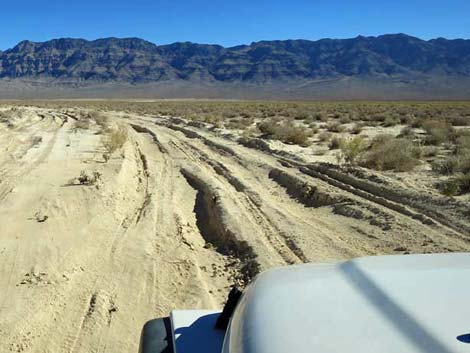 Caution: deep, soft poof-dirt on the playa |
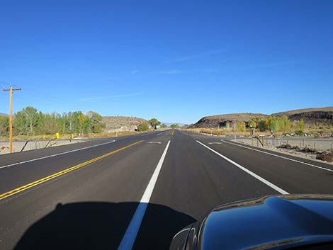
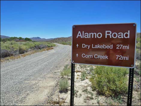
Alamo Road Southbound -- Highway 93 to Desert Sand Dunes Alamo Road, so named because it connects Corn Creek Field Station in the south with the town of Alamo in the north, is a bumpy, 70-mile dirt road that runs north along the west side of the Sheep Range until crossing over near the northern terminus. Perhaps not surprisingly, this road is also called Old Corn Creek Road because, from the northern perspective, it connects Alamo with Corn Creek. Alamo road was closed some 40 miles out because of road conditions, so to visit the north end, drivers had to drive north on Highway 93 almost to Alamo, and then drive back south on Alamo Road. However, the road is now open all the way from Highway 95 to Highway 93. For a detailed description of the entire road, maps, and GPS coordinates, see Alamo Road Southbound. |
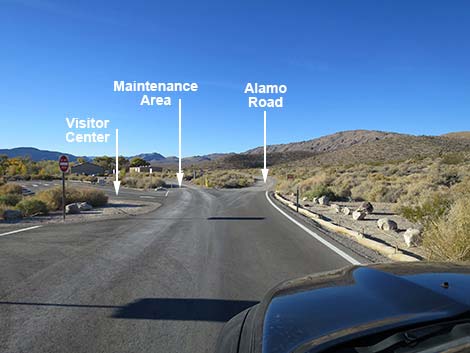
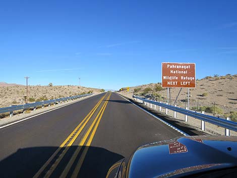 Highway 93 approaching Pahranagat Visitor Center Road (view N) |
 Highway 93 at Pahranagat Visitor Center Road (view N) |
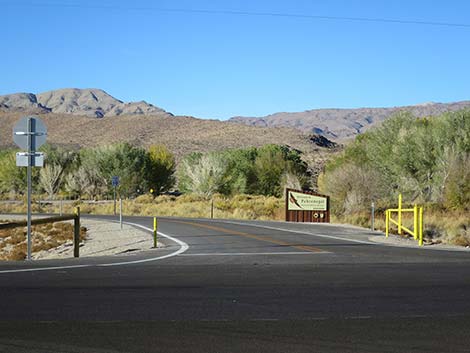 Pahranagat Visitor Center Road (view W from Highway 93) |
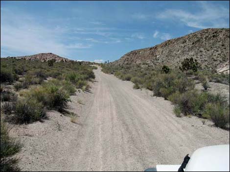
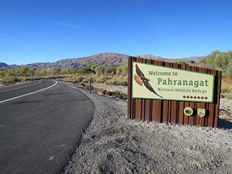 Beginning of Pahranagat Visitor Center Road (view W ) |
 Pahranagat Visitor Center Road (view W) |
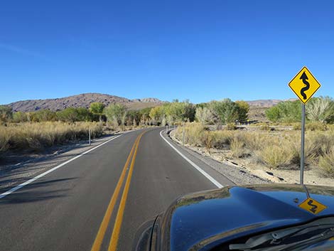
 Narrow road and sharp curve (view NW) |
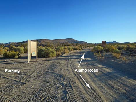
 Pahranagat HQ Road at Alamo Road North (view W) |
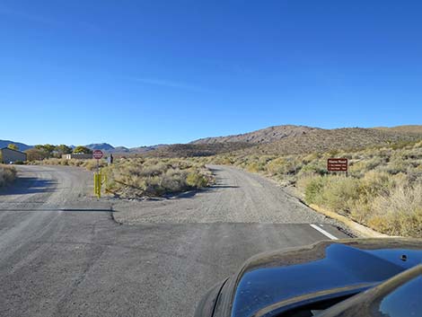 Alamo Road departing the pavement (view SW) |
 Sign at start of Alamo Road North (view SW) |
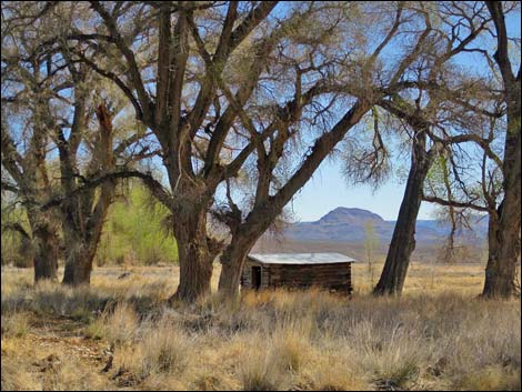 Historic wooden cabin under cottonwood trees |
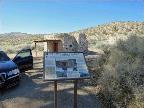 Historic stone cabin and information sign (view NW) |
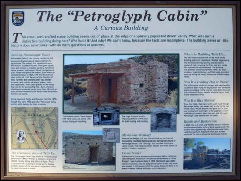 Information sigh at the cabin |
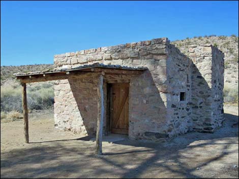 Historic stone cabin (mile 0.73; view N) |
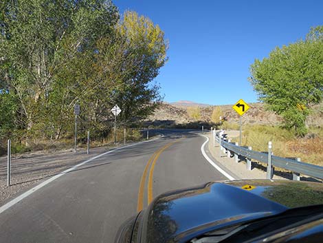
 Skirting the west side of Pahranagat Marsh (view S) |
 Passing Pahranagat Marsh (view S) |
 Parking where Alamo Road leaves Pahranagat NWR (view S) |
 Alamo Road exiting Pahranagat NWR (2.26 miles out, view S) |
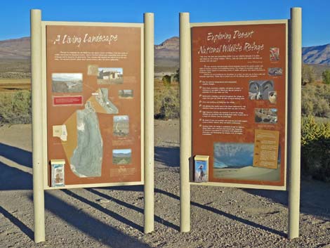 Pahranagat NWR information signs (view E) |
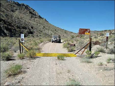
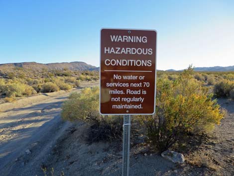 Road sign entering Desert NWR |
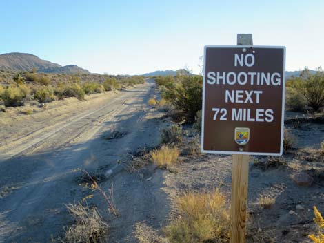 Road sign entering Desert NWR |
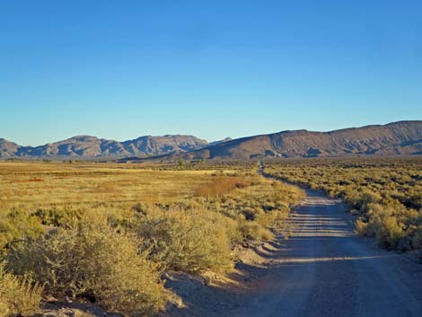
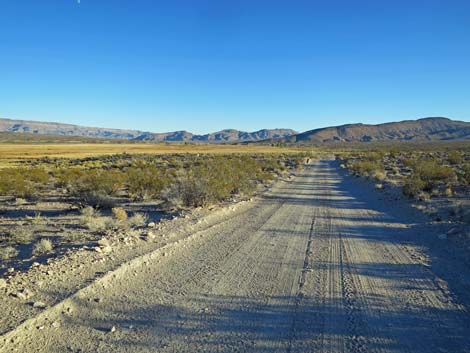
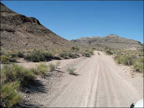
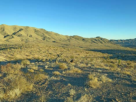
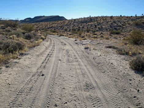
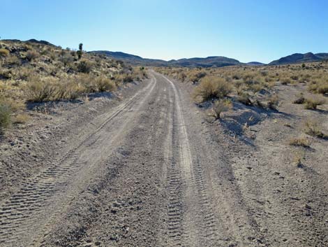
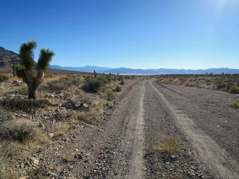
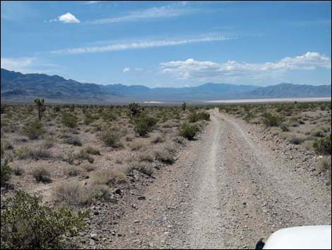
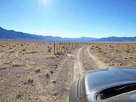
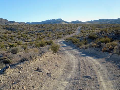 Alamo Road winding across rolling landscape (view SW) |
 Winding across rolling landscape (mile 3.07; view S) |
 |
 |
 |
 |
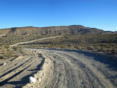
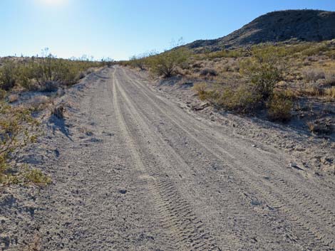
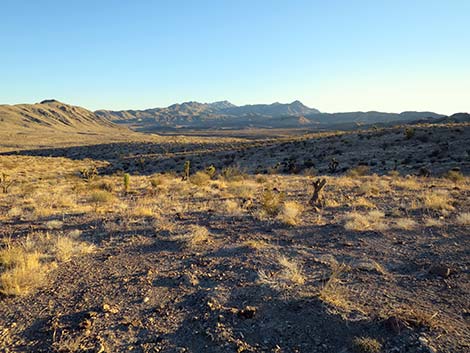
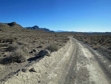
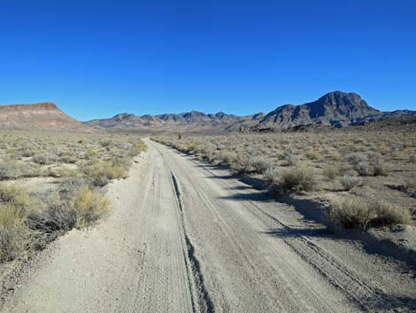
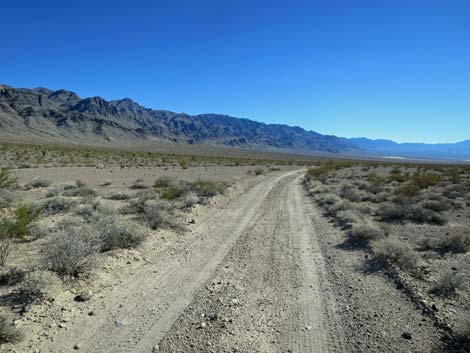
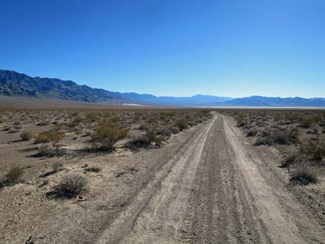
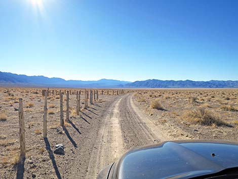
 Alamo Road (mile 4.97; view SW) |
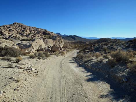
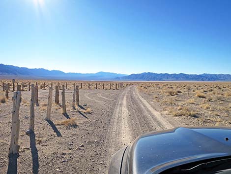
 Old boundary of Desert NWR (mile 6.25; view SW) |
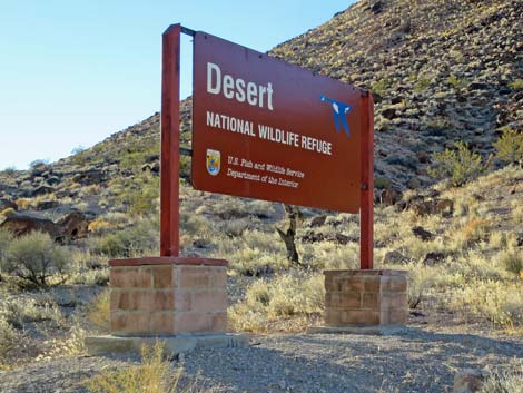 Desert NWR boundary sign (view W) |
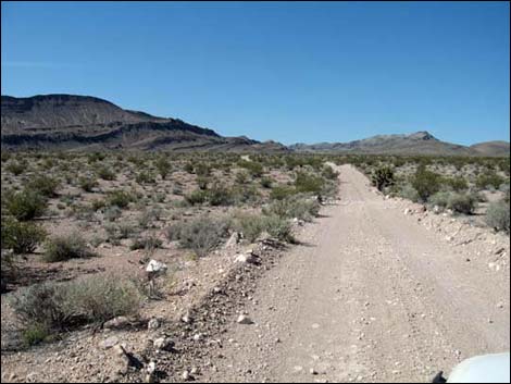
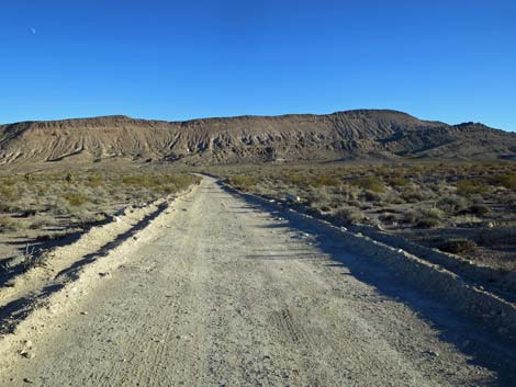
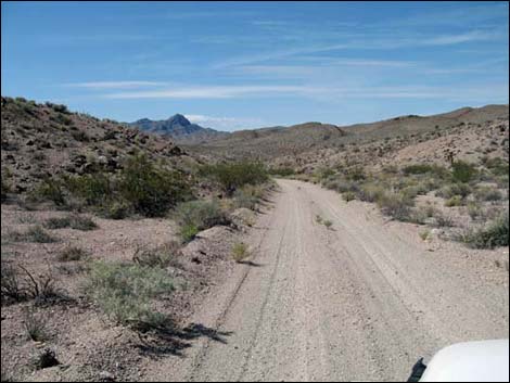
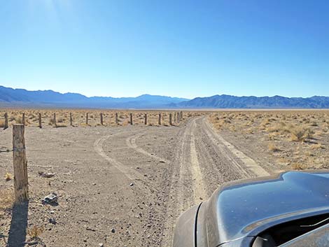
 Alamo Road (view SW) |
 Alamo Road (view W) |
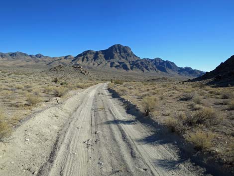
 Alamo Road approaching overlook on the horizon (view W) |
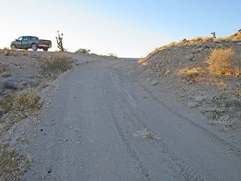
 Alamo Road at overlook spur road (view NW; mile 7.79) |
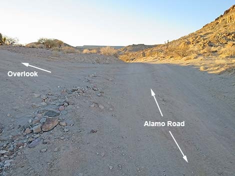
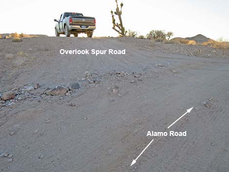 Overlook spur road (view W from Alamo Road) |
 Overlook (view SE) |
 Overlook (view S) |
 Overlook (view N towards Alamo Road) |
 Overlook (view NW towards Alamo Road) |
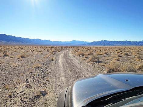
 Approaching an historic intersection Google maps incorrectly indicate a right turn here |
 Alamo Road Mile 8.44 (view S) |
 Alamo Road (view S) |
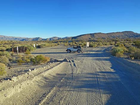
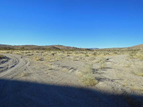
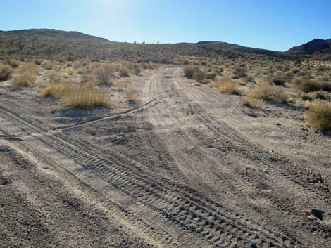
 Parking at an old road intersection (mile 8.57; view S) |
 Parking at closed-road (mile 8.57; view SE) |
 Alamo Road in the shade of a hill (view NW) |
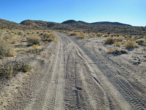
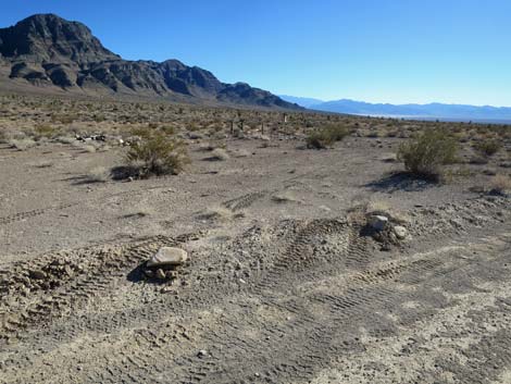
 Alamo Road at little-used road intersection (mile 8.99; view N) |
 Alamo Road (mile 9.17; view W) |
 Alamo Road (mile 9.34; view SW) |
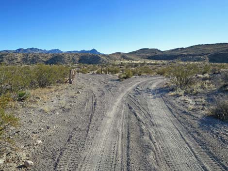
 Alamo Road at Badger Road Connector (mile 9.59; view SW) |
 Badger Road Connector (mile 9.59; view W) |
 Badger Road Connector (mile 9.64; view S) |
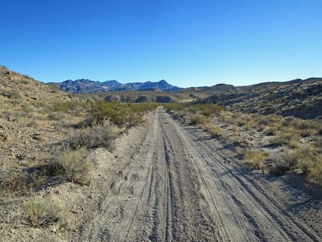
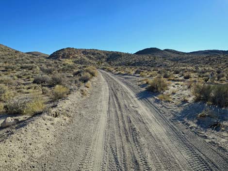
 Alamo Road (mile 10.18; view S) |
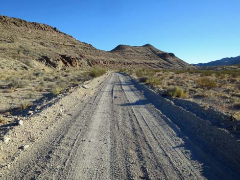
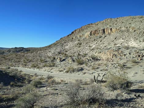
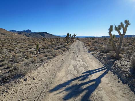
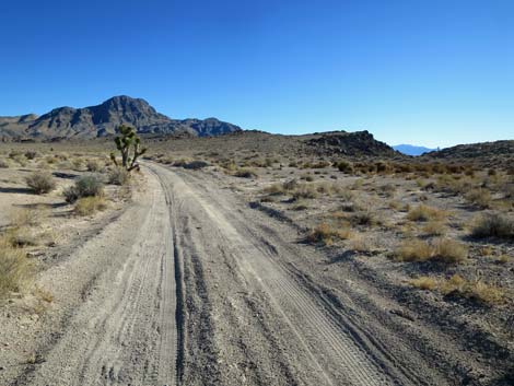
 Alamo Road passing cliffs (mile 10.32; view S) |
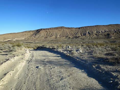
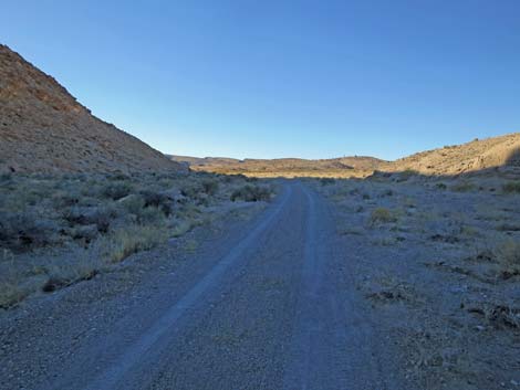
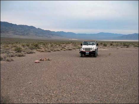
 Alamo Road |
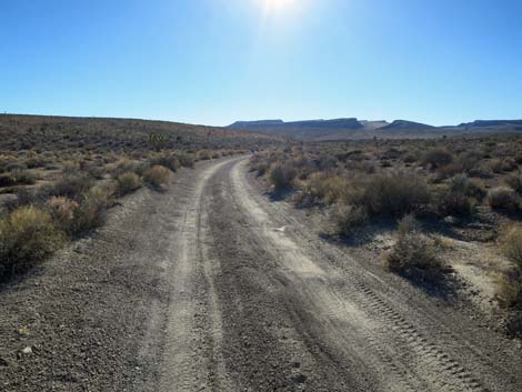
 Alamo Road (mile 10.95; view SW) |
 |
 |
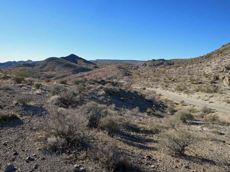
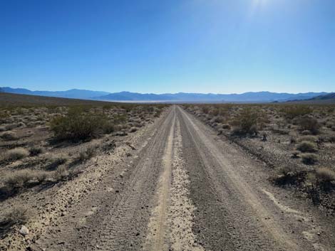
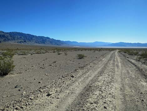
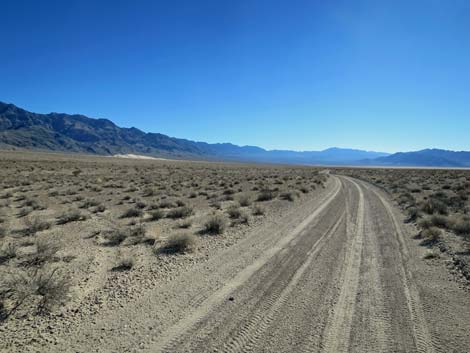
 Alamo Road (mile 13.15; view S) |
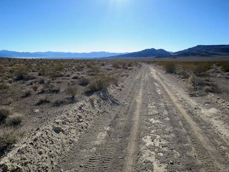
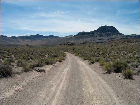 Alamo Road (mile 13.38; view SE) |
 Straight and smooth (view SE) |
 Winding down towards a bumpy patch (view S) |
 Past the bumpy patch (mile 14.10; view SW) |
 Parking for old, closed road (mile 14.14; view S) |
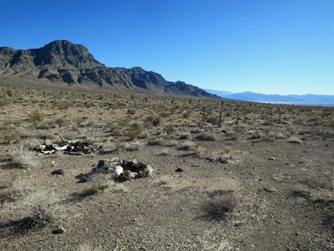 Campsite at parking for old, closed road (mile 14.15; view S) |
 Campsite with a view (mile 14.15; view S) |
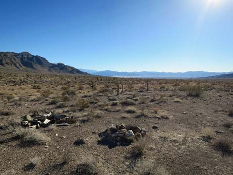
 Second turn for campsite with a view (mile 14.16; view S) |
 Alamo Road (mile 14.72; view SW) |
 |
 |
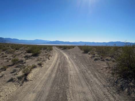 Approaching road intersection (mile 16.51; view S) |
 Road intersection; right is service road only (mile 16.58; view S) |
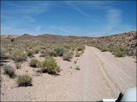
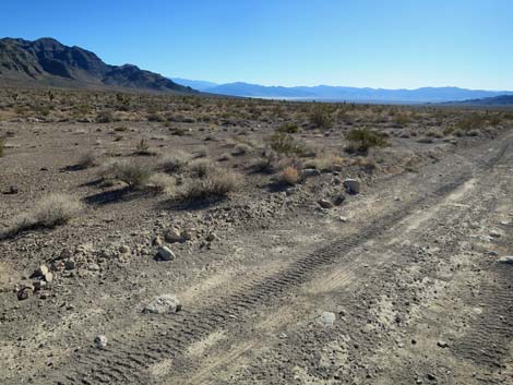
 Alamo Road (mile 17.08; view S) |
 Alamo Road approaching low-impact campsite (view S) |
 Low-impact campsite (mile 17.90; view S) |
 Low-impact campsite (view S) |
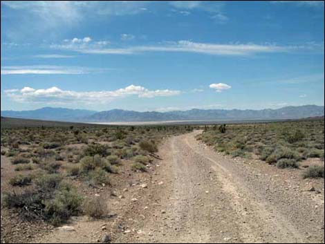
 Alamo Road (view S) |
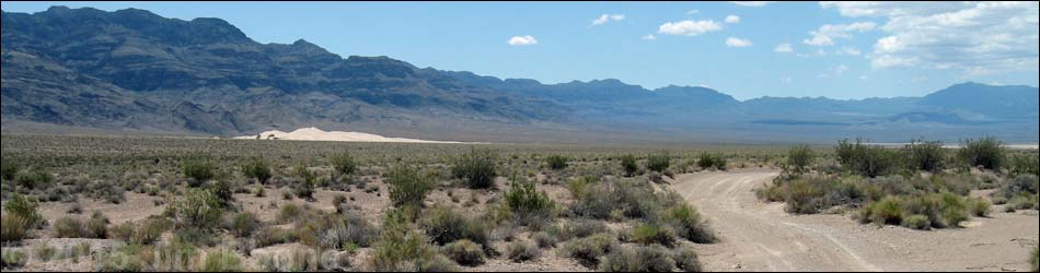
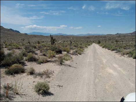
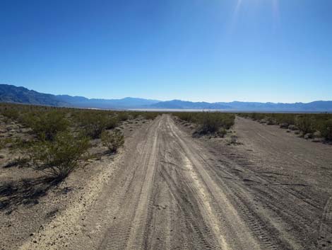
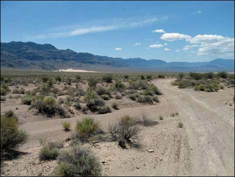 North Dunes in the distance (mile 20.33; view S) |
 North Dunes in the distance (mile 20.38; view S) |
 Approaching North Dunes trailhead parking (mile 21.24; view S) |
 It is illegal to drive off road (view S) |
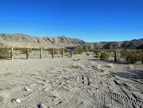
 Arriving at North Dunes trailhead parking (view S) |
 North Dunes trailhead parking (view S) |
 North Dunes trailhead parking (view S) |
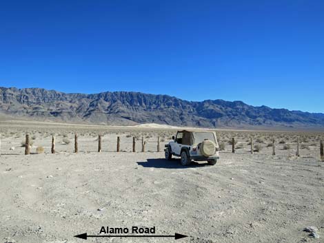 Alamo Road at North Dunes main parking (mile 21.27; view ESE) |
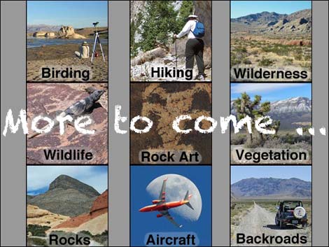 More to come ... |
Happy Hiking! All distances, elevations, and other facts are approximate.
![]() ; Last updated 240324
; Last updated 240324
| Backroads Around DNWR | Hiking Around Las Vegas | Glossary | Copyright, Conditions, Disclaimer | Home |