Hiking Around Las Vegas, Desert National Wildlife Refuge
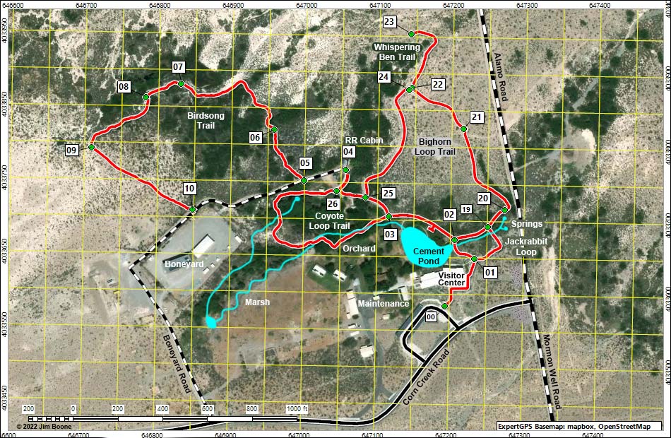
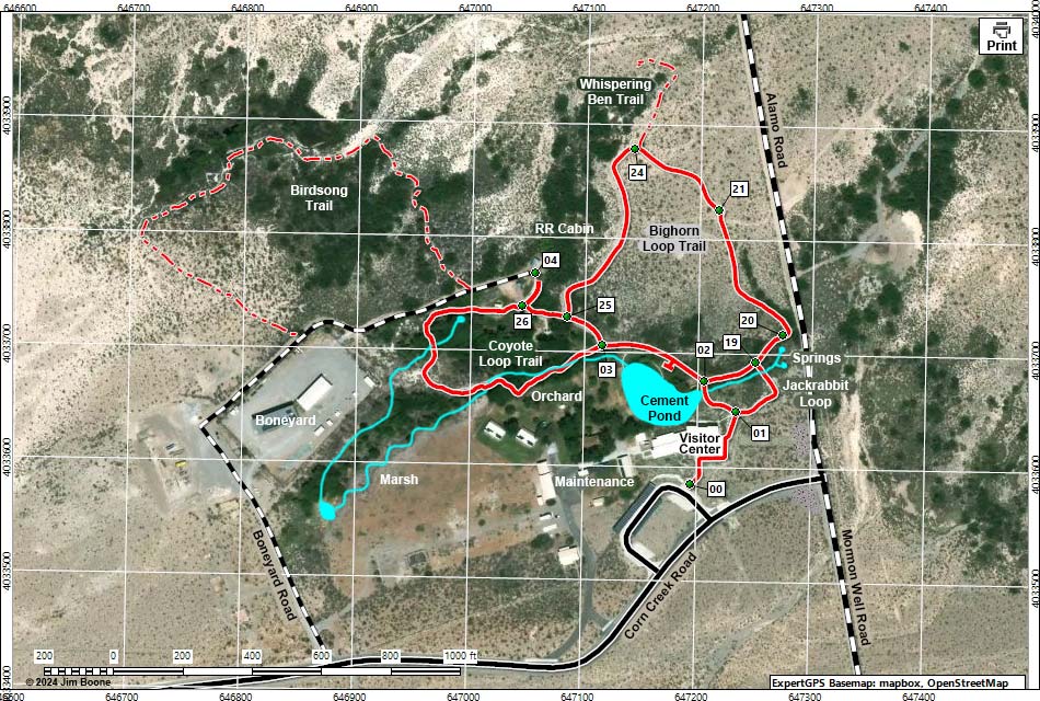
Note: Roads are black (solid = paved; dashed = unpaved). Trails and routes are red (solid = main; dashed = adjacent or alternate). Map based on aerial photo. North is at the top. UTM Grid is NAD27 CONUS. Water is blue; trees and grass are green.
Happy Hiking! All distances, elevations, and other facts are approximate.
![]() ; Last updated 240710
; Last updated 240710
| Area Map | Corn Creek | Hiking Around DNWR | Glossary | Copyright, Conditions, Disclaimer | Home |