Hiking Around Las Vegas, Other Areas
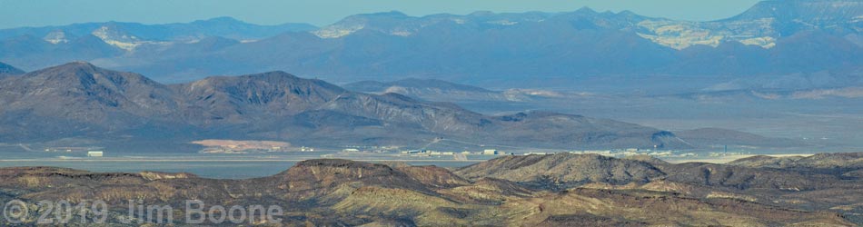
 Departing the summit (view SE) |
Overview Tikaboo Peak is a short, but fairly tough 1.1-mile hike leads to one of the quintessential Las Vegas hiking experiences: a view into Groom Lake and the secret military base at Area 51. The government still claims that Area 51 doesn't exist and that they don't fly captured alien spacecraft from there, but hike up and take a look for yourself. The facilities are 26 air-miles to the west, so bring high-powered optical equipment and get an early start to ensure that the sun is low and at your back for optimal viewing. Even if you don't see any UFOs, the views are spectacular and give the impression of being on top of the world. Presented here are photos of the descent. For a detailed description of the route, including directions, maps, GPS coordinates, and photos, see Tikaboo Peak. |
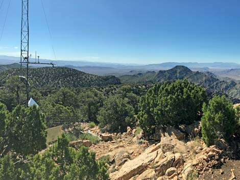
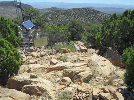 The route starts down right of the weather station (view E) |
 Descending past the weather station (view E) |
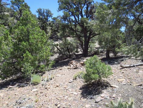
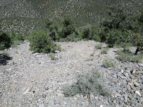
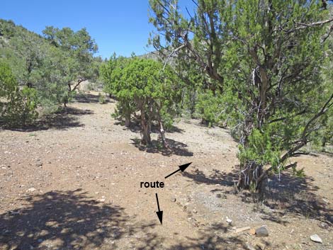
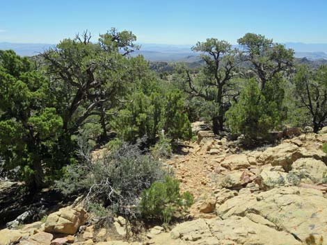 The route descends towards the campsites below (view SE) The route descends towards the campsites below (view SE) |
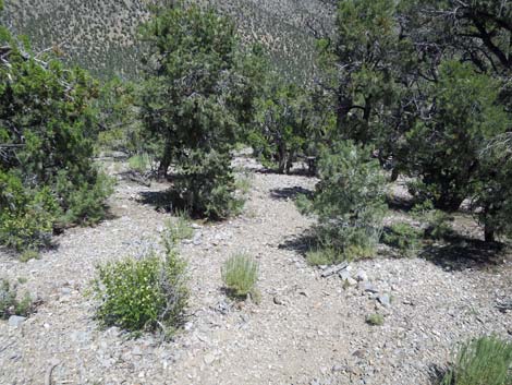
 Approaching the campsites below (view SE) |
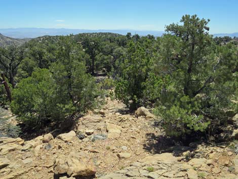
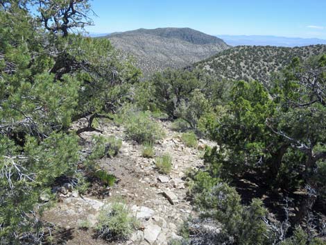
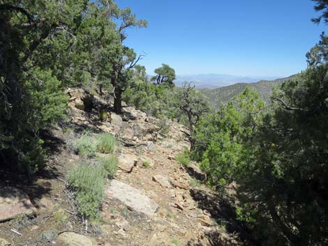
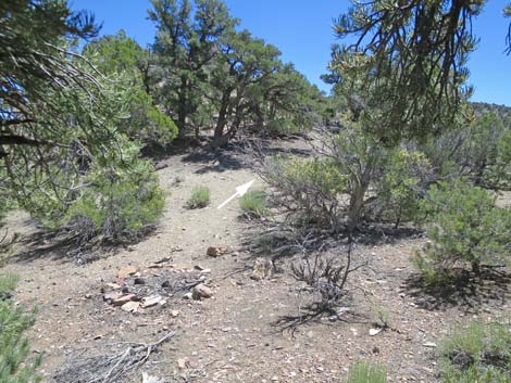
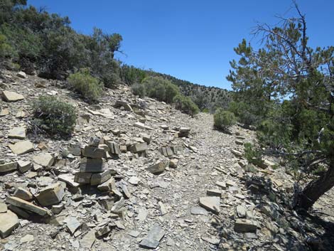
 The route negotiates obstacles past the campsites (view SE) |
 Finally, a bit of trail leads through the bushes (view S) |
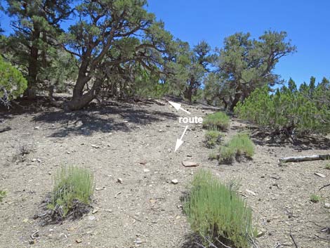
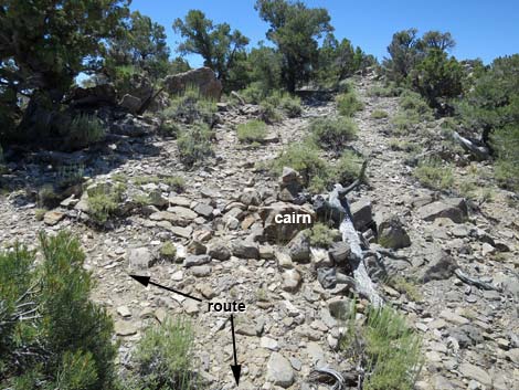 Route arrives at large cairn; turns left (view S) |
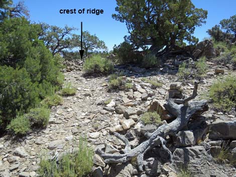 At large cairn, route turns left towards crest of ridge (view E) |
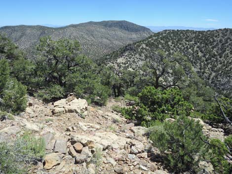
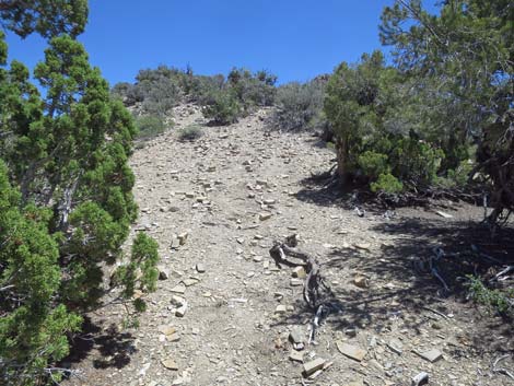
 Crest of ridge (view E) |
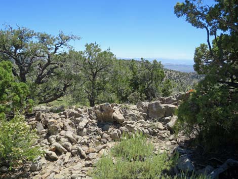
 Atop crest of ridge, route heads down rocky slope (view E) |
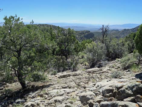
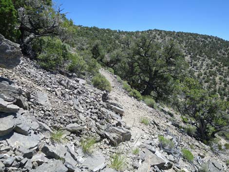
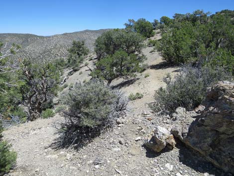
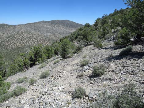
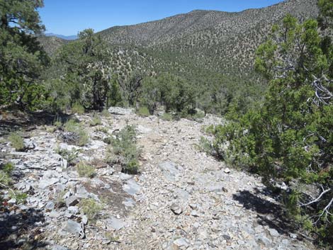
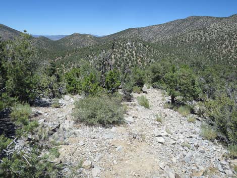
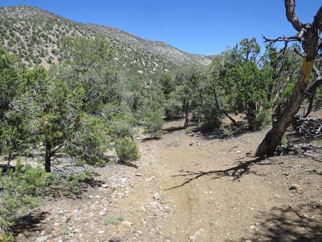
 Parts of the trail are easy to follow (view NE) |
 Parts of the trail are obscure with cairns (view NE) |
 |
 |
 |
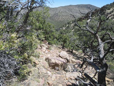 |
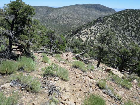
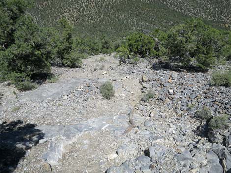
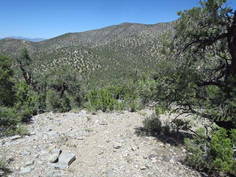
 Trail arrives atop rocky face above the saddle (view NE) |
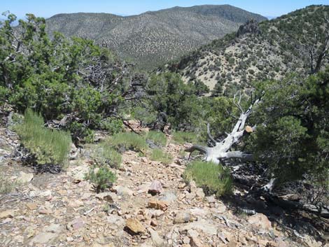
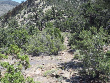
 Below the rocky face, trail drops past campsites into saddle (view E) |
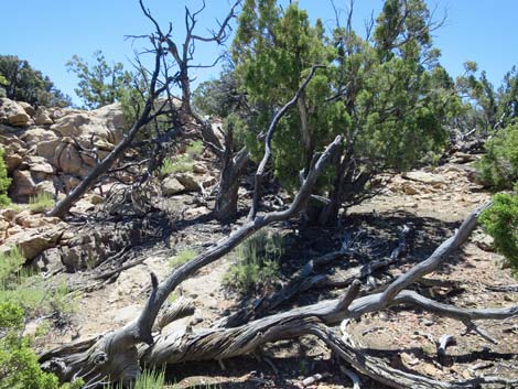
 Route crosses fire-ring, goes under tree, crosses another fire-ring |
 Under tree, then crosses another fire-ring and heads up slope |
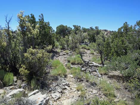
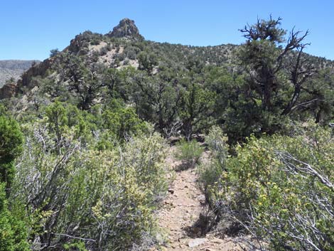
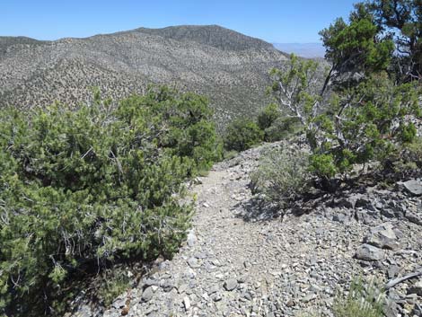
 Trail winds through tree to head up ridge (view SE) |
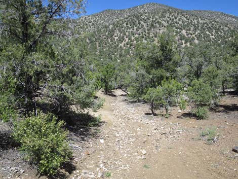
 Route heads up ridge (view E) |
 At cairn, trail turns right to traverse slope (view SE) |
 Route traverses the slope (view SE) |
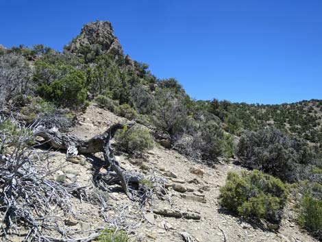 Approaching the rocky knob (view E) |
 Route begins to climb steeply towards the rocky knob (view E) |
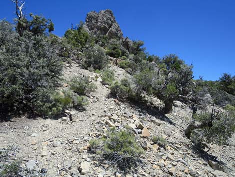
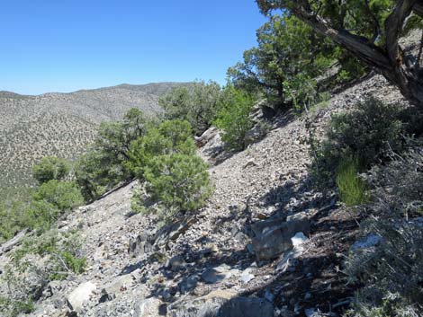
 Traversing rocky slope (view E) |
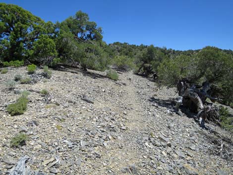
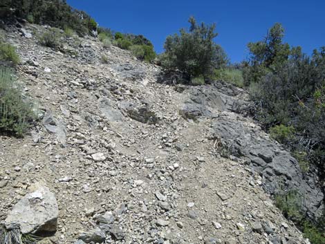 Steep, loose gravel and rocks on trail (view NE) |
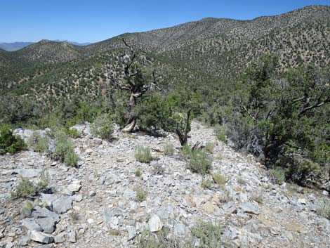
 Trail steeply returning to the crest of the ridge (view NE) |
 Trail arrives at crest of the ridge (view NE) |
 At the crest, route starts up north side of ridge (view NE) |
 Route runs onto south side of the ridge (view E) |
 Route runs onto south side of the ridge (view E) |
 Trail returns to crest of the ridge (view NE) |
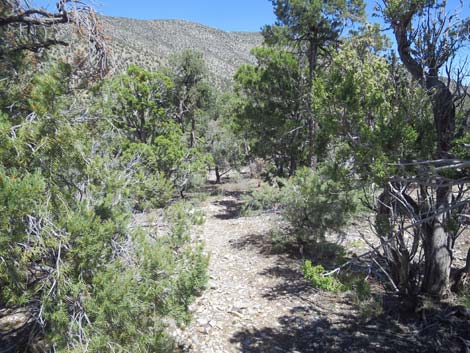
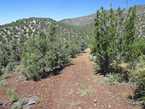
 Trail descends across north-facing slope (view E) |
 Trail descends across north-facing slope (view E) |
 Trail descends across north-facing slope (view E) |
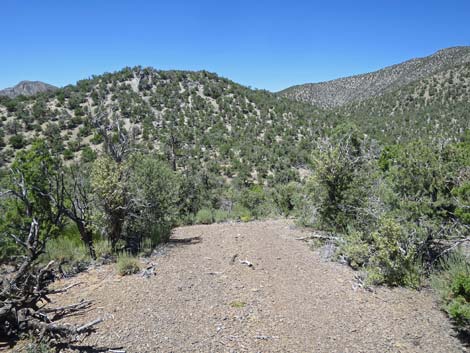
 Trail approaching the end of the traverse (view E) |
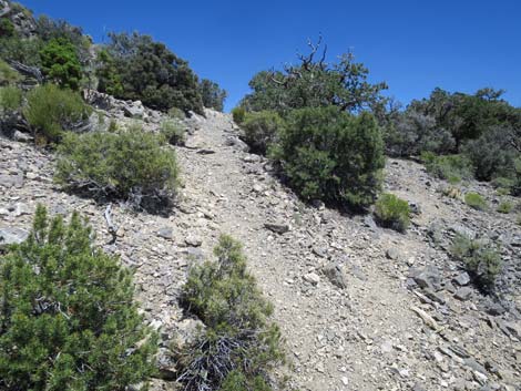
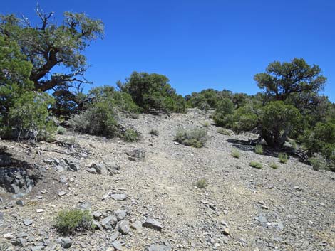
 Trail turns steeply down rocky, loose slope (view NE) |
 Trail descends steep, loose slope (view NE) |
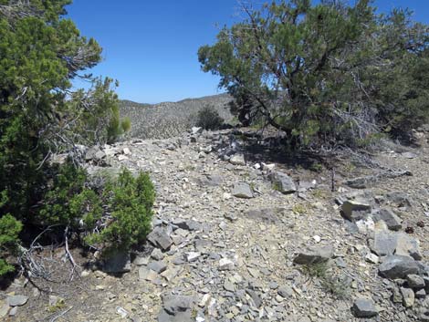
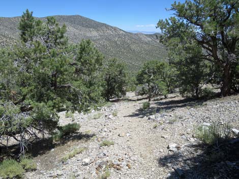
 Eventually the grades moderate (view NE) |
 Descending the steep hillside (view NE) |
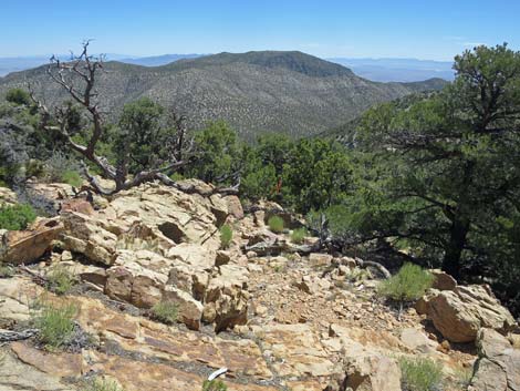
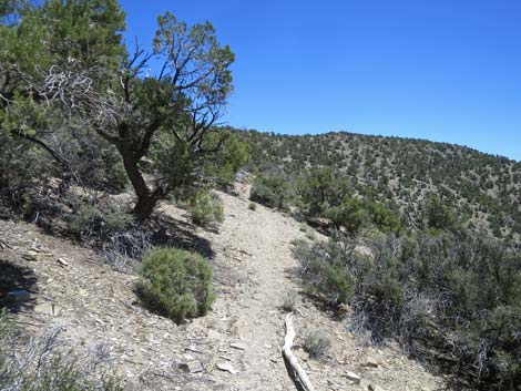
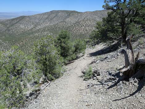
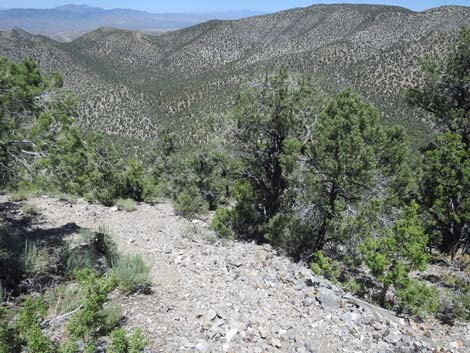
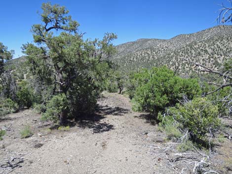
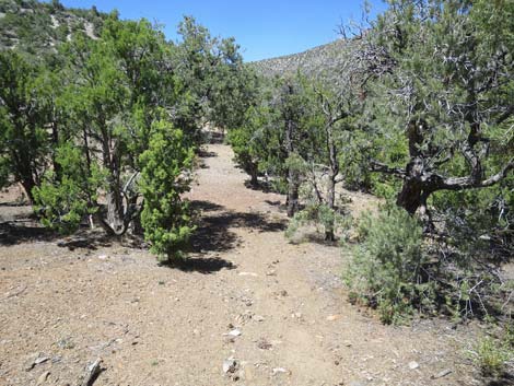
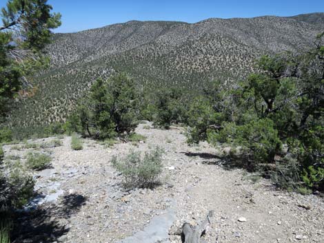 In general, the trail is easier to follow heading downhill (view SE) |
 Descending moderate grades (view NE) |
 |
 |
 |
 |
 |
 |
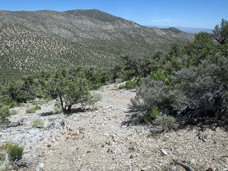
 Descending moderate grades (view NE) Descending moderate grades (view NE) |
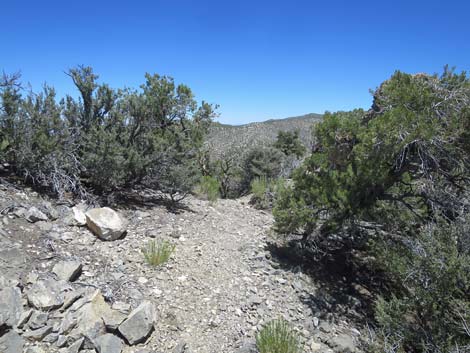
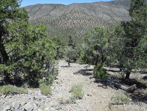
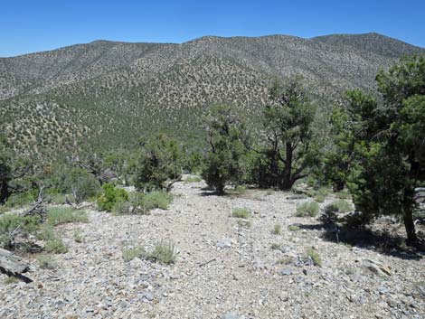
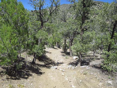
 Descending moderate grades into the trees (view NE) |
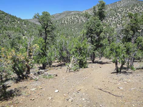
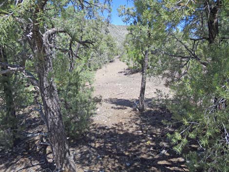 In the trees, trail approaches end of old road (view E) |
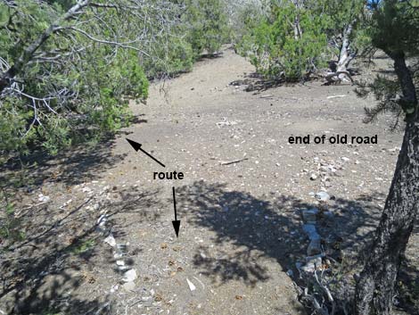 Trail arrives at end of old road and turns left (view E) |
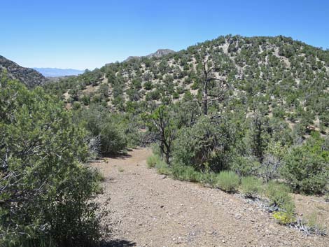
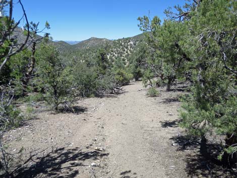 Easy walking on the old road (view N) |
 Easy walking on the old road (view N) |
 Easy walking on the old road (view N) |
 Top of the steep section of the old road (view N) |
 Descending the steep old road (view N) |
 Descending the steep old road (view N) |
 Steep old road approaching the original trailhead (view N) |
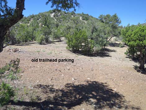 Old road arrives at the original trailhead (view N) |
 At the original trailhead, the route turns right to run downhill (view N) |
 Route follows old road down the gully (view E) |
 Route follows old road down the gully (view E) |
 Route follows old road down the rocky gully (view E) |
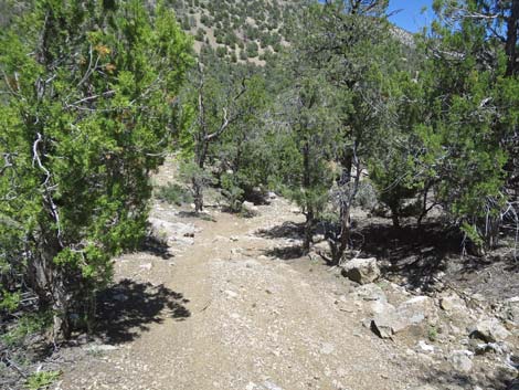 Route follows old road down the rocky gully (view E) |
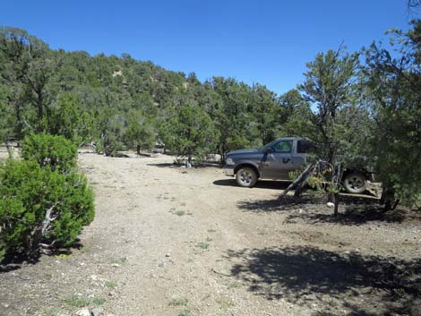 Route arriving at the trailhead (view E) |
Happy Hiking! All distances, elevations, and other facts are approximate.
![]() ; Last updated 240324
; Last updated 240324
| Hiking Around Las Vegas | Glossary | Copyright, Conditions, Disclaimer | Home |